Ponorului Fortresses, Apuseni Mountains

Glăvoi Mountain Rescue (1.090 m) - Poiana Ponor - Izbucul Ponor (1.100 m) - Ponoare (1.070 m) - „La Băncuțe” Fortress Valley - Dolina 1 (1.010 m) - Ponor Fortress Cave - Dolina 3 (1.070 m) - lookout points - Fortress Valley - Glăvoi Mountain Rescue (1.090 m)

Hiking access

Your chosen starting point in Circuit of the Ponorului Fortresses was Poiana Glăvoi, near the mountain rescue point. You get here by road. From Oradea it is 110 km (110 km), which can be covered in 2 hours via DN76 and DJ763. In Poiana Glăvoi there are numerous camping sites and several accommodation establishments.

About hiking

Ponorului Fortresses Tour is one of the most spectacular tourist trails in the Apuseni Mountains and runs in the Ponorului Fortresses Nature Reserve from Apuseni Nature Park. The geographical limits of the Apuseni Mountains are at North River Barcău, at South Mures River, at Western Hills and Western Plain, at East Transylvanian Hill Depression. The highest peak in the Apuseni Mountains is Curcubăta Mare or Bihor, with an altitude of 1849 meters above sea level.

Fortresses of Ponorului is the largest karst complex in Romania and one of the most impressive in Europe, located in the Padiș area of the Apuseni Mountains. Also called the „Everest of Romanian speleology”, it impresses with its gigantic entrance portal (70-80 meters high), the active gallery of over 2000 meters and the three huge sinkholes, being a popular destination for hiking in the Apuseni Natural Park.

Route map

(click on objectives for extended version)

Technical box

Difficulty: hard
Duration / distance: 3-4,5 hours / 7 km
Mark: unmarked / blue dot
Water sources: the spring near the Glăvoi Mountain Rescue (pt 1), the spring in Poiana Ponor (pt 4), Ponor spring (pt 7)
Minimum altitude: 1010 meters above sea level, in front of the main entrance to the cave of the Rădesei Fortress (pt 15)
Maximum altitude: 1040 meters above sea level, near Varnița peak (pt 12)
Level difference: +300 m / -300 m

Remarks: circuit trail, the descent in doline 1 and the ascent from doline 3 are difficult, the balconies from the viewpoints are destroyed, on some parts there are safety cables, sticking shoes are mandatory, it is forbidden to cross the Ponorului Fortress Cave (although it is accessible).

1. Glăvoi Mountain Rescue (1.090 mdm) - Poiana Ponor - Izbucul Ponor (1.100 mdm)

distance 1.7 km / duration 30-45 minutes / easy / unmarked, blue dot

Just in front of the Salvamont Glăvoi point, a wide path runs through the meadow, like a wide corridor of the surrounding forest. After 15 minutes we arrive in Poiana Ponor, where we meet the trails marked yellow and blue dot. We follow them to the left, upstream along the Ponor Valley to the Izbucul Ponor, a place where the water of the stream emerges with great flow from under the cliff after traveling an underground path. Fascinating. A place to admire and photograph.

Glăvoi Mountain Rescue

Library in Glăvoi

group ready to hit the road

the path, though unmarked, is clear and wide

we reach the Poiana Ponor markers

we cross the bridge

Ponorului Valley

me at Izbucul Ponor

2. Izbucul Ponor (1.100 m) - Poiana Ponor - Ponoare (1.070 m)

distance 0,8 km / duration 15-30 minutes / easy / blue dot

We return to Poiana Ponor on the same road admiring the stream until it disappears again! Yes, it simply disappears in the so-called "ponoare", which are nothing more than a couple of sorbages located at the opposite end of the meadow, at the edge of the forest. Stop and photos.

Ponor spring

bre breabăn or fang

in Poiana Ponor

La Ponoare

3. Ponoare (1.070 mdm) - Fortress Valley „La Băncuțe” - Dolina 1 (1.010 mdm)

distance 1,2 km / duration 30-60 minutes / hard / blue dot

We enter the forest. We climb a little and then descend a little. In 20 minutes we're in the Valley of the Citadel, at the point called „La Băncuțe”. There's no stream running on the surface, but that's what it's called. After a short stop we continue on the blue point marker, which soon leaves the yellow point to the left, which leads into the Cheile Galbenei. We descend steeper and steeper. We enter the Dolina 1 of the Ponor Fortress. The huge portal of the cave of the Ponorului Fortresses appears in our field of vision, which we will have to approach. The last part of the descent is steep and slippery. It's hard to say whether it's better to use the safety chains next to the cliff or to descend on all fours on the main path. We stop at the main cave entrance and enjoy the vastness and realize how small we sound.

dried ponor

through the forest

the crossroads in the Fortress Valley

from here starts the descent to the blue point

we descend to sinkhole 1

Ponorului Fortress Cave

the descent into sinkhole 1 is difficult

we descend in 4 crabs to the main entrance

Ponorului Fortress Cave portal

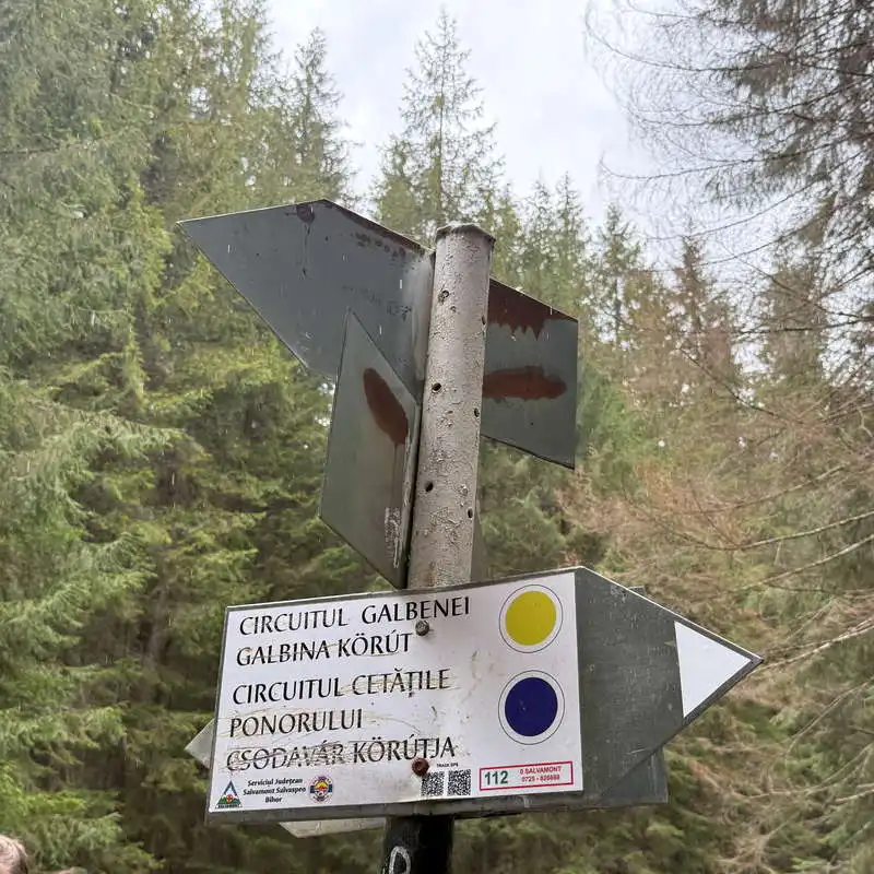
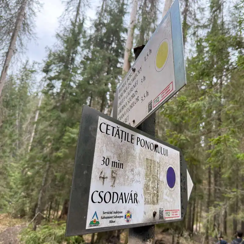
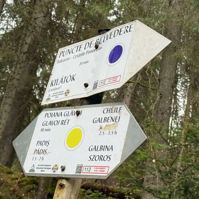
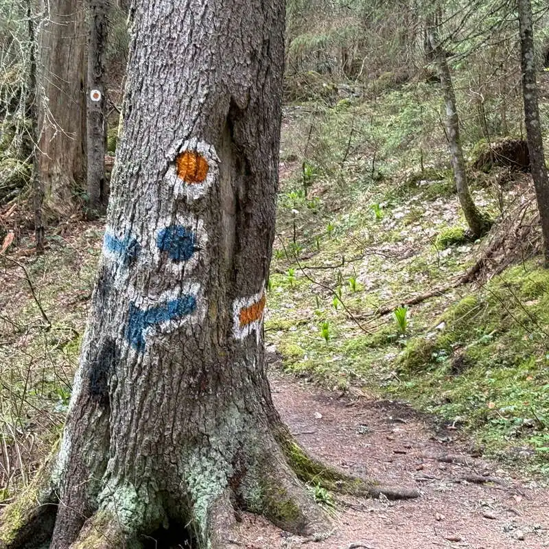
4. Dolina 1 (1.010 mdm) - Ponorului Fortress Cave - Dolina 3 (1.070 mdm)

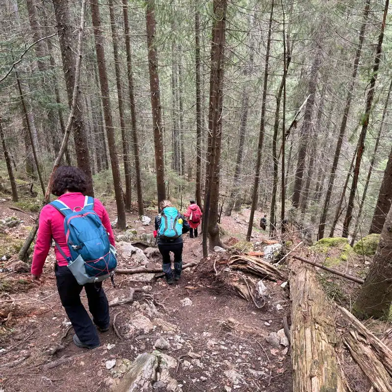
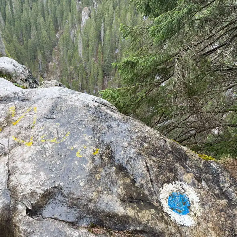
distance 0,5 km / duration 30-60 minutes / hard / blue dot

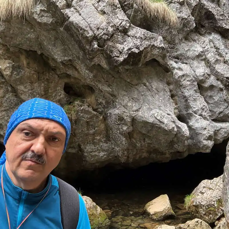
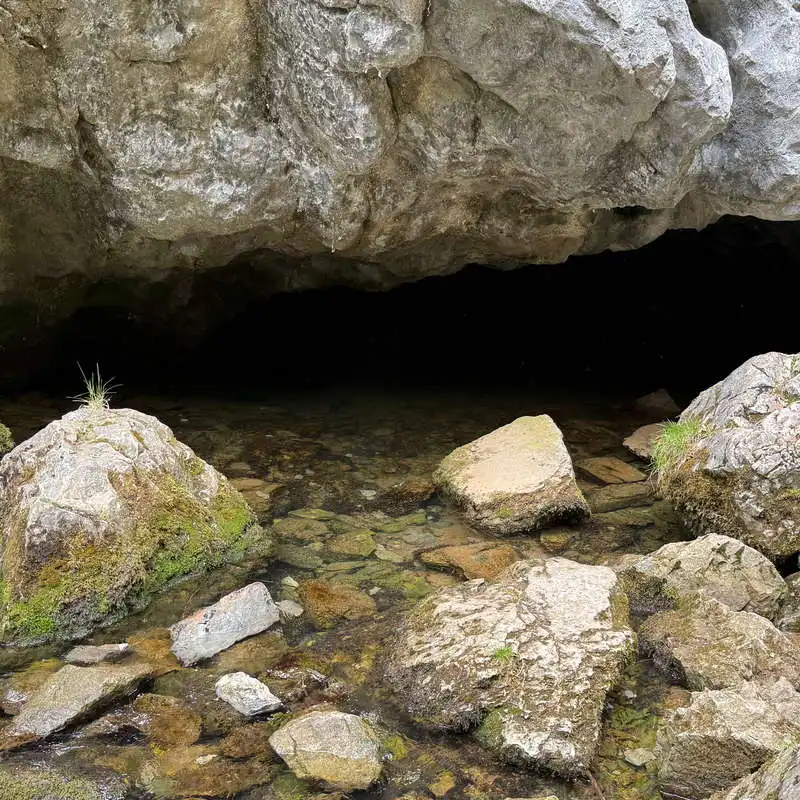
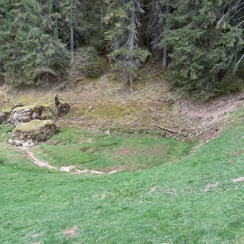
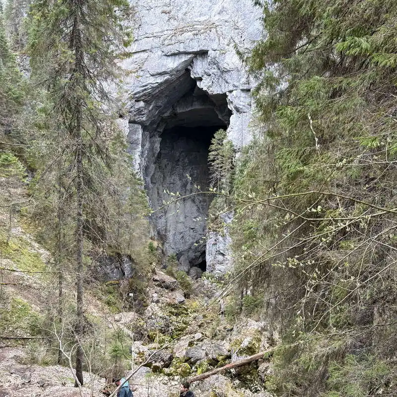
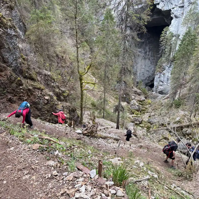
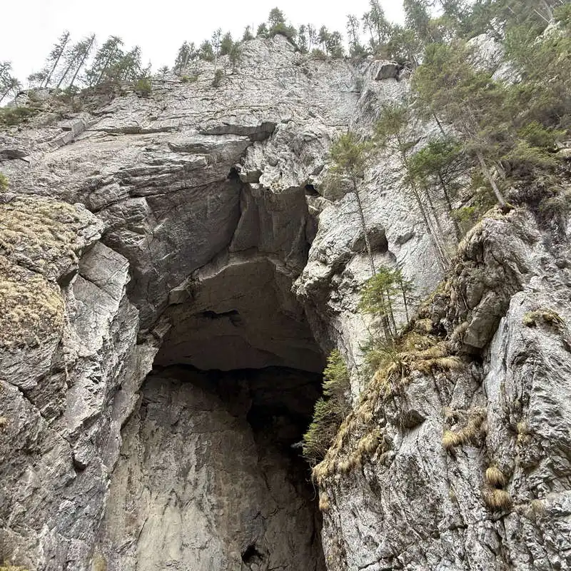
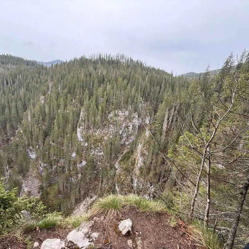
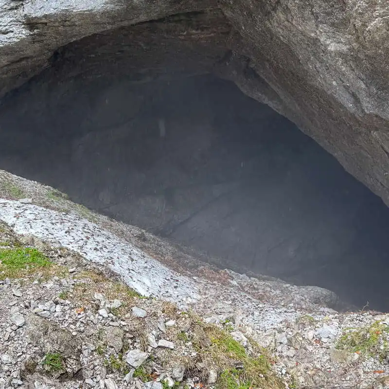
Seems strange. Half a kilometer in an hour! It'd be a shame not to make the most of this section of trail. First you stand mute in front of the limestone portal of the main entrance to the Cave of the Ponorului Fortresses. You can walk down the path to the actual entrance through the large 70-meter high portal. The main gallery of the cave measures 2 km in length and is active and very spectacular, with a strong river flowing through it, with a few small jumps. Doline 1 is 300 meters deep and 1 km in diameter.

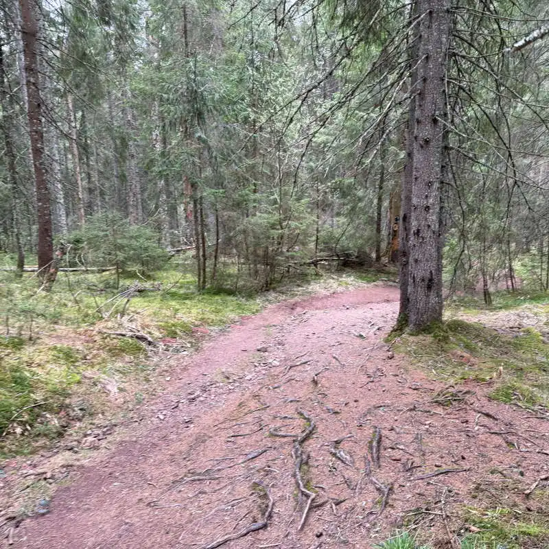
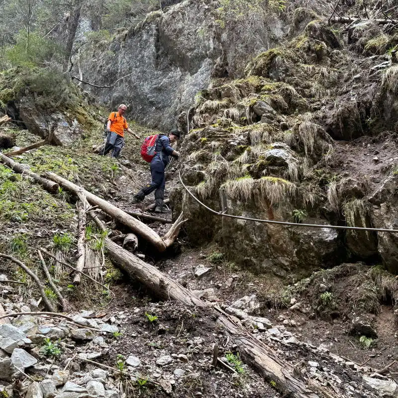
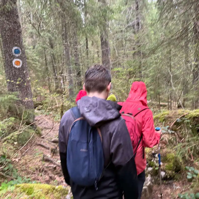
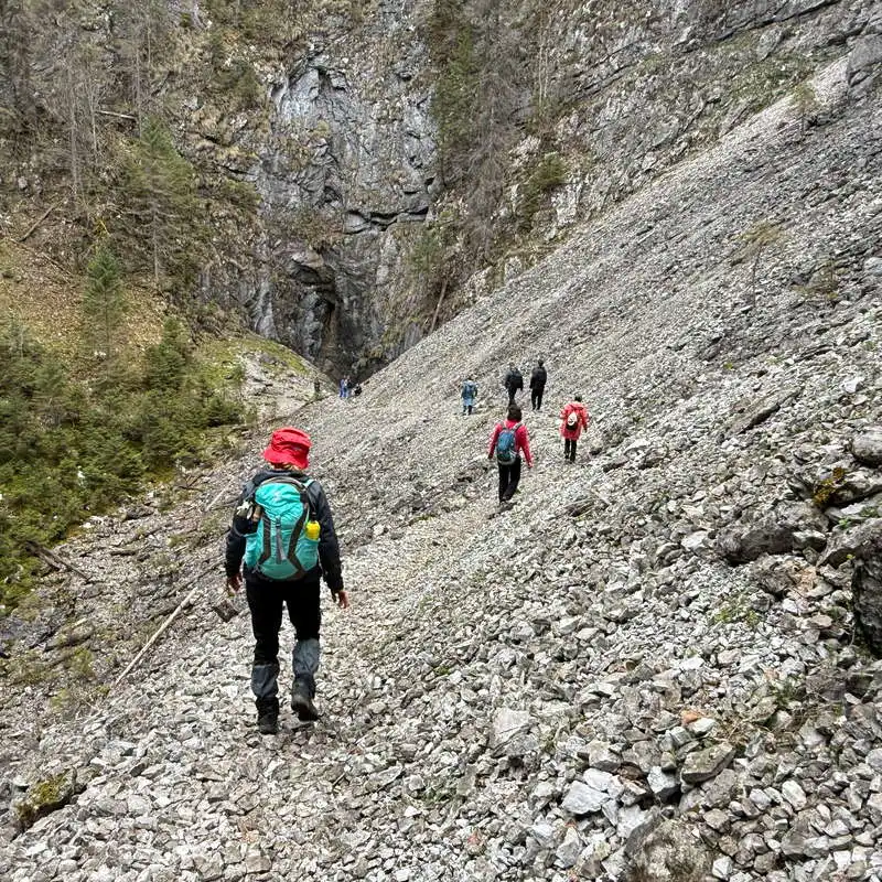
We follow the marked path, which avoids the cave, climbs some metal stairs, and enters Dolina 3, then crosses a stable gully and reaches the secondary entrance to the Cave of the Ponorului Fortresses. Right next to it this time. Here we read that crossing the cave is forbidden to tourists.

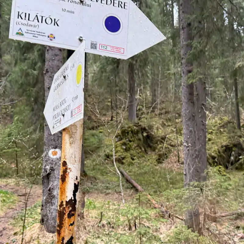
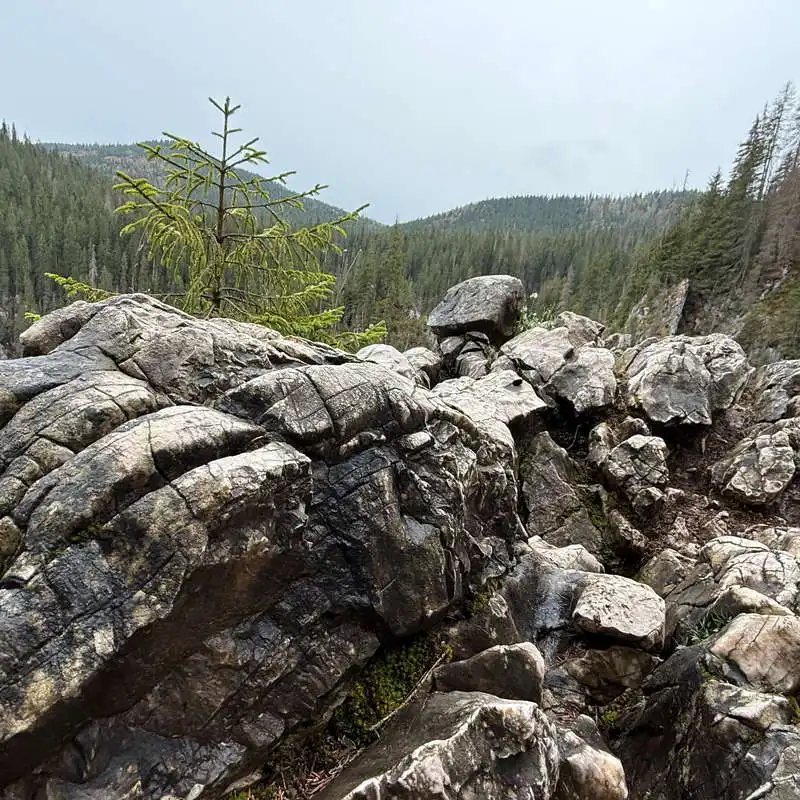
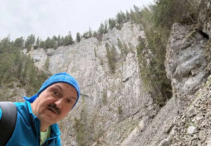
To get out of Dolina 3, especially since the rain has started, we have to climb up a steep and slippery rocky passage, where we can help ourselves with safety chains. The climb ends at the ridge where we meet the yellow point marker again. Break.

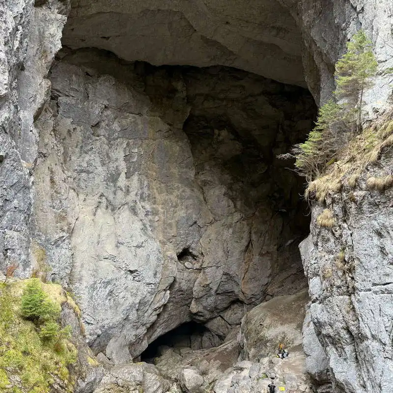
Ponorului Fortress Cave - main entrance

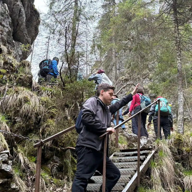
climb the stairs from the main entrance to the cave

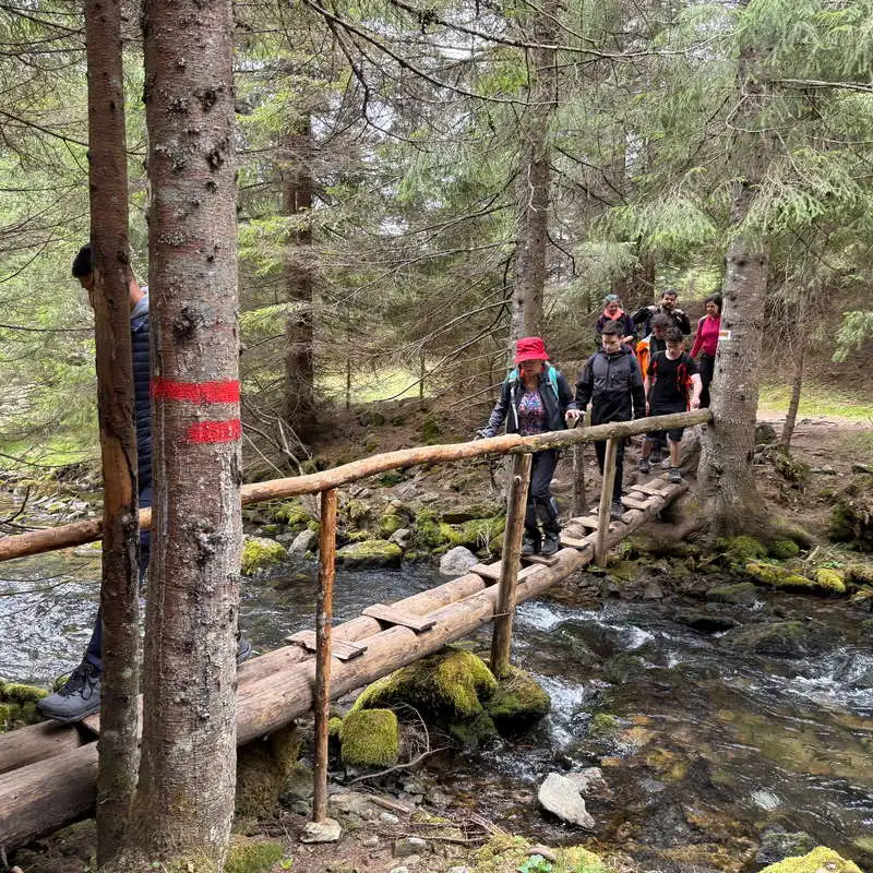
a sheep through a stable thicket

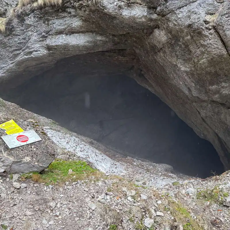
no access to the Ponorului Fortresses Cave

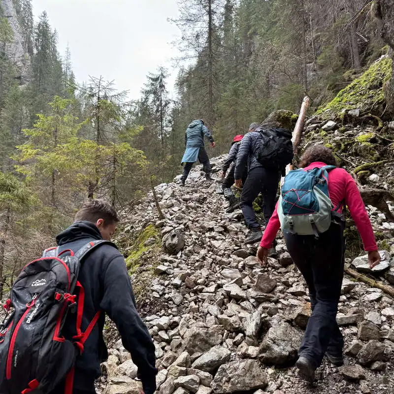
after the cave we climb a more difficult section

Ponorului Fortress Cave - secondary entrance

we climb to the exit of sinkhole 3
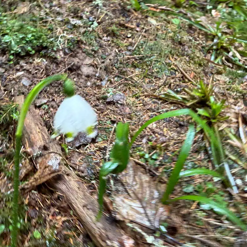
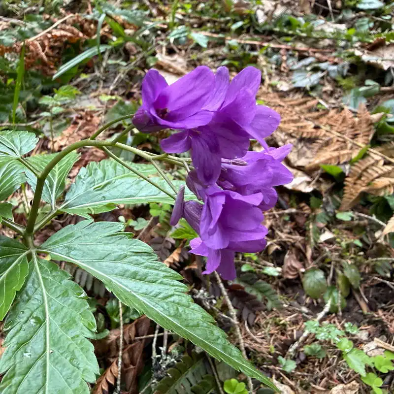
guiocel

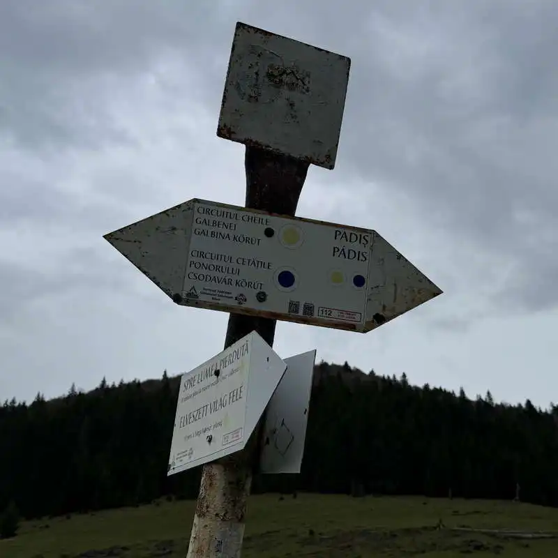
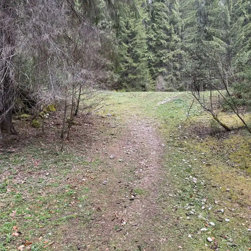
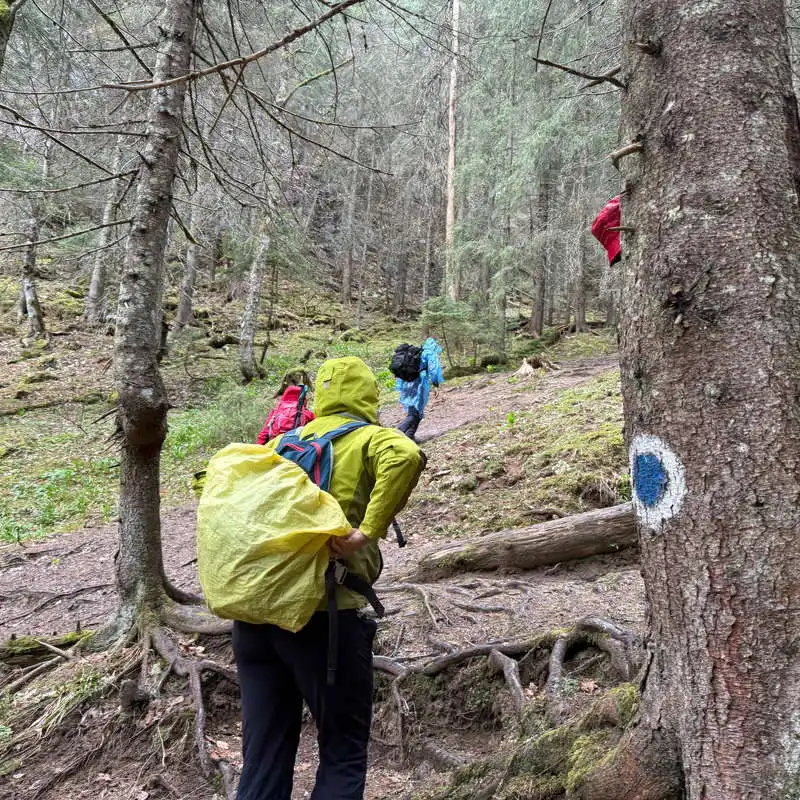
we meet the yellow dot marker again

5. Dolina 3 (1.070 mdm) - lookout points - Citadel Valley - Glăvoi Mountain Rescue (1.090 mdm)

distance 2,5 km / duration 45-60 minutes / easy / blue dot

The path now winds through the forest on the edge above the cliff, through the forest. If earlier we were at the bottom of the cliff, now we are on the lip. We pass 4 lookout points, from where we admire the huge karst phenomenon of the Ponor Fortresses from above. The viewpoints used to have wooden balconies, today they are a memory. This segment is worth several breaks to photograph the beautiful scenery.

The trail then heads up into the Valley of the Fortress, and the last 700 meters of the trail are along the paved carriage road in the Valley of the Fortress. We end the superb walk and exploration at the Glăvoi Mountain Rescue Point, next to the ingenious library in Poiana Glăvoi.

entry point in sinkhole 3

through the forest we don't feel the rain too much

to the viewpoints

beneath us is the abyss

here used to be balconies

another vantage point

Group photo at the viewpoint

we arrived in the Valley of the Citadel

the road in the Fortress Valley

end of the road

Poiana Glăvoi

Conclusion

Ponorului Fortresses Tour is one of the most famous and spectacular routes in the Apuseni Mountains. It's a route that can be done in 2,5 hours „on the run”, but it's a pity not to enjoy it for 3-4 hours. Izbucul Ponor, Ponoarele, Dolinele, Cave of the Ponor Fortresses, viewpoints... there are so many places to admire. Visit the Ponorului Fortresses!

All the best!


Steps:

en_USEnglish