Retezat Ridge – Godeanu – Cernei – Day 3 of 7 – Retezat Mountains

Curmătura Tulișa (1,555 m) – Văcarea Peak (2,238 m) – Custura Peak (2,457 m) – Plaiul Mic Saddle (1,879 m) – Poiana Pelegii (1,620 m)

Access

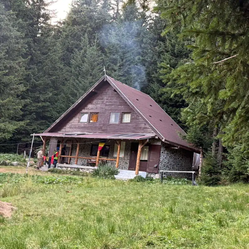
This post describes the route for the third day of the expedition along the ridge of the Retezat–Godeanu–Cernei Mountains, the red-marked trail. We will traverse—not without considerable effort—the highest section of our entire 7-day route. The highest point was reached at Custura Peak in the Retezat Mountains, at 2,457 meters above sea level. Other entry/exit points to/from the ridge: at Curmătura Tulișa in Uricani, at Custura Peak Custura Peak from Custura Saddle (from the highest point), at Plaiul Mic Saddle from Buta Cabin or from Poiana Pelegii. Although the mapy.com map shows a camping symbol near Tăul Păpușii, near the Plaiul Mic Saddle, camping is prohibited there, which is why we veered slightly off the ridge trail and camped at Poiana Pelegii, where the Mountain Rescue Center is also located.

About Day 3/7 Hike

It was a tough day. Long and tough. From Curmătura Tulișa to Lespezi Peak, there were five back-to-back, exhausting climbs. But we made it above the deciduous and coniferous forests, above the juniper belt, into a sea of granite boulders characteristic of the Retezat Mountains. What splendor! The 2,500-meter peaks of the Retezat came into view: the peaks of Peleaga (2,509 m) and Păpușa (2,508 m), the impressive glacial cirques of the Retezat, and some of the numerous glacial lakes, also known as the „Eyes of the Retezat.” We also picked blueberries in the lower section of the trail. We rationed our water—and even had to make do with the lack of it. We took a slight wrong turn on the trail, but managed to get back on the right path. Finally, from the Plaiul Mic Saddle, we had to descend to Poiana Pelegii so as not to violate the camping rules in the Retezat Nature Park.

Route map

(click on objectives for extended version)

Technical box

Difficulty: hard
Duration / Distance: 10–12 hours / 23 km
Trail marking: red stripe up to the Plaiul Mic Saddle, followed by a blue stripe and a red cross after the saddle
Water sources: Checkpoints 2—Tătărescu Spring, a very good water source at the start; checkpoints 8, 10, and 11 (which we did not visit), then only checkpoints 28 and 29, and finally at the destination, checkpoint 33 in Poiana Pelegii
Minimum elevation: 1,390 meters above sea level, point 6 on the map, at the saddle before Pilugul Mic Peak
Maximum elevation: 2,457 meters above sea level, Custura Peak, point 19 on the map
Elevation gain: approximately +1,300 m / -1,300 m

Notes: At point 15, there are three possible routes. Taking the left-hand path, continuing along the contour line you came on (toward point 16), is incorrect! You must climb steeply along the ridge line toward Valea Măriii Peak (toward point 18). From this point, you can also descend to the right into the cirque where the glacial lakes Tăul Custura Mare and Tăul Custura Mică are located, to replenish your water supply and/or set up camp, if necessary.

1. CTulișa (1,555 m) – Pilugul Mare (1,752 m) – Văcarea Peak (2,238 m)

5–6 hours / 10 km / difficult / red trail

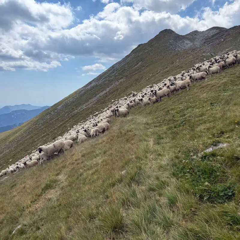
We set out at the crack of dawn so that the heat will catch up with us as high up as possible, knowing that we’ll be climbing a long way across open terrain. After stocking up on water at the Tătărescu Spring (pt 2), we cross the forest near the Făgețel and Pilugul Mic peaks, take a short break, and that’s when the show begins. The climb. Actually, the climbs! First, you climb through the Pilugul Mare forest and emerge into an alpine clearing with junipers and blueberries, from where you can (partially) see what lies ahead. It’s the grueling, seemingly endless climb up Văcarea Peak. Nearly 500 meters of elevation gain, through juniper bushes, then across an alpine clearing, over granite slabs. The closer we get to the summit, the more clearly we can see the trail continuing slightly to the right.
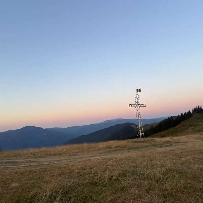
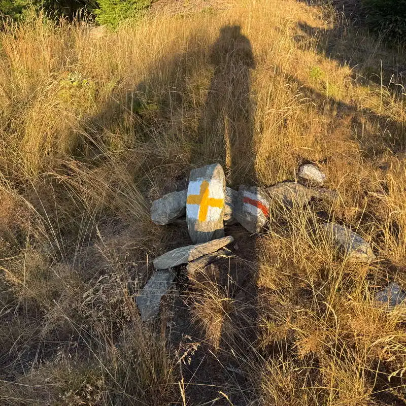
one of the two crosses in Curmătura Tulișa

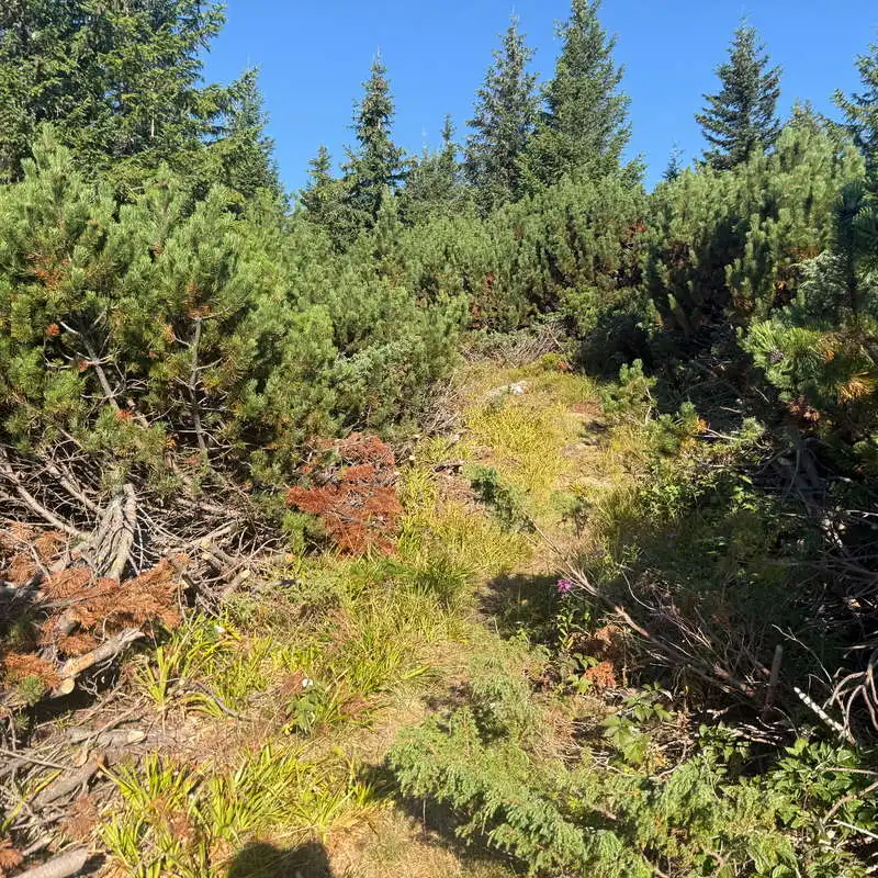
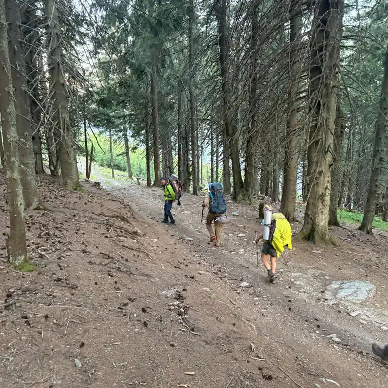
through the forest below Făgețel Peak

From here on out, we have five climbs ahead of us, almost one after another

the juniper bush in the Pilugul Mare area

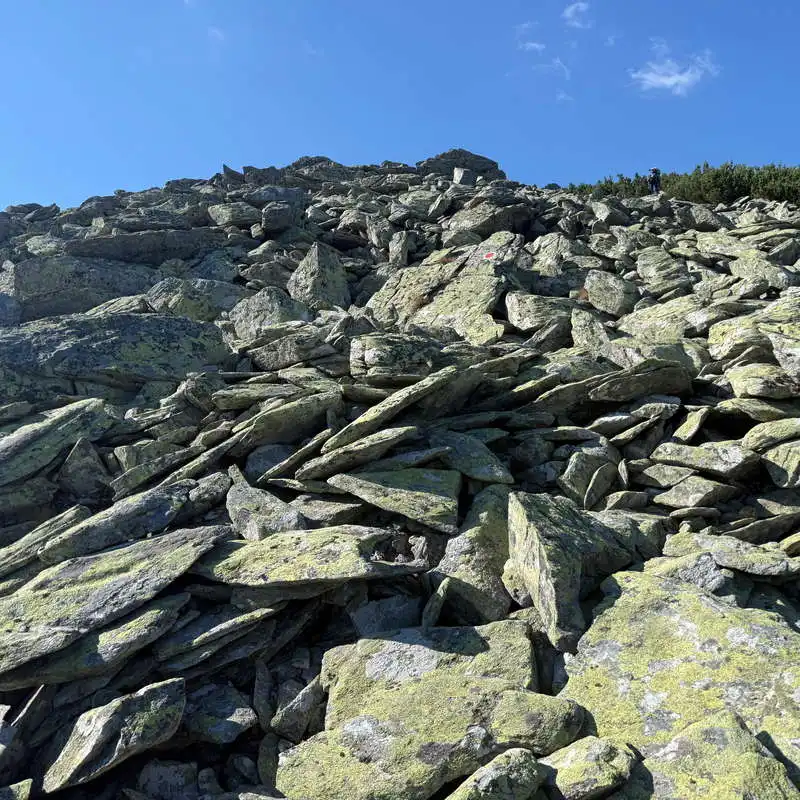
Climbing up the granite blocks is exhausting

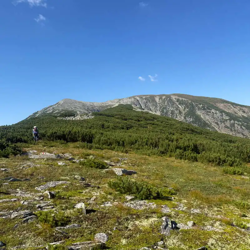
We have to climb Văcarea (ahead) and then Gruniu (to the right)

2. Văcarea Peak (2,238 m) – Gruniu (2,294 m) – Valea Măriii Peak (2,383 m) – Custura Peak (2,457 m)

2–3 hours / 5 km / difficult / red trail

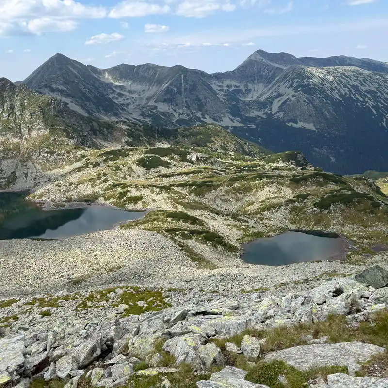
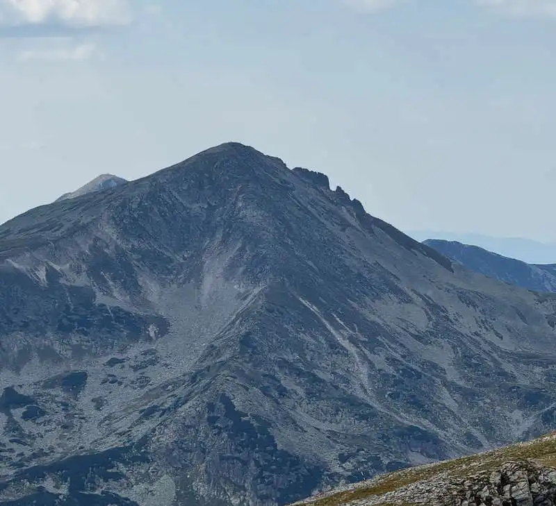
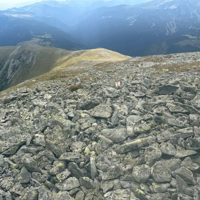
To the right, we continue climbing, more gently this time. We go around Gruniu Peak and enter a gentle contour line. At point 15 on the map, we must leave the contour line and begin a steady ascent along the ridge line, even though the contour line continues forward on a gentle descent. In the cirque to the right, two stunning lakes appear—Tăul Custura Mare and Tăul Custura Mică—where you can descend if necessary. The crossing from Măriii Peak to the sloping ridge of Custura Peak is through large granite boulders, and the trail marking is sparse. I had to use my hands to help me climb back onto the marked trail. The final ascent ends at Custura Peak. Hooray!

From here, you must ascend exactly along the ridge line toward Valea Mării Peak

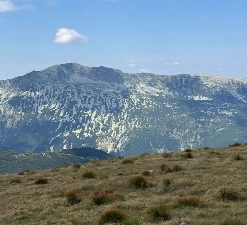
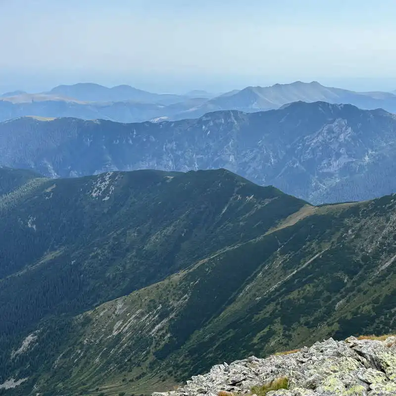
the highlands of the Retezat Mountains

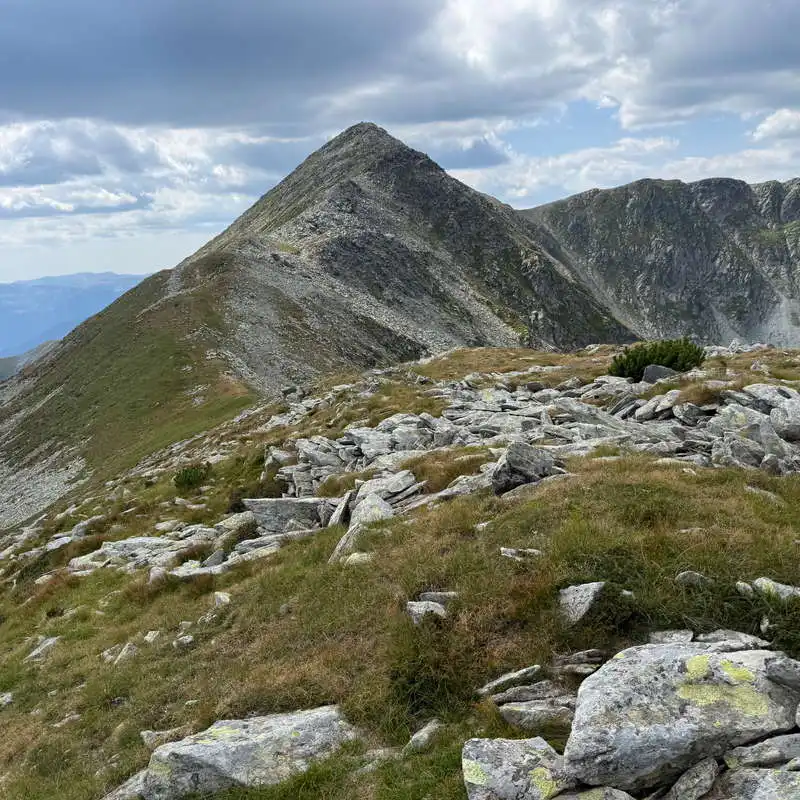
Valea Mării Peak and Custura Peak

Custura Mare Lake and Custura Mică Lake

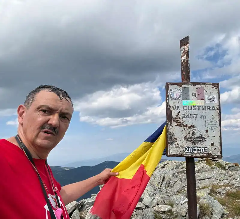
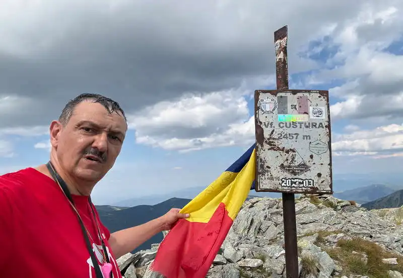
Me on Mt. Custura

3. Custura Peak (2,457 meters above sea level)

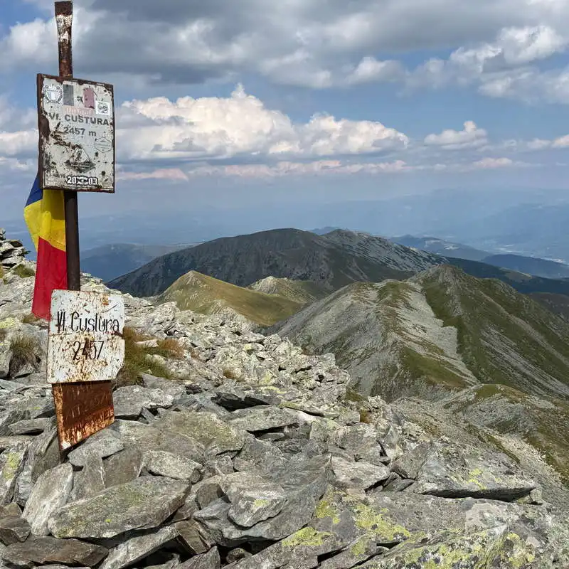
Custura Peak is the highest point reached both on this day and along our entire ridge route through the Retezat–Godeanu–Cernei Mountains. However, it is NOT among the top three highest peaks in the Retezat Mountains. The highest peaks in the range are Pelega Peak (2,509 m), Păpușa Peak (2,508 m), and Retezat Peak (2,482 m). From here, on Custura, we can admire all three of these peaks, as well as others. We can look ahead toward the Plaiul Mic Saddle and Piule Iorgovanul, where we’ll continue. Further to the right, we see Slăveiul and Judele, then the major peaks of Retezat, Bucura, Pelega, and Păpușa, all the way to Vârful Mare. If we turn around, we can see where we came up from. A Panoramic view from Custura Peak You can find it in the video here.

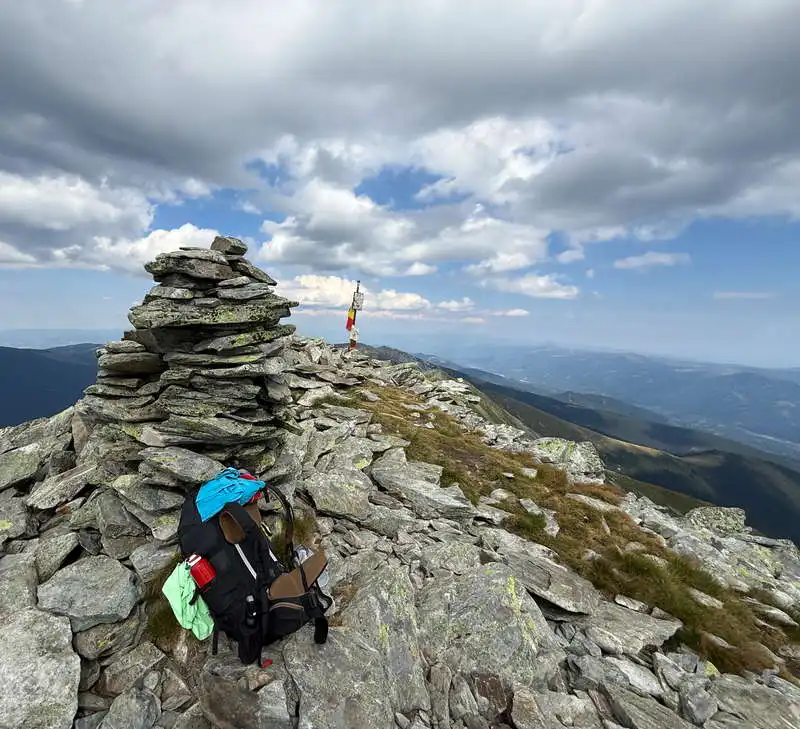
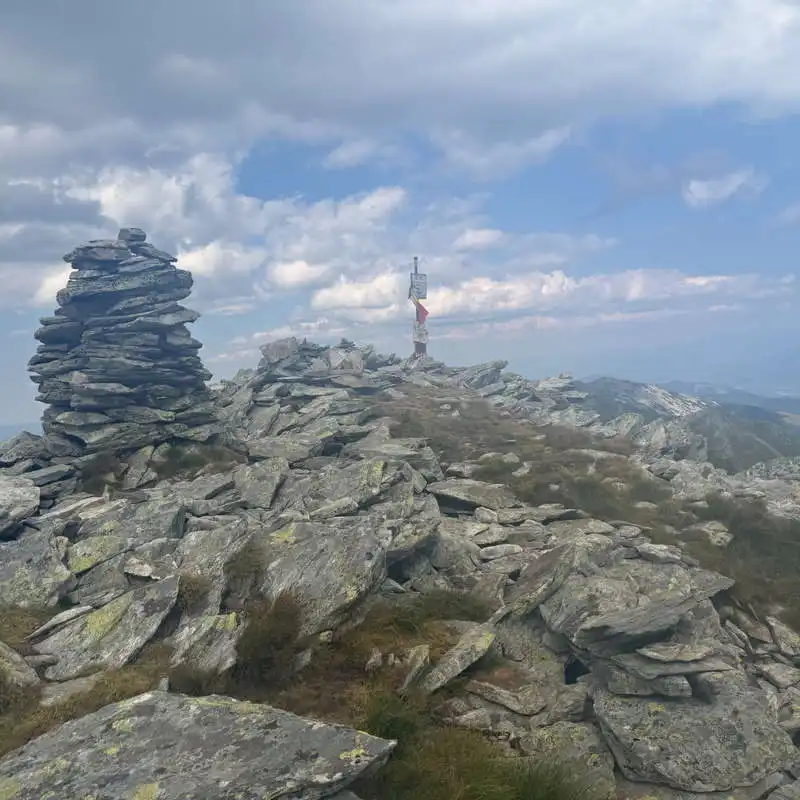
Custura Peak, the highest point of our expedition

In the center, vaguely. Iorgovan's Rock, tomorrow's destination

The Magnificence of the Retezat Mountains

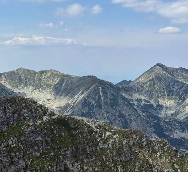
Mount Peleaga and the Pelegii Peaks as seen from Mount Custura

Păpușa Peak (left) and Mare Peak (right) are connected by the Closed Gates

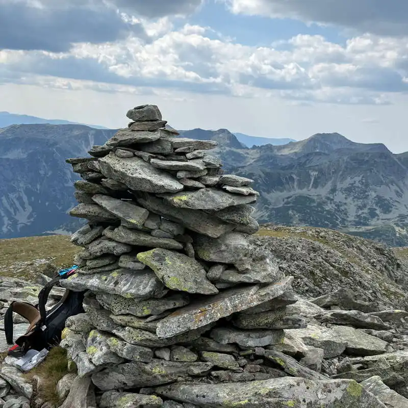
the cairn on Custura Peak

4. VâCustura Peak (2,457 m) – Plaiul Mic Saddle (1,879 m)

1–1.5 hours / 4 km / moderate / red trail

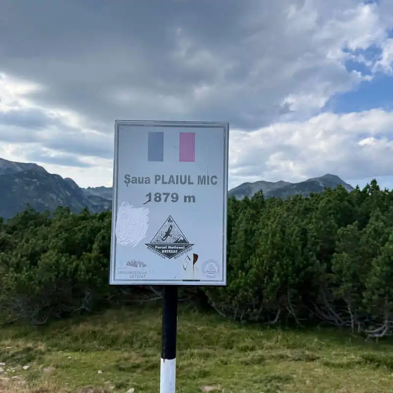
We begin our descent. Just below the summit, to the right, the trail marked with a yellow cross branches off toward Păpușa Peak. We descend straight ahead—quite steeply at first, then more gently—and after passing through a wide tunnel of juniper bushes, we arrive at the Plaiul Mic Saddle. This is a trail junction. Heading back toward the starting point is our red-striped ridge trail; to the left, the descent takes 1 hour to Buta Cabin; to the right, it also takes 1 hour to Poiana Pelegii. The cross-country trail is marked with a blue stripe and a red cross. Since we had run out of firewood, we descended for 20 minutes to the spring near Poiana Pelegii before the main regrouping, and of course we then climbed back up for another 30 minutes. Camping is prohibited in the Șaua Plaiul Mic area. Regrouping.

Goodbye, Custura!

the descent from Custura Peak toward Plaiul Mic Saddle

Plaiul Mic Pass

5. The Saddle Plaiul Mic (1,879 m) – Poiana Pelegii (1,620 m)

1 hour / 1 km / moderate / blue trail & red cross

Near the signs at Șaua Plaiul Mic, turn right, leaving Tăul Păpușii on your left (camping is not allowed here either), and begin a steep descent through the forest. Here we pass two springs; the first is right on the trail and has a very good flow. The descent ends in Valea Lăpușnicul Mare, which we cross via a wooden bridge with a railing, and then we climb a short way up to Poiana Pelegii, where there’s a campground and a mountain rescue station. That’s it for today! A long and tough day! And spectacular!.

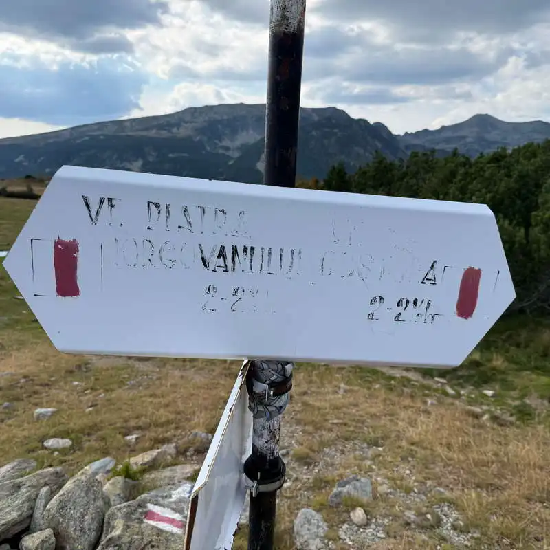
Signpost for the ridge trail at Plaiul Mic Saddle

Păpușii Pond

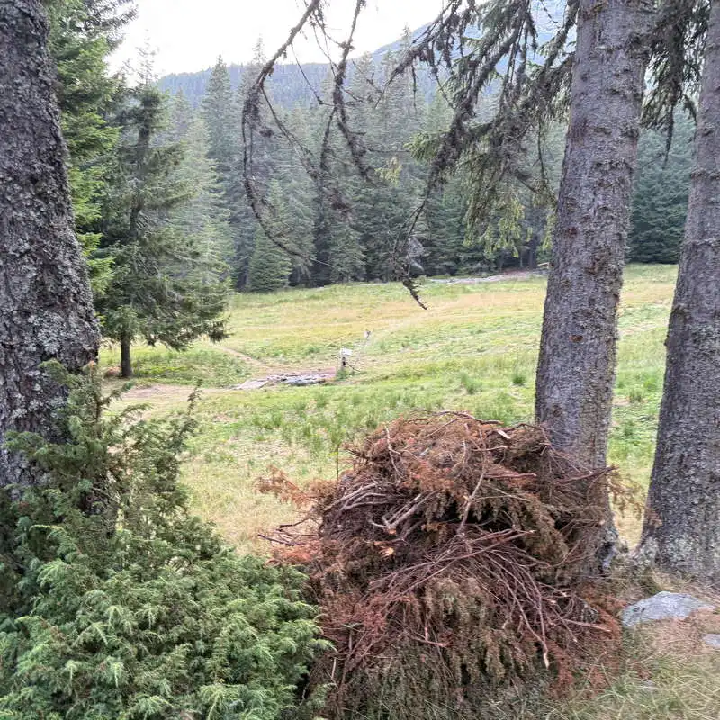
Poiana Pelegii

Poiana Pelegii Mountain Rescue Service

Conclusion Day 3 of 7

1. Difficult, and in some places very difficult.

2. 5 nearly consecutive climbs

3. Pay attention to the route before heading up the Mării Valley!

4. A lack of water for quite a stretch, making the climb through the alpine pass under the intense sun a challenge.

5. Stunning views of the Retezat Mountains

6. Reached the highest point of the route at Custura Peak

All the best!

Steps:

en_USEnglish