Bedeleu Circuit, Trascău Mountains

Sub Piatră Monastery (600 m) - Ypote Waterfall (630 m) - Bedeleu Balcony, Groși Cave, Zmeilor Gate (1.100 m) - Bedeleu Plateau - Bedeleu Abrupt - Under the Stone Monastery (600 m) - Papara's Huda Cave (690 m) - - Under Stone Monastery (600 m)

Access

The starting and ending point of the hike, where we also parked the cars, is Monastery Under the Stonefrom the village of Sub Piatră, Alba county. From Alba Iulia there are 100 km to Turda in 1 hour and 45 minutes via the A10, then the DN75 to Sălciua and another 6 km on the asphalted but narrow DC130. From Cluj-Napoca there are 84 km, which can be covered in the same time via the DN1 to Turda, following the same route as above. You can park free of charge at the monastery gate or in the courtyard.

https://youtu.be/7VNjpu5FPH0

About the Bedeleu circuit

Bedeleu Circuit can be found in Trascău Mountains. This route is a spectacular one, which reaches some particularly spectacular sights, such as the travertine waterfall of Yippote, the superb panorama from the balcony of Bedeleu, the natural arch of the Zmeilor Gate and the Huda cave of Papara.

Route map

(click on objectives for extended version)

Technical box

Difficulty: medium, with some difficult passages
Duration / distance: 7-8 hours with breaks / about 10 hours with breaks, about 20 km
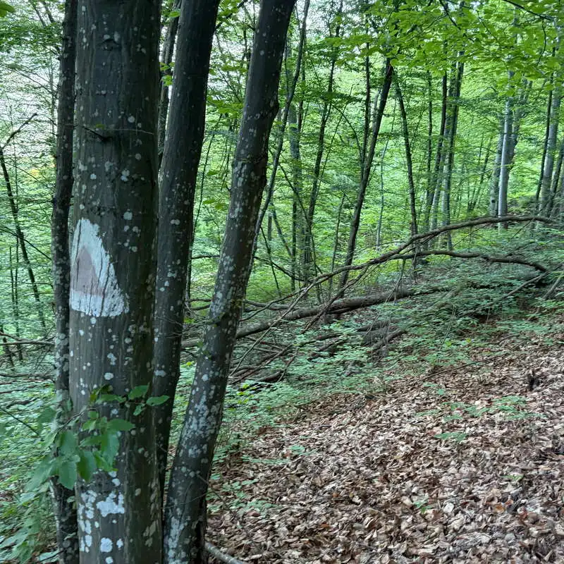
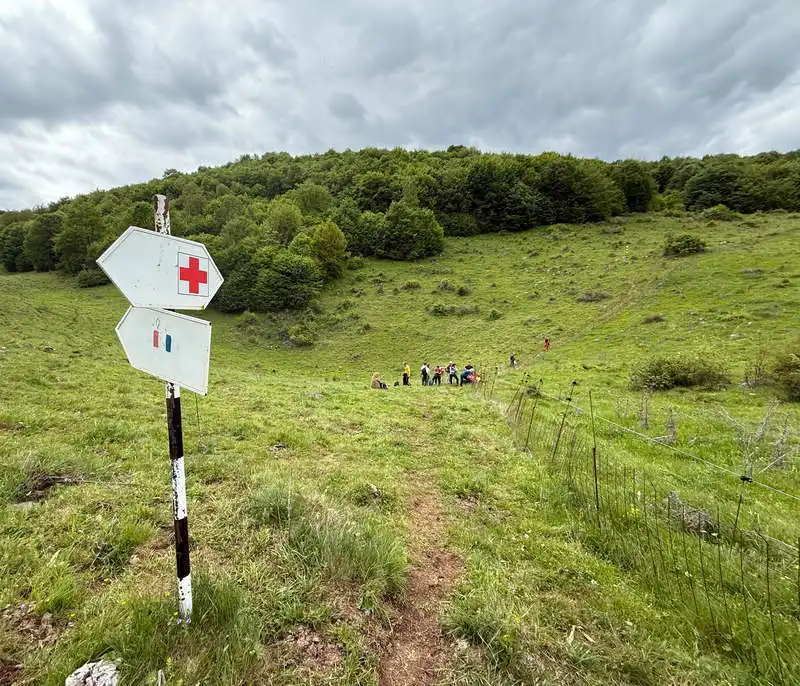
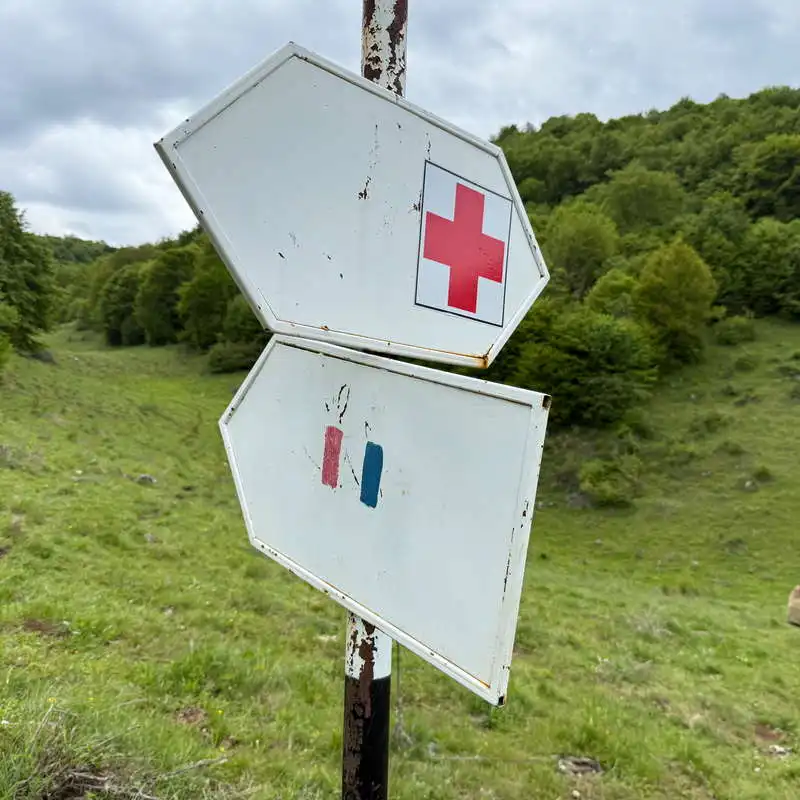
Marking: red triangle, red cross, red and blue stripe, yellow stripe, red triangle, unmarked
Water sources: last household after the monastery
Minimum altitude: 600 meters at the start
Maximum altitude: 1,160 meters above sea level, on the plateau after map point 11
Level difference: about +900 m / -900 m

Comments: the circuit route is poorly marked in places, but offers a breathtaking view from the balcony of Bedeleu

1. Under Stone Monastery (600 m) - branch (710 m, point 4)

60-75 minutes / about 3 km / easy / red triangle

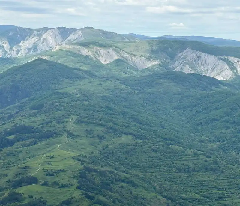
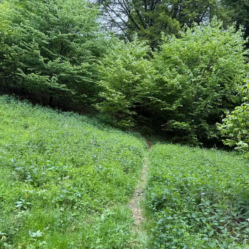
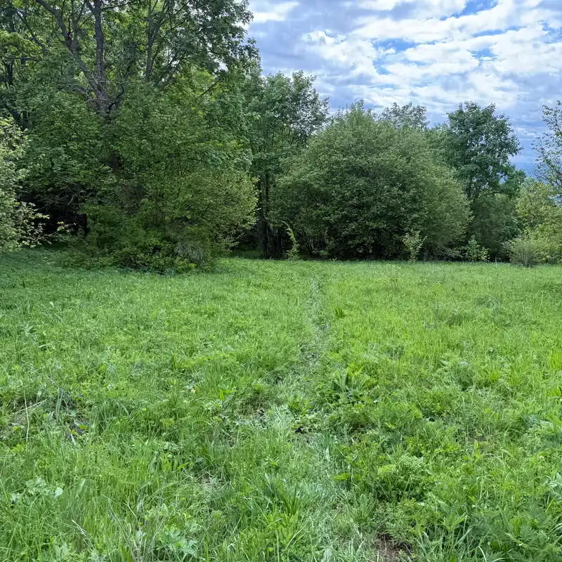
We cross the courtyard Monastery Under the Stone and we follow the poorly marked, but at first very clear, footpath, which passes through an area of pasture occasionally interrupted by clumps of bushes. There is no marking at all of the branch with the yellow stripe marking, which is where we will return. This is followed by a small climb up a grassy area where the markings are completely missing, which involved a bit of wading. On this section of the road we admired behind us the Piatra Bedelăului escarpment, where the Vânătările Ponorului waterfall is located, the Bedeleului escarpment between the Drăgoi and Rogoaze peaks. On the last stretch there is a lookout point towards the Arieș valley, from where we enter the forest accompanied by the yellow stripe marking. We reach a branch trail, marked with a signpost, at point 4 on the map.

Monastery Under the Stone

crossing an obstacle

species of confiere

2 markings joined together

2. Ramification (710 m, point 4) - trail junction near Ypote (650 m, point 6)

30 minutes / about 1.5 km / easy / red triangle

We change direction at a sharp angle and continue on the same red triangle marker, through the forest, until we come to an intersection of several trails, in a glen only good for regrouping and resting. Here we leave the backpacks to make a spectacular detour, but return to the same point.

important intersection

through the forest

resting place

3. Intersection trails near Yippote (650 m, point 6) - Yippote Waterfall (630 m, point 7) and return

2 x 5 minutes + 10 minutes to the waterfall / 2 x 0.3 km / medium / red cross

A wooden signpost leads us after a short, slightly steeper descent near the Ypote Waterfall. It is in fact the upper waterfall, the lower one being located right at the national road, at the confluence with the Arieș river. Our waterfall is spectacular due to the many threads of water trickling down a travertine rock step. There is a grotto beneath the rock over which the waterfall flows, which can be entered by passing under the spray. We return along the same path to the junction where we left our rucksacks.

to the waterfall

Ypote travertine waterfall

cave under the Ypote waterfall

waterfall water beads

4. Intersection of trails near Yippote (650 m, point 8) - the balcony on Bedeleu Plateau (1.100 m, point 9)

2 hours / 2 km / difficult / red cross

Let's be careful to continue on the red cross marker as soon as we cross the stream. For a good part of the way we climb slowly through the forest. At one point we suddenly change direction to the right and start an increasingly steep and slightly slippery climb. At the top the path becomes rocky. Trekking poles or branches, roots and rocks that provide holds or support are useful. Once we reach the plateau, a signpost shows that we are very close to the famous balcony, balcony on the Bedeleu plateau. The balcony is redone and we find it in very good condition.

From the balcony we admire the beautiful deep and winding valley of the Arieș river and after it the Mare Mountain, from which the rocky cliff of Belioara where we were a few weeks ago.

On the balcony we take a big break.

Belioara Climbing Trail, Mount Mare

we change direction in the forest

we climb the rocks

the climb to the top

redone balcony

Bedeleu balcony

view from the balcony

Big Mountain

Belioara Staette

Arieș Valley

5. Balcony on the Bedeleu Plateau (point 9) - Groși Cave (point 10) - Zmeilor Gate (point 11), elevation 1.100

10 minutes + photo time / 0.2 km / medium / medium / red cross

From the plateau a marked footpath (it's not obvious where it originates) descends a few steps a little steeply, somewhere below the balcony, where you'll find Groși Cave. The cave can be entered by crouching a little and then climbing up the gallery. There are no stalactitic and stalagmitic formations.

We exit the grotto and a natural archway opens in its continuation. It is The Gate of the Zmeilors. The area being wooded, the vegetation obstructs a wide view. The arch, however, is beautiful.

short descent through the forest

to the cave

Groși Cave

we enter the cave

Groși Cave

natural arch

me at the Fairy Gate

The Gate of the Zmeilors

6. Zmeilor Gate (1.100 m, point 11) - intersection Bedeleu Plateau (1.100 m, point 13)

45 minutes / about 2 km / easy / red cross

This section of trail is now well marked with a red cross. We move along the plateau, sometimes through woodland, sometimes through glades or glades with nettles. We come to a property fence, where we should have been joined by the blue band marking. The path follows to the right along the fence, through the woodland edge. Just around the corner of the property, a short descent into a saddle begins, also alongside the fence. We reach the road junction, marked 13 on the map. We make one more stern and a regrouping, as we change the marker and direction.

towards the balcony, the Zmeilor Gate and the plateau

alternating meadows and forest

markings have appeared in the field

saddle at the fence

7. Intersection Bedeleu Plateau (1.100 m, point 13) - branch Ponorului Waterfall / Bedeleu Abrupt (1.070 m, point 15)

45 minutes / about 2 km / easy / red lane, blue lane

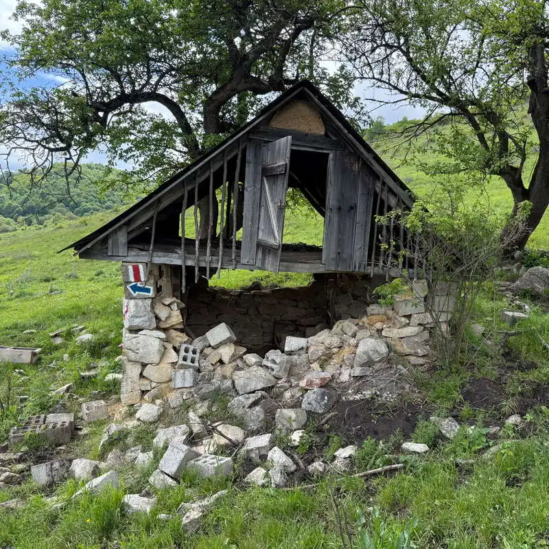
The new markers to follow are red and blue stripes. They follow Bedeleu plateau.To the right we always have woods until the pasture gets wider. From the left we are joined by a piece of yellow band marking. A useful landmark is a deserted copse further down the right hand side of the straight path on the plateau. We pass the shelter and after a slight downhill walk reach another branch. We are at point 15. Here we can make the decision whether to go left to the Vânătările Ponorului waterfall or forward to the Bedeleului Abrupt.

here we change the marking

straight lane on the Bedeleului plateau

this is the way through

crossroads

8. Ponorului Waterfall / Bedeleului Abrupt (1.070 m, point 15) - Bedeleului Abrupt - intersection of the footpath (730 m, point 16)

60 minutes / about 2 km / difficult / yellow lane

We decide to approach the yellow lane marking on Bedeleului Abrupt. At first we descend slowly through the grassy meadow, then we enter the forest. After a short distance the steep descent begins. The path is very clear and well marked. In some places the path is narrow and we have to be careful to tread firmly and steadily with small steps. It is not as slippery as the path we climbed up. We pass a small pothole at the top. We paddle a little further and come out of the forest at the base of the impressive steep steep down which we descended. We recognize the wide meadow where we had crossed and waded in the morning. The meeting point with the path below is not signposted and the orientation is by inspiration, but there is no danger of getting lost.

we are approaching the abrupt

cliff

plenty of pasture

9. Intersection of the trail from the base (730 m, point 16) - Monastery Under Stone (600m, point 17)

45 minutes / about 2 km / easy / red triangle

From now on it's really walking at will on the route we knew this morning. Before the monastery we stopped at the first farmhouse, where a villager pointed out a good spring under a mound of earth to the right of the road, next to his house. We freshened up and then stayed for a story with the villager who prided himself on the animals in his yard. On the descent we had the monastery and the cliffs behind it always before us.

Bedeleului steep

cow

Bedelăului Stone

10. Monastery Under the Stone

The monastery church is dedicated to St. Paraschiva. Monastery Under the Stone was built in the late 18th century. It has restored painting and I liked it. Next to it is a small wooden church.


church nave

church painting

monastery church

wooden church

11. Sub Piatră Monastery (600 m, point 17) - Papară's Huda Cave (690 m, point 18) and return

2 x 15 minutes + photo time / 2 x 0.5 km / easy / unmarked

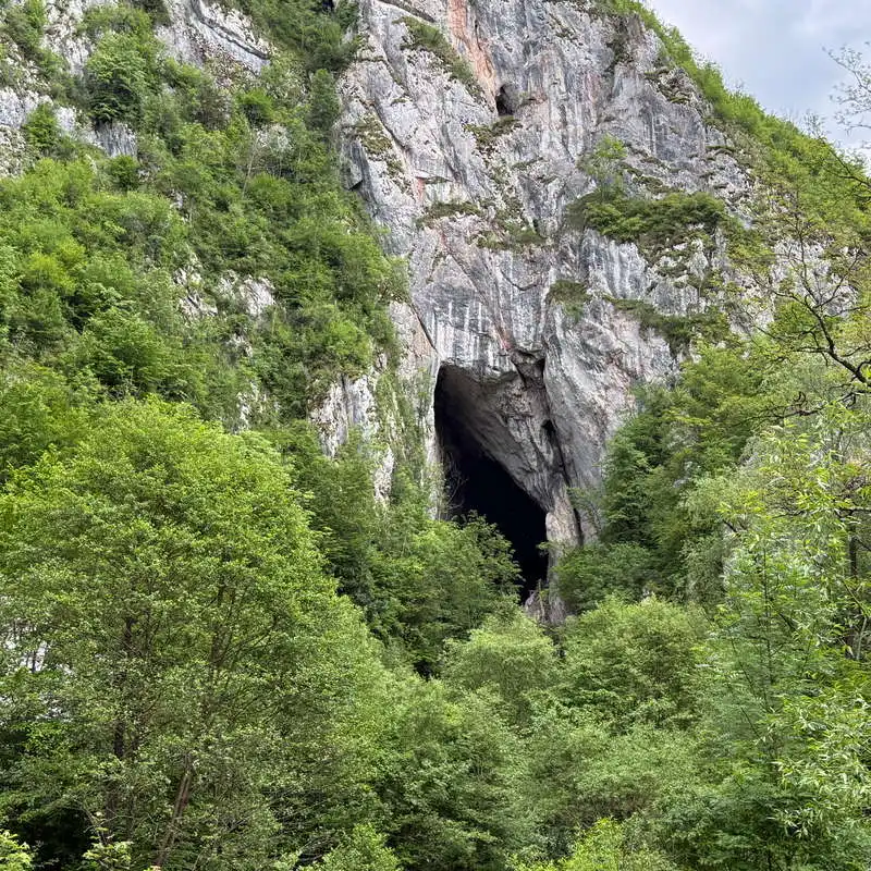
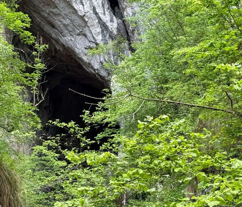
As we exit the monastery gate, a visible signpost directs us to the Huda Cave of Papară. We cross the river on a suspension bridge and get as close as we can to the mouth of the cave that can be seen in front of us. Access to the entrance is made by crossing the river several times. The cave is accessible only for cavers or equipped, trained and guided tourists.

Papara's Huda Cave is a cave of superlatives. It is formed on the Morilor Valley, tributary of the Arieș river, it is the longest (wiki information that I consider erroneous), the most uneven, the most difficult, with the largest hall, the highest gallery, the longest underground course, the highest flow, the largest waterfall, the largest bat colony in Europe.

We return by the same path and bridge to Monastery Under the Stone.

to the cave

Papara's Huda Cave

cave map

Papara's Huda Cave

Conclusion

Route Bedeleu Circuit is a beautiful trail that reaches several spectacular points, such as the travertine waterfall of Yippote, the balcony on the Bedeleu Plateau, the natural arch of the Zmeilor Gate, the Huda cave of Papara. I recommend water supplies and good grip footwear.

All the best!

Steps:

en_USEnglish