Turenilor Gorges, Trascăului Mountains

Former Tureni quarry (500 m) - Tureni Gorge - hut (430 m) - climb right slope (550 m) - traverse right slope - former Tureni quarry (500 m) - left slope (570 m) - Tureni Gorge - former Tureni quarry (500 m)

Access

Turenilor Gorges or Tour of the Tour can be traveled starting from upstream from Tureni (CJ) or downstream from Copăceni (CJ). I chose the Tureni route. Tureni can be reached by road in 26 km from Cluj-Napoca via DN1 which takes 30-45 minutes. Set on Google Maps Cariera Tureni and get to the most convenient place to leave the car, at the end of Morii street in Tureni.

About hiking

The described route is in fact an accumulation of trails. We have chosen to cross the Turenilor Gorges from upstream to downstream, then climb up, and traverse, the right slope of the gorges and descend back to the starting point. This is the first loop of the trail, We then crossed to the left slope, traveled it, descended into the gorges and followed the gorges and back from downstream to upstream closing the second loop of the circuit. The crossing of the Turenilor Gorges is considered a via ferrata route, signposted at both entrances as such with helmet, harness and specific equipment recommendations. The route from the gorges passes through numerous exposed areas where safety chains and toothpicks are provided. Some of these tricky passages can be avoided on the old trail which involves several impromptu crossings of the Racilor creek or even crossing the water. Sticky footwear is absolutely necessary. This is a difficult route, totally not recommended in rain or snow.

Route map

(click on objectives for extended version)

Technical box

Difficulty: hard
Duration / distance: 4-5 hours with breaks / 10 km
Mark: blue triangle / unmarked / blue dot
Sources of water: the spring at the chalet in Cheile Caprei (point 11 on the map)
Minimum altitude: 400 meters above sea level at the downstream stream crossing (point 12 on the map)
Maximum altitude: 570 meters, on the left slope (point 21 on the map)
Level difference: +350 m / -350 m

Remarks: two loops of circuit, crossing the keys back and forth, but also their two sides, route considered via ferrata, with specific arrangements with chains and shells in exposed areas, requires good preparation, good footwear, according to the helmet, harness and carabiners, not to be done in the rain and snow and preferably not when the rock is wet

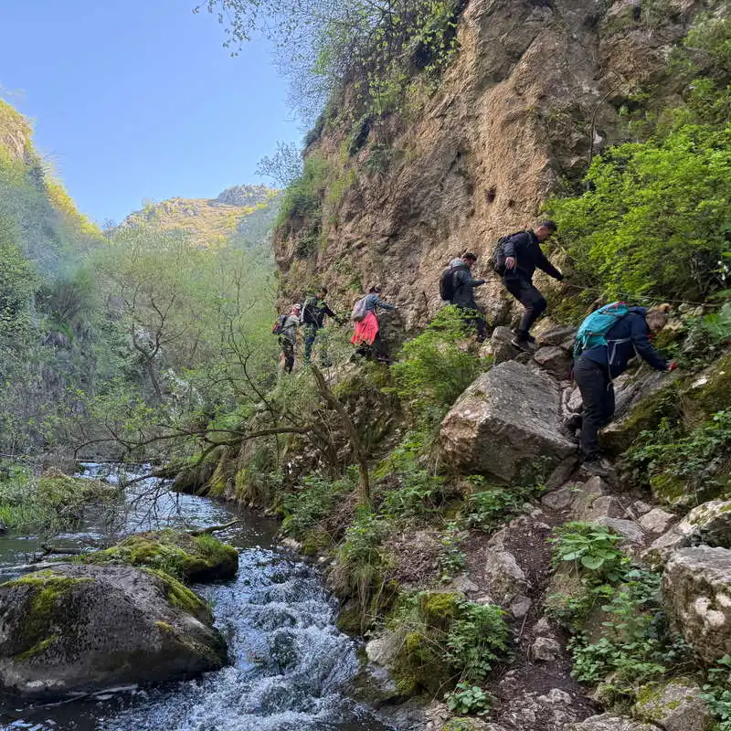
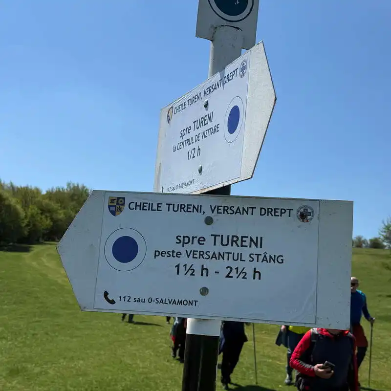
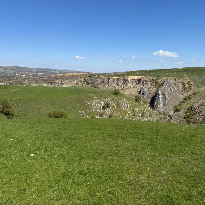
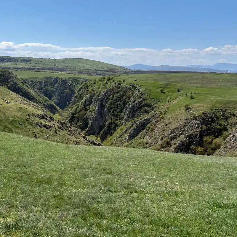
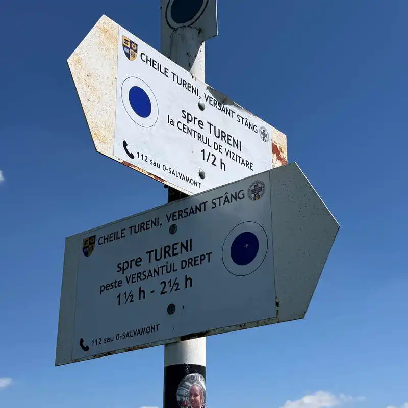
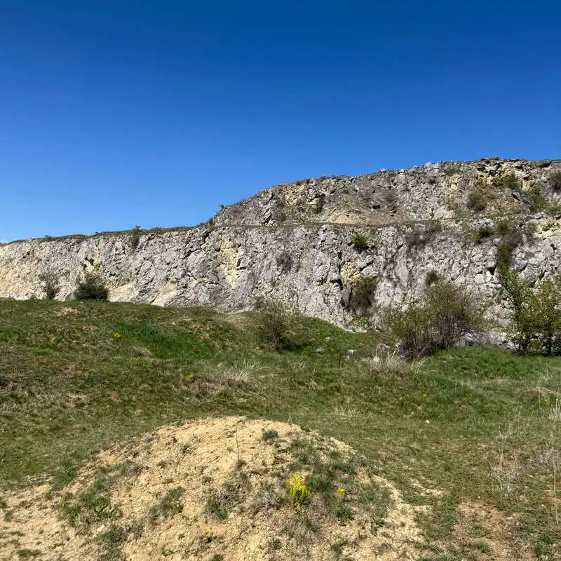
1. Former quarry Tureni (500 mdm) - Turenilor Gorges - hut (430 mdm)

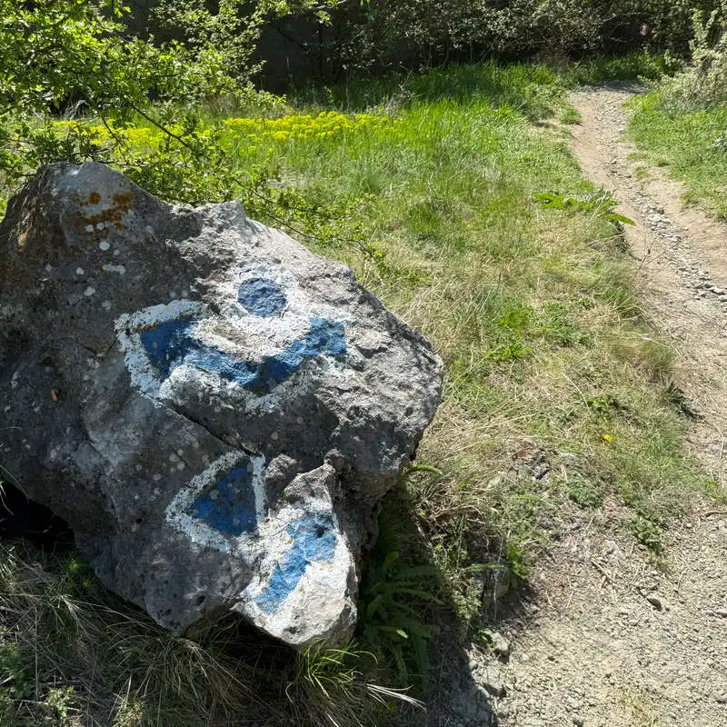
distance 1,7 km / duration 1-1,5 hours / hard / blue triangle

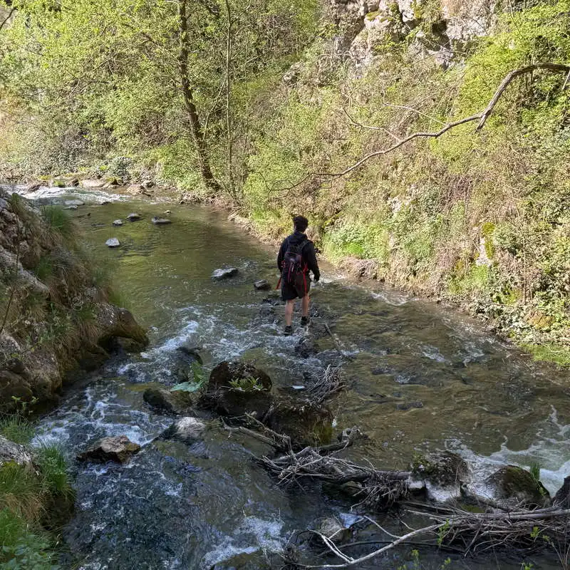
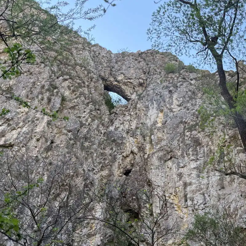
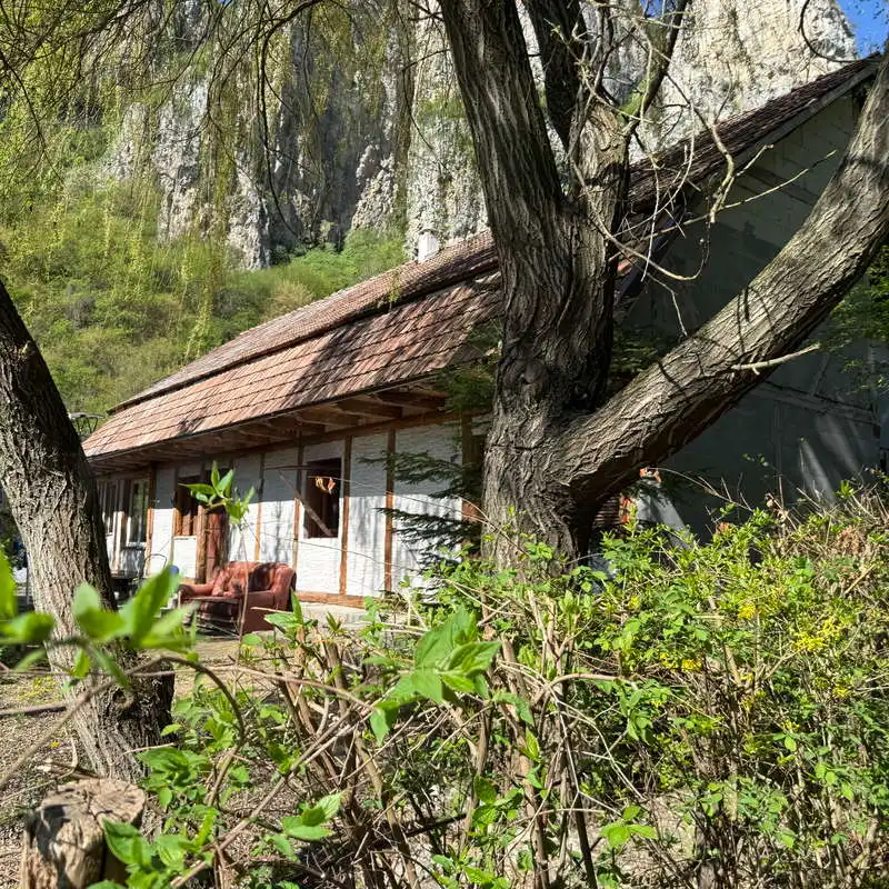
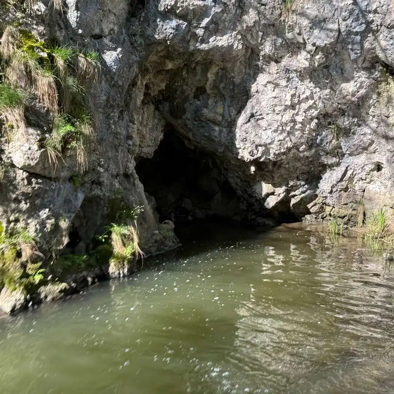
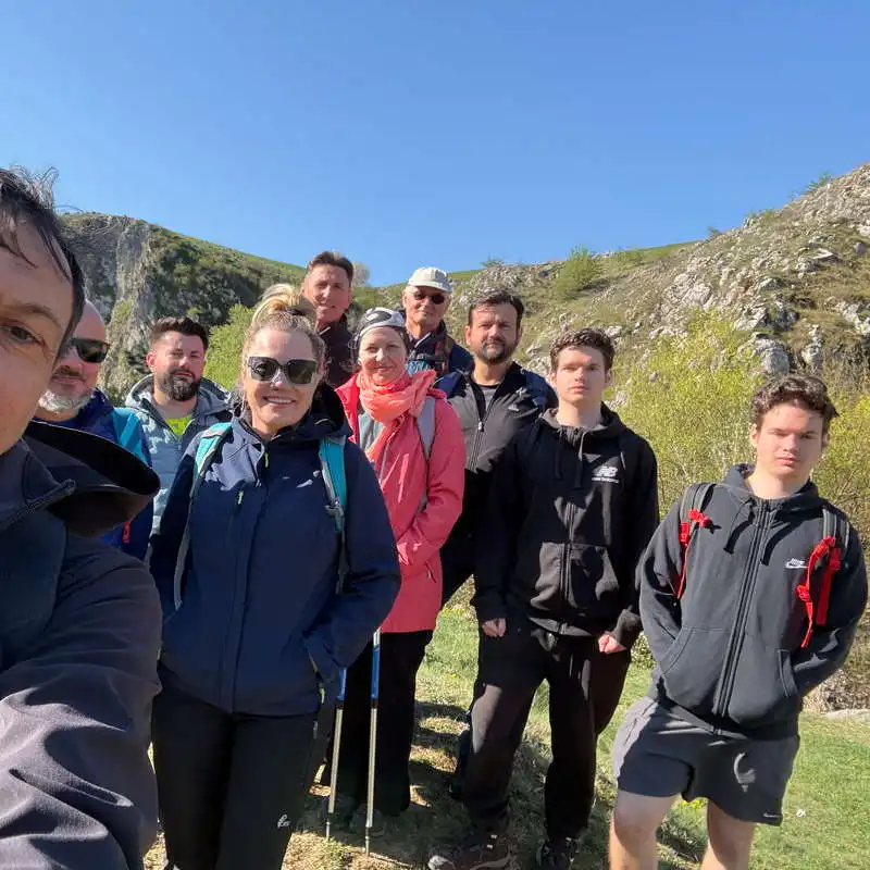
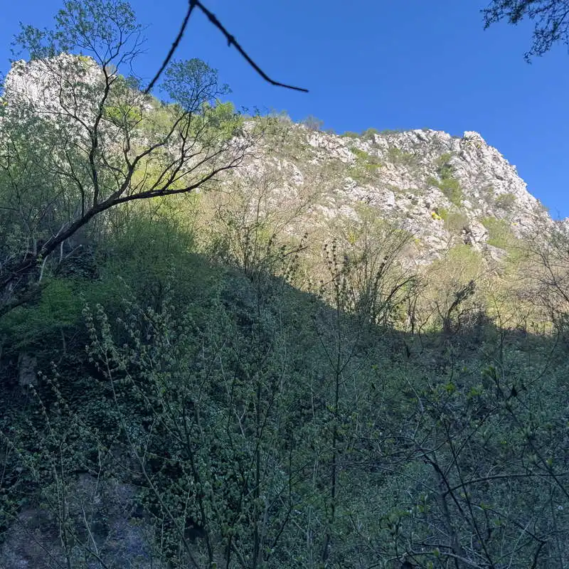
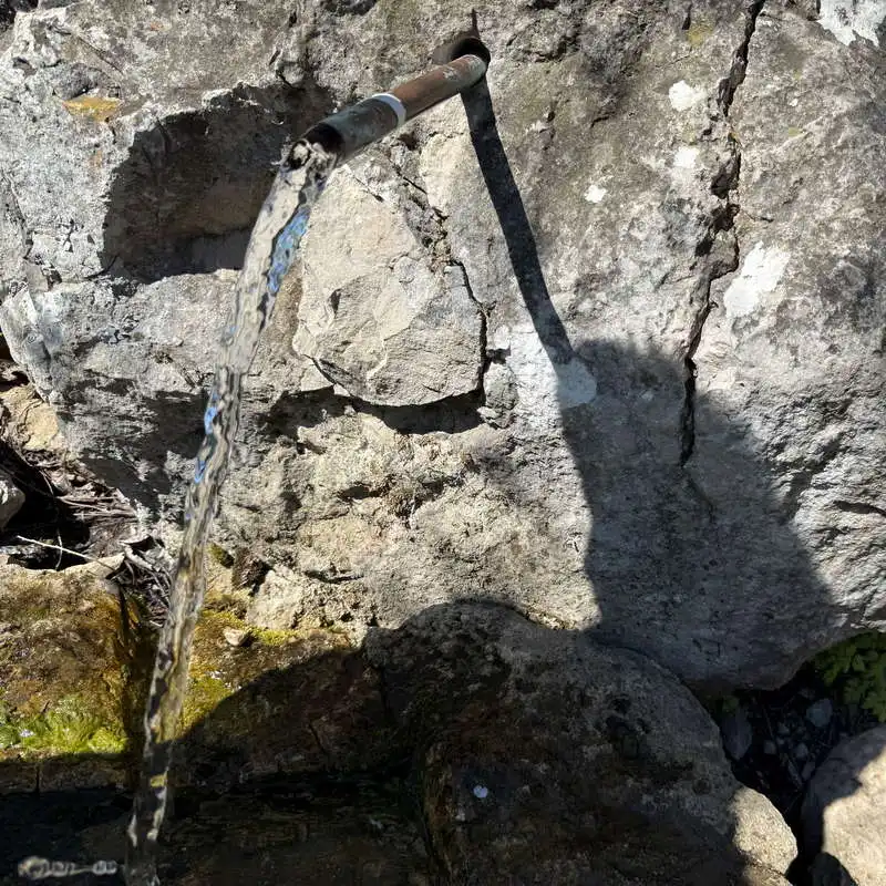
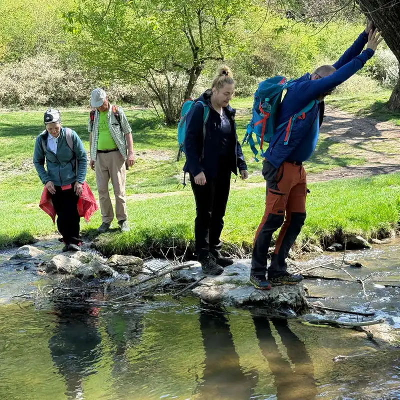
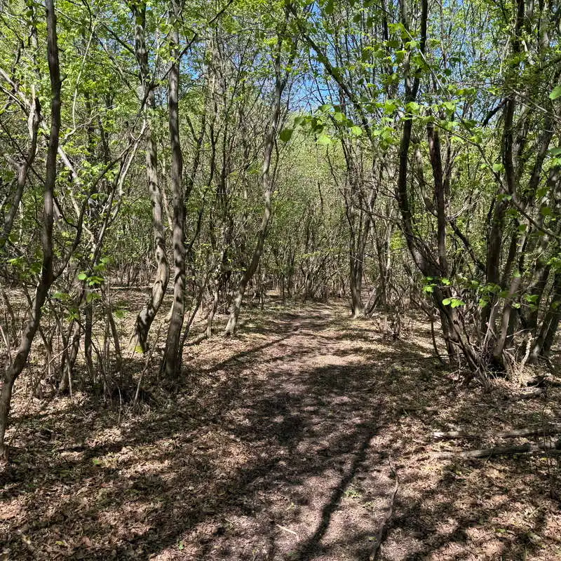
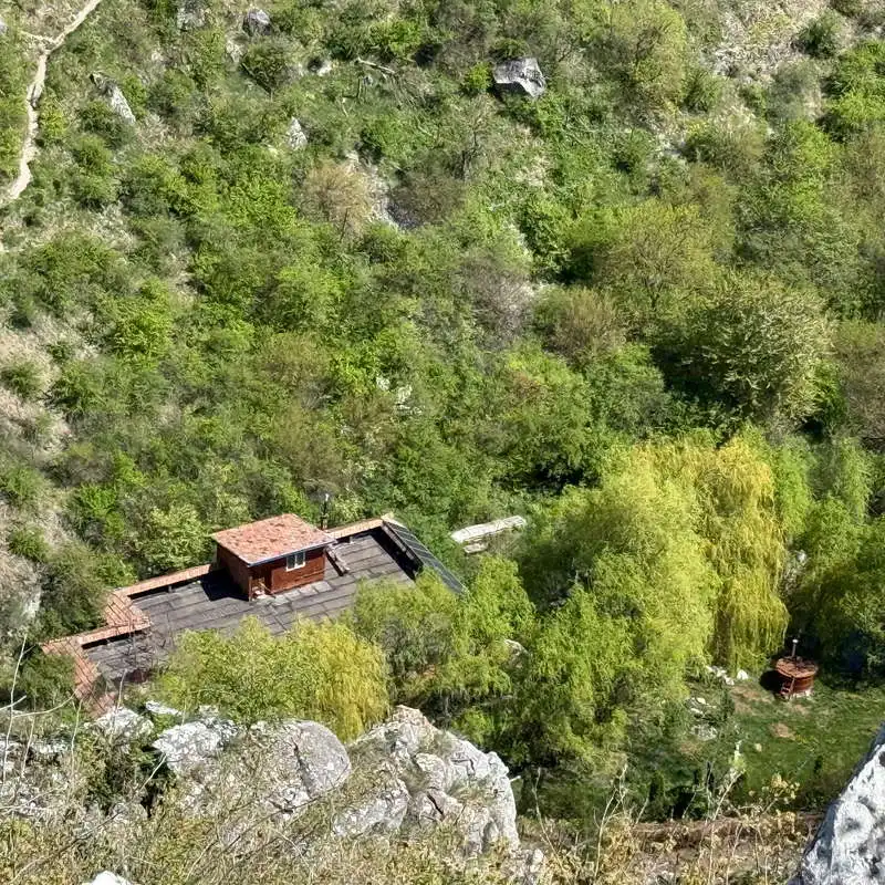
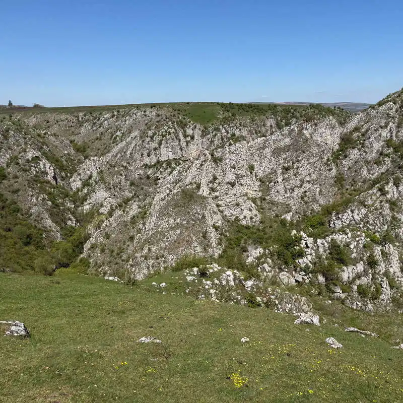
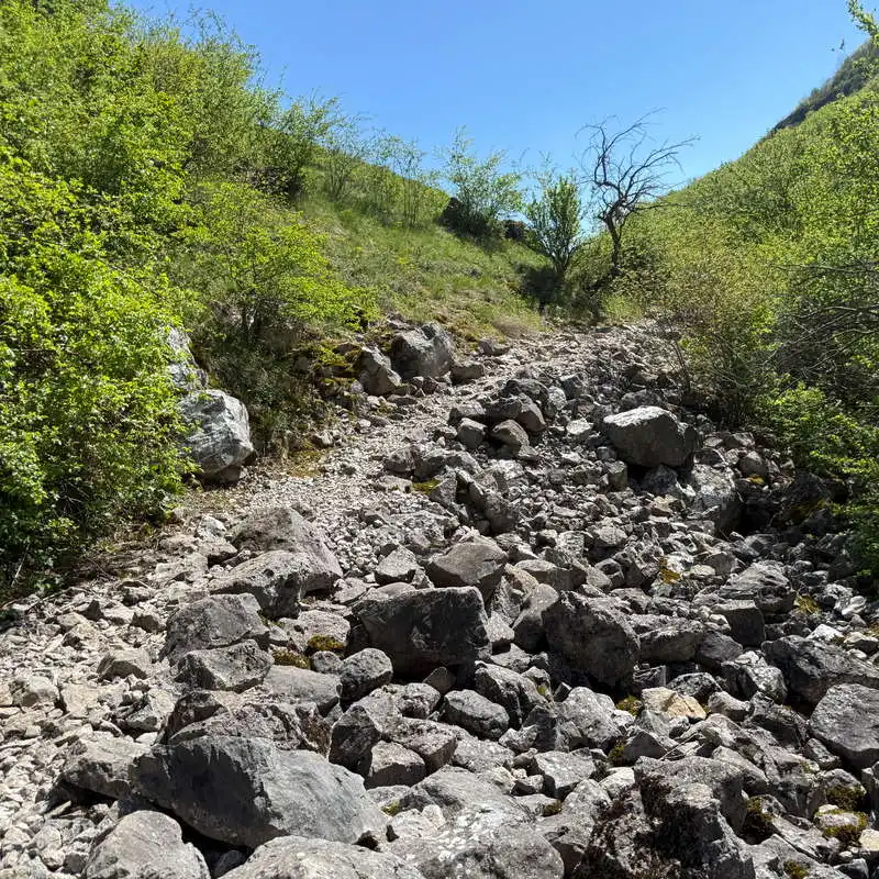
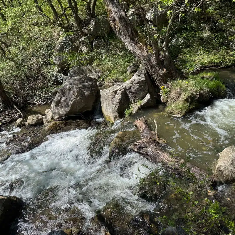
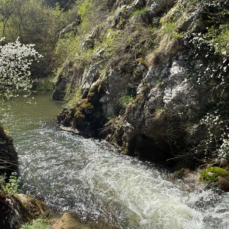
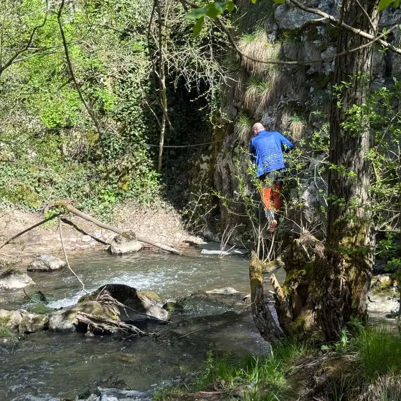
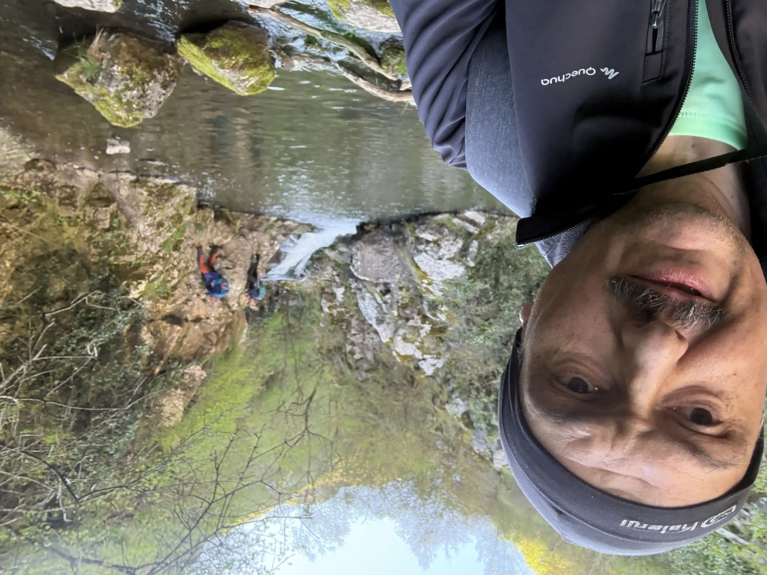
We start from the former Tureni quarry and follow closely the Racilor valley, the stream that dug the Tureni Gorges. We enter the gorge. It must be said that down by the stream, at the base of the cliffs, there is vegetation, even older trees and some thin young ones, as well as flowers. The first via ferrata passage we encounter is also the most difficult because it avoids a small overhang that makes you come out with your center of gravity a little off-center, on your back. This segment can be avoided by crossing the creek twice in makeshift places on the old trail, from the days when there were no facilities in the gorge. The route through the gorge is a wild one. We will pass two small waterfalls in turn, called Cascada Mare and Cascada Evantai. All exposed areas are landscaped with safety chains and toothpicks. From time to time you also have to look for a suitable hand or foot hold that suits you better. The right slope with 2 caves and an arch is more impressive from the water's edge, the left is more hidden. The path leads out of the gorge to a hut, where we find a spring.

one of the many passages on display

can also be continued through water

natural arch

forward to the cottage

the cottage at the exit of the gorge

small flooded cave

ready to go

right flank

2. Hut (430 mdm) - ascent right slope (550 mdm)

distance 2,9 km / duration 1 hour / easy / unmarked

At the hut we took a 30-minute snack break and tasted the spring water captured at the entrance to the courtyard of the hut. We continue in the direction of the river, on the communal road DC 72, which is also the access road to the gorge from Copăceni. The unpaved but busy road meets on the right a wider and grassy place, a little niche. Exactly here we turn right at an acute angle. We have to cross the Racilor valley as best we can as there is no bridge or causeway. The unmarked, but clear path climbs through the forest in a few winding paths, where we have to keep an eye on the map so as not to take the wrong route. The climb ends in an alpine hollow. The A3 highway can be seen ahead, and to the right we approach the lip of the precipice at lookout points. In the second, right next to a signpost, we discover a beautiful view of the gorge, and down at our feet we can see the hut we passed earlier. From here there is a marked path, shorter than the one we came on, which leads down to the hut and then up the opposite slope. I didn't find this path on any of the maps I studied, but I'm thirsty to take note of it.

water spring at the cottage

this is what the road looks like just after the hut

here we must turn right and cross the river

makeshift stream crossing

the forest through which I climbed up the right slope

short route not on the map

3. Parching of the right slope - former quarry Tureni (500 mdm)

distance 1,8 km / duration 30 minutes / easy / blue dot

From here there is a wide view to the left towards Mount Mare, to the lower right towards Cheile Turenilor, forward towards Tureni and the A3 highway. We follow the upper contour of the steep slope of the chielor. We enter the village of Tureni, cross the Racilor stream and close the first loop in the Tureni Quarry.

the chalet from the lookout point

this is how the keys look from above

the plateau on the right slope

Tureni village, overlooking the highway

4. Fosta quarry Tureni (500 mdm) - left slope (570 mdm) - Pârlii Crack (550 mdm) - Racilor Valley, Turenilor Gorges (450 mdm)

distance 2.0 km / duration 45 minutes / easy / blue dot

The ascent on the left slope of the gorge starts from a curve in the village of Tureni, it is slow, you don't even realize how easy you are on the green and almost flat imaș from the top, on the left slope. On this slope, below us, so we can't see them, are the Fairy Cave and the Horn Cave. The end of the plateau is called the Pârlii Crack. From here we start the descent following the marker that we can't find on all the maps, but the important thing is that we find it on the ground. We pass under the left Geamănul Langer, a limestone formation with climbing initiation routes. At a branching we can, tackle the right-hand option, which is shorter and marked and quickly takes us out into the Racilor Valley without passing the hut.

Tureni village and zoom on Mount Mare

let's go another lap!

Turenilor Gorges seen from above

from here the descent begins

we're going back down the quays

5. Racilor Valley (450 mdm) - Turenilor Gorges - fosta quarry Tureni (500 mdm)

distance 1,6 km / duration 1 hour / hard / blue triangle and rare blue dot

This last section is identical to the one described in point 1. The adrenaline is again pumping as you cross the exposed areas. Maybe for some this experience is not difficult, but I think it is important that not just anyone, inexperienced, ventures out, and it must be said that you need some care with the holds you choose, and strength in your hands and safety in your feet. And courage!

Crayfish brook

the wildness of the Turenilor Gorges

the most difficult passage

former stone quarry

the daredevils of the second lap

Conclusion

Turenilor Gorges or Tour of the Tour are a spectacular route easy for via ferrata or hard for a regular hike. I hiked this route when there were no chain and toothpick facilities and it was very very challenging. Now it remains just challenging and spectacular. Come prepared and equipped in the Turen Gorges to enjoy a great trail!

All the best!

Steps:

en_USEnglish