The Someșul Cald Trail, Gilău Mountains

Rusești (CJ, 620 m) – Someșul Cald Valley – Dâlboaca (720 m) – Colții Șoimului (1,030 m) – Dâmbul Lung (1,060 m) – Rusești (CJ, 620 m)

Access

Cars can be parked for free on the road along the banks of the Someșul Cald River, near Denny’s Cabin. The location, situated 50 kilometers from Cluj-Napoca, is accessible by car in about 1 hour and 15 minutes via DN1 and DJ107P. The last kilometer is unpaved but passable with any type of vehicle.

About the Gilău Mountains, about the trail

The Gilău Mountains, part of the Apuseni Mountains, stretch across the western part of Cluj County and are notable for their vast forests, reservoirs, and spectacular mountain trails. The highest peak is Big Mountain Peak, at an elevation of 1,826 m, located on the southern edge of the Gilău–Muntele Mare mountain range. The area is ideal for hiking, mountain biking, and exploring unspoiled natural landscapes, and The Someșul Cald Circuit It is one of the most beautiful trails for discovering the beauty of these mountains.

Route map

(click on objectives for extended version)

Technical box

Difficulty: medium
Duration / Distance: 5–6 hours / 12 km
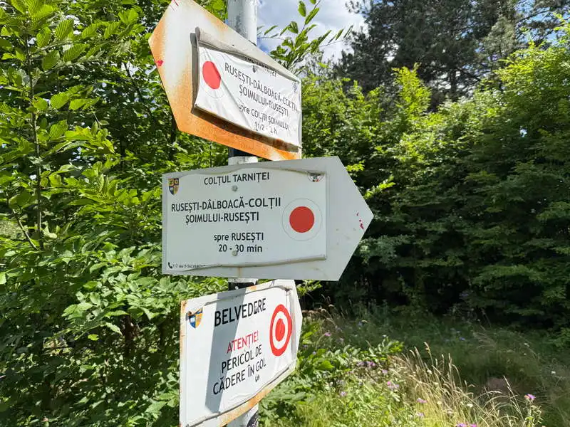
Marking: red dot / red dot with a double circle for branches leading to lookout points
Water sources: along the Someșul Cald Valley, on the way up to the plateau
Minimum elevation: 620 meters, at point 19 on the map, at Denny Cabin
Maximum elevation: 1,060 meters, at point 13 on the map, near the sign for Dâmbul Lung
Level difference: +500 m / -500 m

Notes: A loop trail that passes through 6 scenic overlooks; accessible year-round

1. The Someșul Cald Valley

Distance: 4.2 km / Duration: 1.5 hours / Difficulty: moderate / Red marker

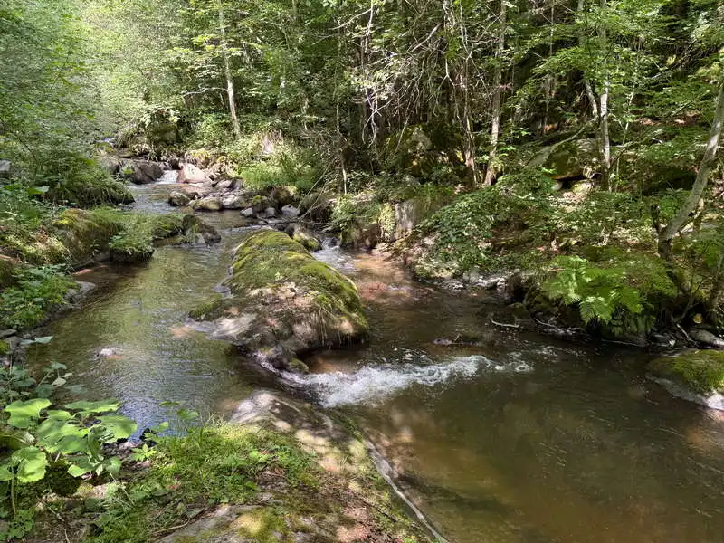
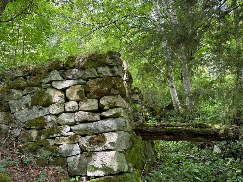
The first few kilometers follow the Someșul Cald upstream along the unpaved road we came on, passing a few houses and raspberry bushes. Then we keep heading along a nice trail, which at one point crosses to the left bank of the river and sometimes climbs slightly above the riverbed. A few sections of the trail are equipped with safety cables, although they pose no real danger. In the clearing at point 3, there is an intersection with a signpost. We continue straight ahead for another 2 minutes to the ruins of a mill and immediately turn back to the same intersection (point 5).
I started 6

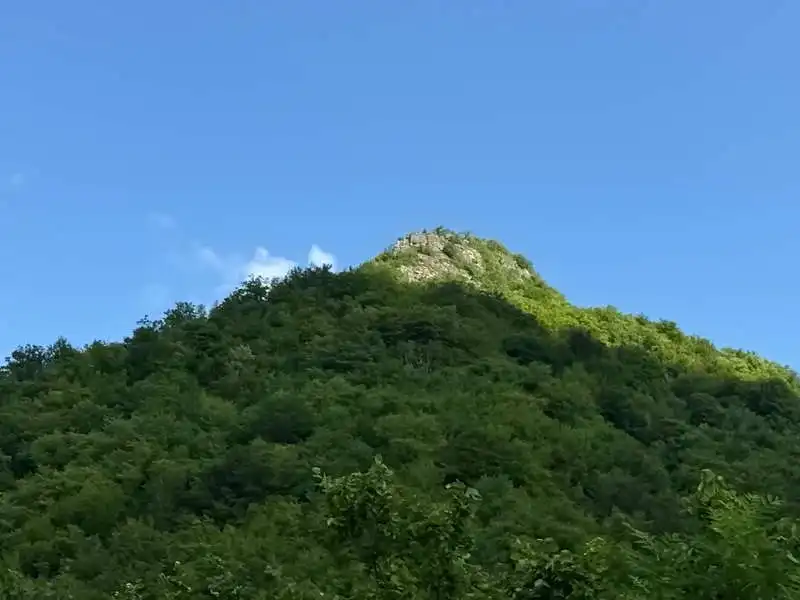
we'll end up there

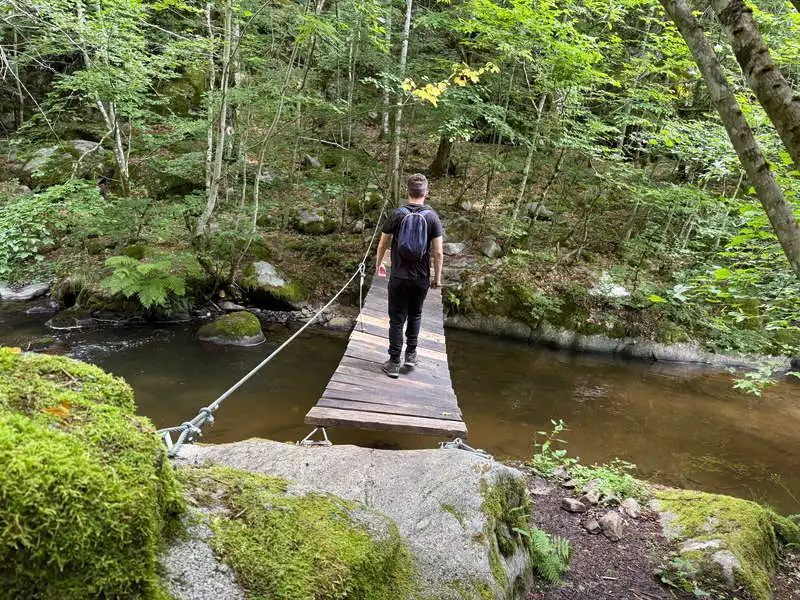
bridge over the Someșul Cald River

The Someșul Cald River

The left bank is rockier

an area equipped with a safety cable

The trail is higher up here than the river ford

We walk through a clearing filled with aromatic plants

the ruins of the mill

the mill's machinery overgrown with vegetation

2. The Ascent

Distance: 2.7 km / Duration: 1.5–2 hours / Difficulty: moderate / Red marker; unmarked between markers 6 and 7

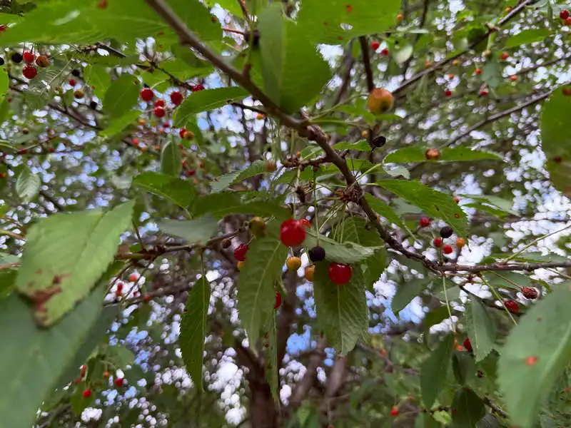
Right next to the sign at point 5, we pick a few wild apples. We begin the climb through the young, dense forest. In the first clearing, near a house, there’s something I’ve never seen before on mountain trails: a cherry tree bearing sour cherries. Another welcome break. The forest thins out and opens up at point 6, where we didn’t notice where the marked trail was hiding and found ourselves in front of the gate to a private property. Following the marker on the map—though it was missing on the ground—we crossed the yard, then wandered around for a few minutes before finding the trail again at point 7. Several blueberry patches convinced us to take a few more short breaks. We’re already at the summit and reach point 8, the first viewpoint, where we take a break to have a snack and admire the view.

toward the mill or toward the summit

We climb through the dense forest

I picked and ate sour cherries

The road shown on the map runs through the property

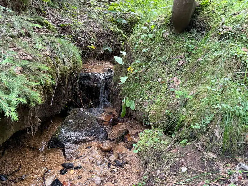
the last water source along the route

Enjoy the blueberries!

This is where we stopped for a snack

3. Mountain Peaks and Viewpoints

Distance: 3.9 km / Duration: 1.5–2 hours / Easy / Red marker

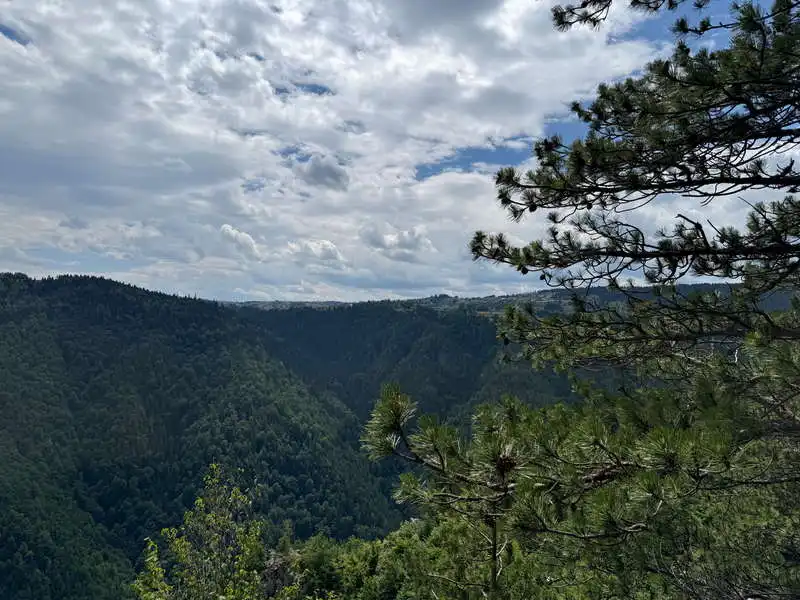
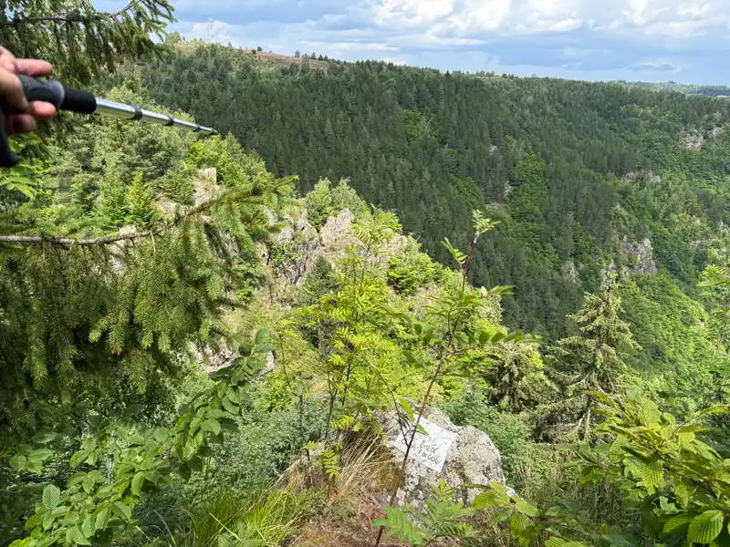
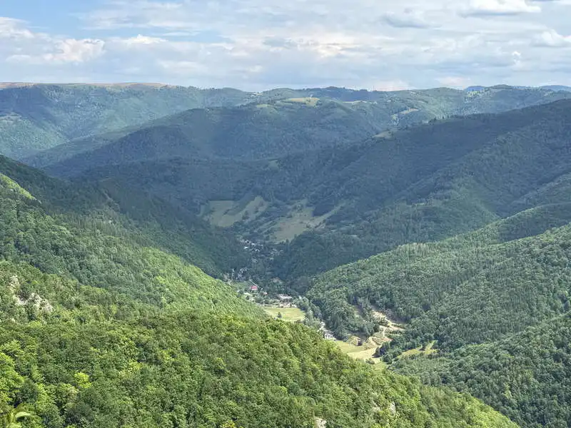
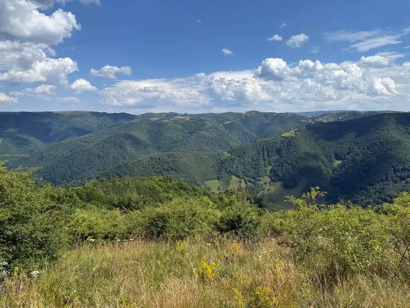
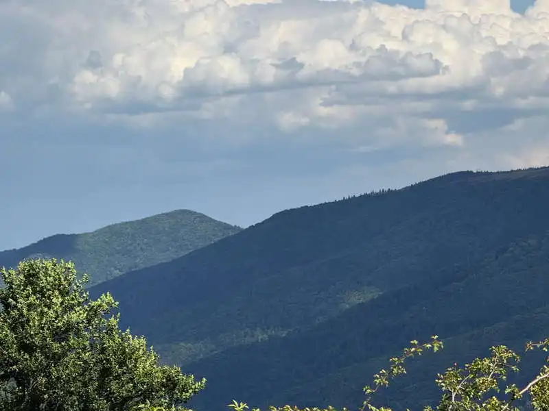
With renewed energy, we begin our hike along the ridge of this hill—it’s hard to call it a mountain. The trail passes through five other lookout points. The next one is called Colții Șoimului, viewpoint 9. The view always looks out toward the Someșul Cald Valley—sometimes toward the hamlet of Rusești, other times toward the village of Mărișel. And toward the peak across the way, Capul Coastei. More blueberries smile at us before we pick them. Where we turn right is the spot called Dâmbul Lung, point 14, marked with a sign. The last viewpoint is marked on the map as 16.

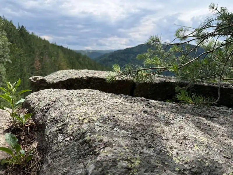
First Lookout Point

contrasts

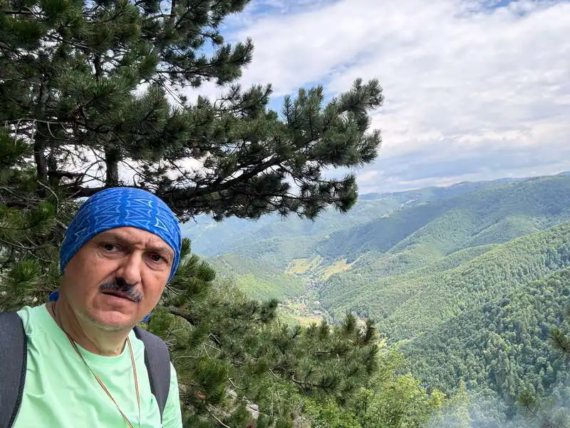
I'm on the Someșul Cald circuit

another lookout point

The Someșul Cald Valley and the hamlet of Rusești

the group admires

relay

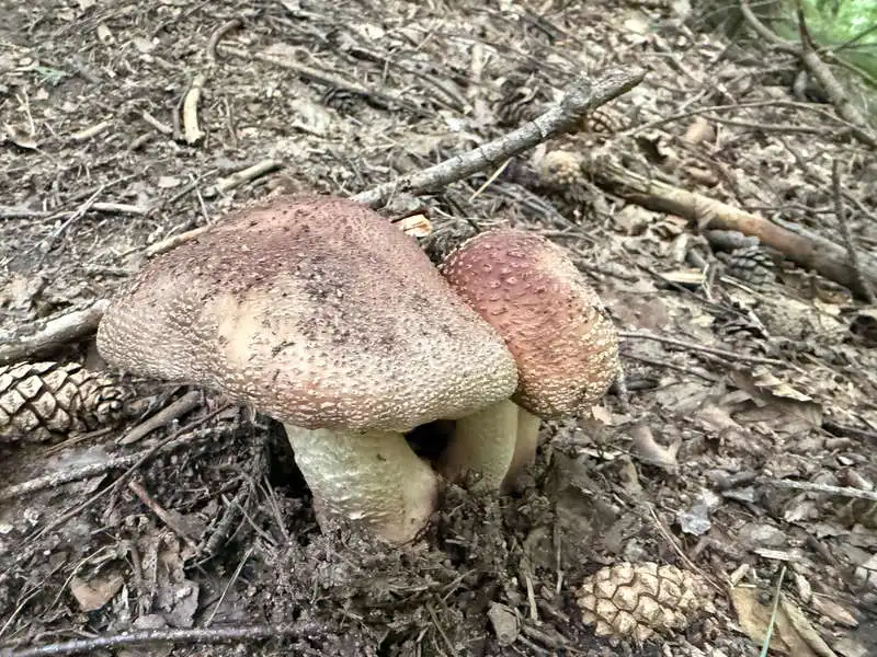
a few of the many mushrooms we came across

at the boundary between the alpine meadow and the forest

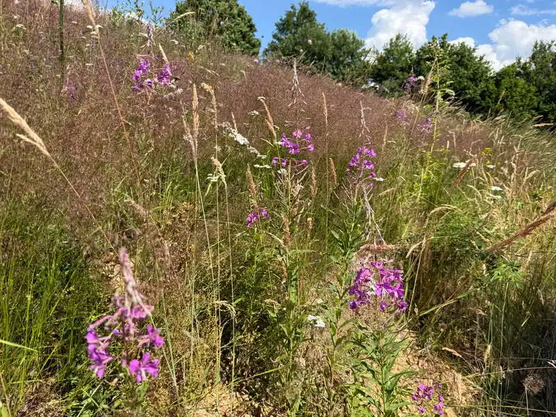
flower meadow

It can be seen from far away

how beautiful!

4. Going down

distance 1.3 km / duration 30 minutes / moderate / red marker

The descent through the forest, which is a bit steeper in places, takes us behind Denny Cabin. We cross the Someșul Cald River on a bridge right at the starting point—and the finish line.

the last panorama

I went that way

toward the last lookout point

We're back 8

Conclusion

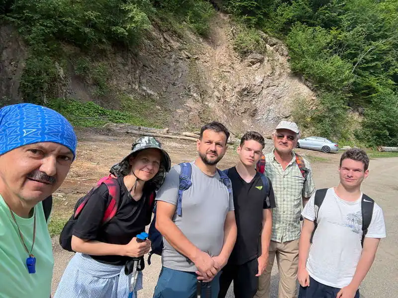
The Someșul Cald Circuit Starting in Rusești, in the Gilău Mountains, this is a relatively new trail that has recently appeared on maps; it is well-marked (except in the valley, where you must bypass the private property between points 6 and 7). A trail with wild strawberries, raspberries, wild apples, sour cherries, blueberries, and mushrooms—and especially with six beautiful lookout points. A truly wonderful hike, where six of us set out and eight of us returned.

All the best!

Steps:

en_USEnglish