Fetei Fortress & Monument 1940, the Cluj Hills

Floresti (Tăuțiului) (410 m) – Fetei Fortress (550 m) – 1940 Monument (580 m) – Florești (Tăuțiului) (410 m)

Access

The starting point for this route is near the building located at 252 Tăuțiului Street, Florești, Cluj County. The route ends at the same point. It is 14 km from the center of Cluj-Napoca, a 30-minute drive via DN1.


About hiking

This is more of a leisurely stroll, organized one afternoon after a typical workday. The route is an easy one through the hills southwest of Cluj-Napoca, near the Cetatea Fetei neighborhood in Florești and the village of Tăuți.

Route map

(click on objectives for extended version)

Technical box

Difficulty: easy
Duration / distance: 3 hours, including breaks / 9 km
Markings: red tape in some places, mostly unmarked
Water sources: none; possibly at people's homes
Minimum elevation: 400 meters above sea level, in the Cetatea Fetei neighborhood, at point 8 on the map
Maximum elevation: 580 meters above sea level, at Monument 1940, at point 10 on the map
Level difference: about +400 m / -400 m

Notes: A very easy trail with scenic overlooks, accessible year-round

1. Florești (Tăuțiului) (410 meters above sea level) – Cetatea Fetei (550 meters above sea level)

20–30 minutes / 1 km / easy / red lane

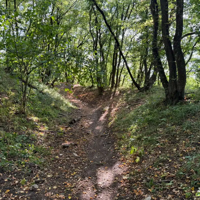
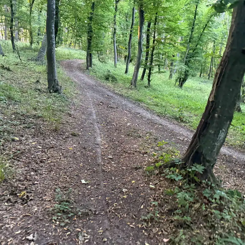
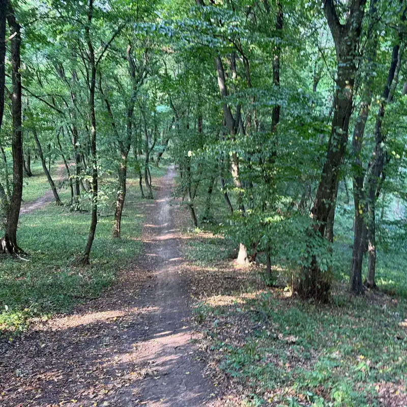
From Tăuțiului Street in Florești, at the starting point marked on the map, a marked trail leads through the forest toward Cetatea Fetei. The trail is well-defined; it climbs in two steeper sections—immediately after the start and again just before Cetatea Fetei. Otherwise, the route is very easy.

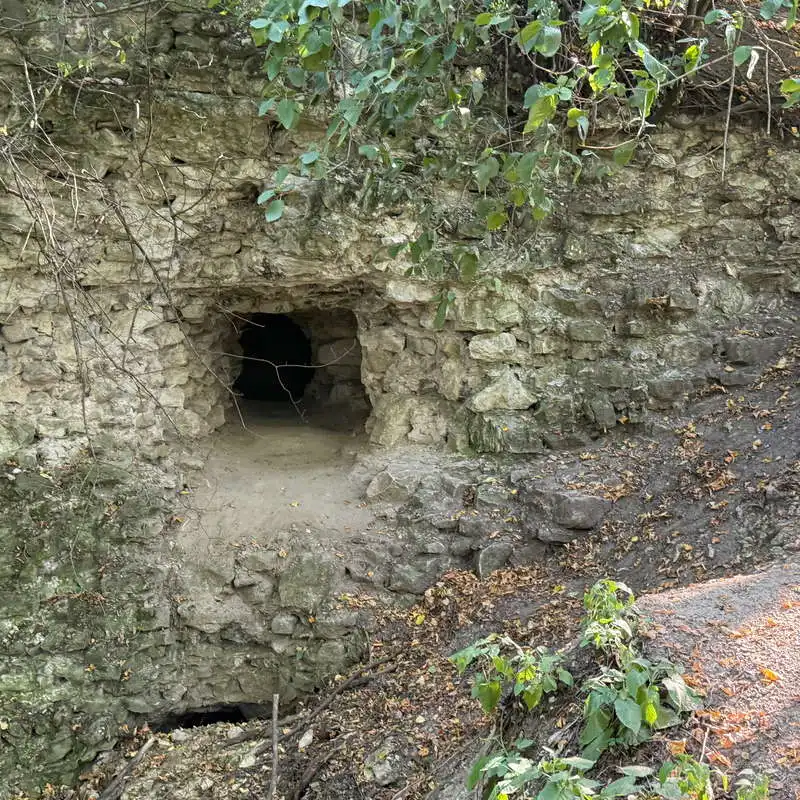
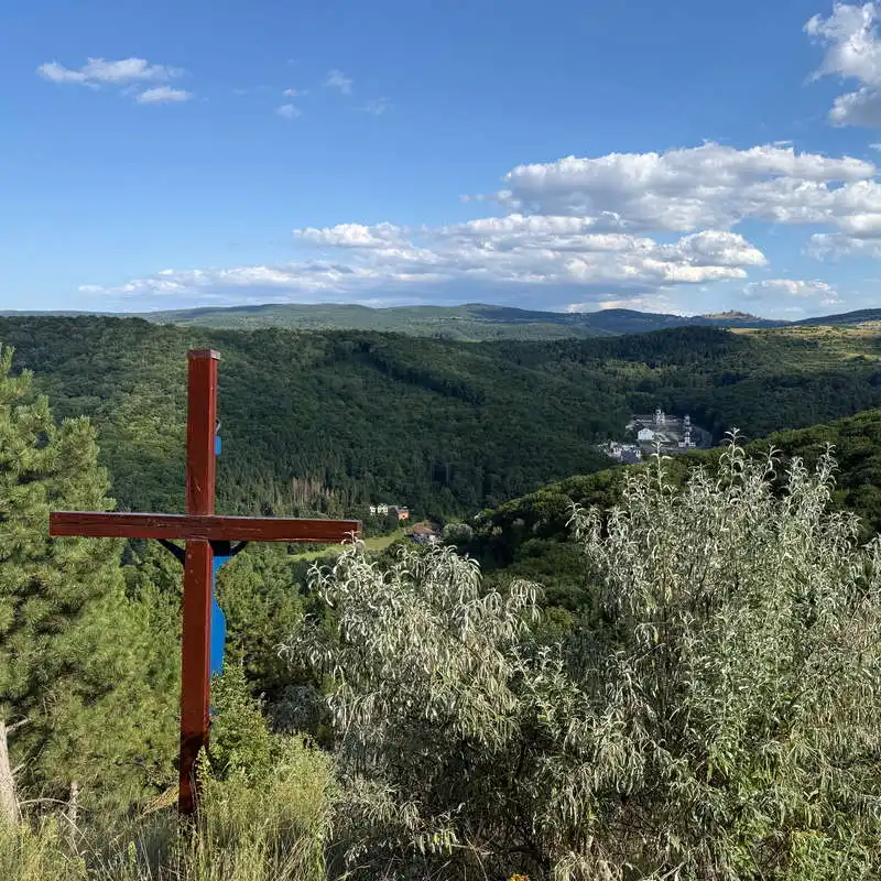
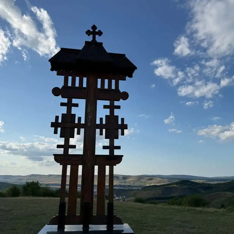
The Girl's Fortress (Point 3) is a former medieval fortification located near Cluj, in the Cluj Hills. Although only traces of the fortress remain today, the site is prized for its historical significance, local legends, and spectacular panoramic view of the surrounding area. From the cross at the viewpoint behind the fortress (point 4), there is a beautiful view of Tăuți.
from here the route starts

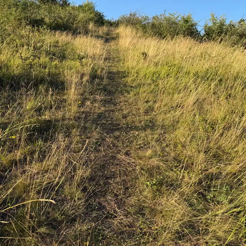
a gentle climb toward Fetei Fortress

The Girl's Fortress

the cross at the lookout point at Fetei Fortress

2. Fetei Fortress (550 m above sea level) – Monument 1940 (580 m above sea level)

1 hour and 15 minutes / 4 km / easy / unmarked

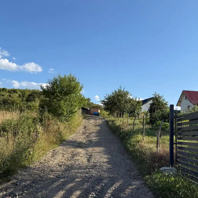
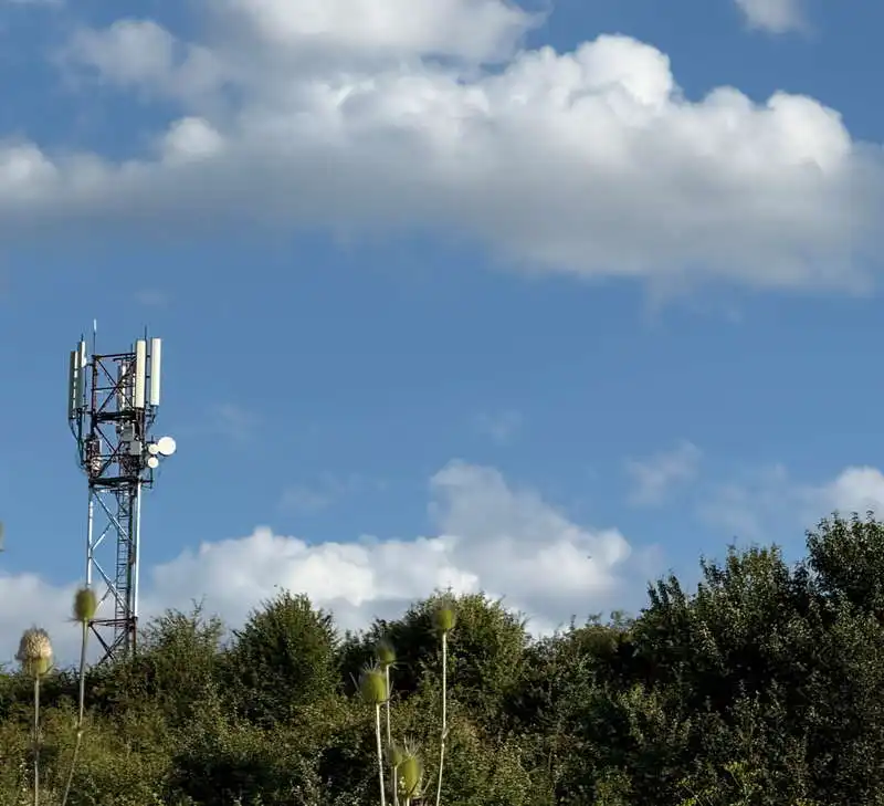
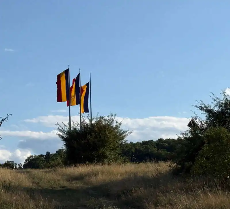
We circle around the fortress exactly as shown on the map and find ourselves on a well-defined trail. At the beginning, there’s even a cable that provides safety on a short, steep descent over slippery ground. The trail turns into a forest road and leads to the outermost houses in the Cetatea Fetei neighborhood of Florești. We descend to a sharp intersection (point 8) on Stejarului Street. We’ll then follow the road connecting Florești and Tăuți, over the hill, along Hagau Street, which is partially paved. From point 9, we climb an unpaved street past a cell tower to the meadow near the flags, where the 1940 Monument is located. From here, we can admire the town of Florești. A well-deserved break.

the descent from Fetei Fortress

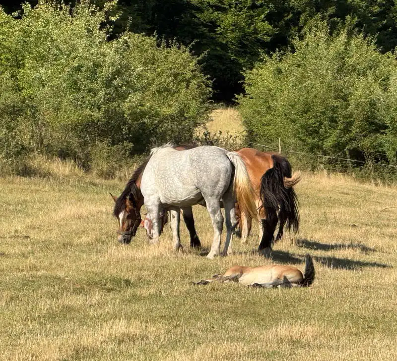
Ana's Horses

We'll head up this way toward the monument

radio tower

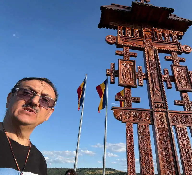
the flags next to the monument

1940 Monument

3. 1940 Monument (580 m above sea level) – Florești (Tăuțiului) (410 meters above sea level)

1 hour – 1 hour and 15 minutes / 3.5 km / easy / mostly unmarked, with occasional red markings after Dealu Crucei

The 1940 Monument It is a memorial located on the hill near the village of Tăuți, commemorating the dramatic events of 1940, when, following the Vienna Dictate, northern Transylvania was ceded to Hungary.

We return to Hagau Street, which we follow for a very short distance and then cross at point 11 to climb an unmarked trail up Dealu Crucei, from where we can see the village of Tăuți. We then follow the ridge of the hill, enter the forest, pass by Spoială Hill, go beneath Cetatea Fetei, and further down, we intersect the trail we ascended at point 14. We immediately reach the main road, where our pleasant walk comes to an end.

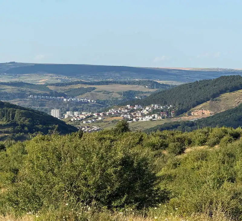
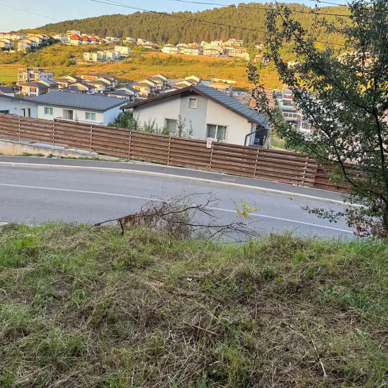
View from the Monument toward Florești

We're hiking from Tăuți up to Dealu Crucei

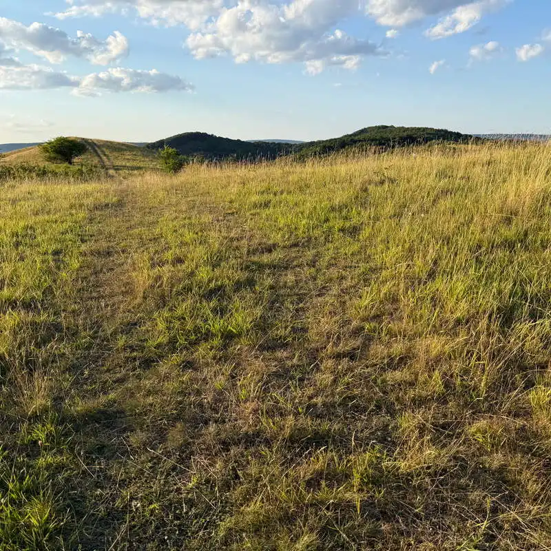
the meadow on Dealu Crucei

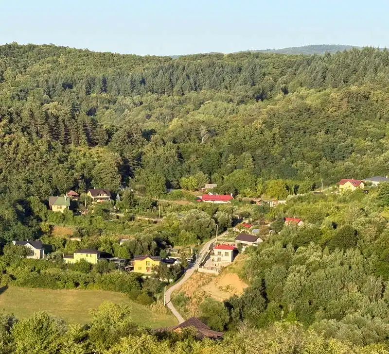
View of Tăuți from Dealu Crucei

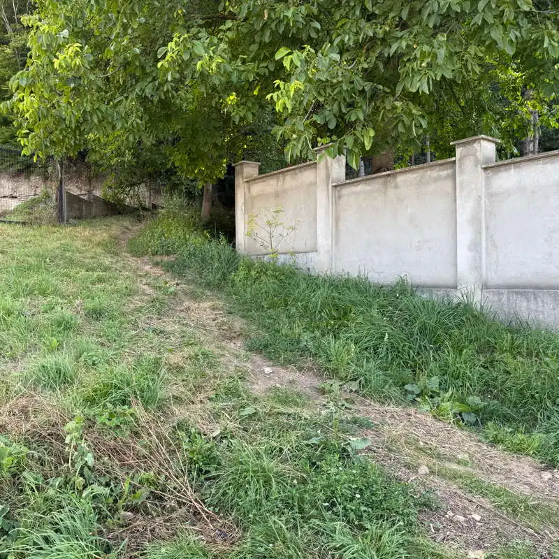
This is where the return trail meets the outbound trail

I returned to Florești on Tăuțiului Street

Conclusion

The trail to Cetatea Fetei and the 1940 Monument combines nature, history, and spectacular views in an accessible hike near Cluj-Napoca. Whether you’re looking for a relaxing stroll or a getaway lasting a few hours, this route offers the chance to discover two landmarks with unique stories and to admire the beauty of the Cluj Hills.

All the best!

Steps:

en_USEnglish