Păgânilor Fortress, Harghita Mountains

Racu (1,000 m) – Cetatea Păgânilor (1,260 m) – Harghita Mădăraș Resort (1,620 m)

Access

We set out from the village of Racu, Harghita County, which is about a 12-km drive from Miercurea Ciuc—a trip that takes about 15 minutes via National Road 12. The hiking trail begins in the northwest part of the village, near the Vándor Székely Guesthouse, and the first 7 km can be traveled by high-clearance vehicles or—with great caution—on a forest road through the Olt River floodplain.

About the Harghita Mountains

The Harghita Mountains They are part of the Călimani–Gurghiu–Harghita volcanic chain and are the youngest volcanic mountains in Romania. Located in the central part of the Eastern Carpathians, the massif stretches for approximately 70 km and is characterized by gentle peaks, vast spruce and beech forests, volcanic plateaus, and numerous spectacular geological formations, resulting from volcanic activity that took place millions of years ago. The highest point of the massif is Harghita Mădăraș Peak (1,801 m), a destination appreciated by both hikers and lovers of mountain panoramas. On clear days, from the ridge you can admire the Ciuc Basin, the Gurghiu Mountains, and vast areas of the Transylvanian Plateau.

The Harghita Mountains are remarkable for the diversity of their natural landscapes. The dense forests are home to a rich variety of wildlife, including brown bears, Carpathian red deer, roe deer, and numerous bird species, while the alpine meadows and oligotrophic marshes provide habitats for rare and protected plants. The area is also renowned for its natural mineral springs, mofettes, and the spa resorts developed around them—features that reflect the massif’s volcanic origin.

In addition to their natural attractions, the Harghita Mountains are home to numerous historical sites and local legends. Medieval fortifications, earthen fortresses, ancient trade routes, and places steeped in tradition make this region an ideal destination for those who wish to combine hiking with exploring Transylvania’s cultural heritage. Set within this spectacular landscape is the Păgânilor Fortress, one of the most fascinating historical sites in the Harghita Mountains, where nature and history complement each other in a unique way.

About hiking

Route Racu – The Fortress of the Pagans – Harghita Mădăraș Resort This is a moderate-difficulty hike that combines the exploration of an important historical site with the spectacular scenery of the Harghita Mountains. The trail winds through vast forests and ridge areas, offering beautiful views of the surrounding landscape. It is recommended that you bring appropriate hiking gear, plenty of water, and check the weather forecast before setting out, as the weather can change quickly at high altitudes.

Route map

(click on objectives for extended version)

Technical box

Difficulty: medium
Duration / distance: 4–4.5 hours, including breaks / 10 km, measured from point 1 on the map, located 7 km from Racu
Marking: blue cross, blue dot, blue cross, red dot, unmarked
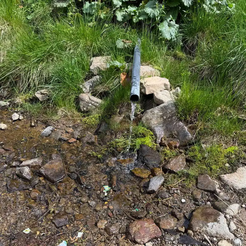
Water sources: at point 4 on the map, a tapped spring
Minimum altitude: 1,050 meters above sea level, at the start
Maximum elevation: 1,650 meters above sea level, at point 8 on the map
Elevation difference: approximately +600 m / -0 m

Notes: A large bear population in the forested area, which is rarely traveled through between points 1–5 on the map; accessible year-round

1. Racu (1,000 m) – Cetatea Păgânilor (1,260 m)

45–60 minutes / 1.9 km / moderate / blue cross, blue dot

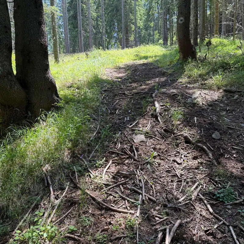
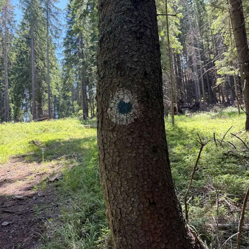
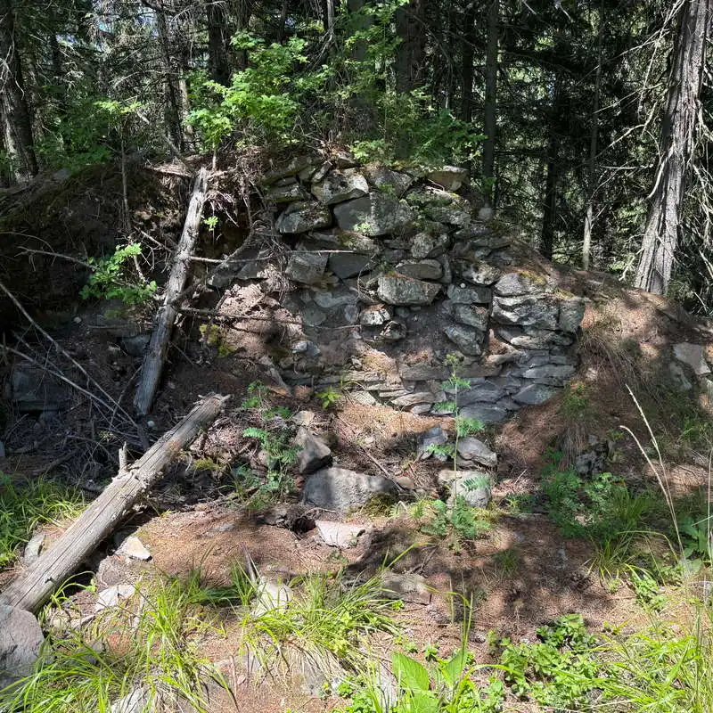
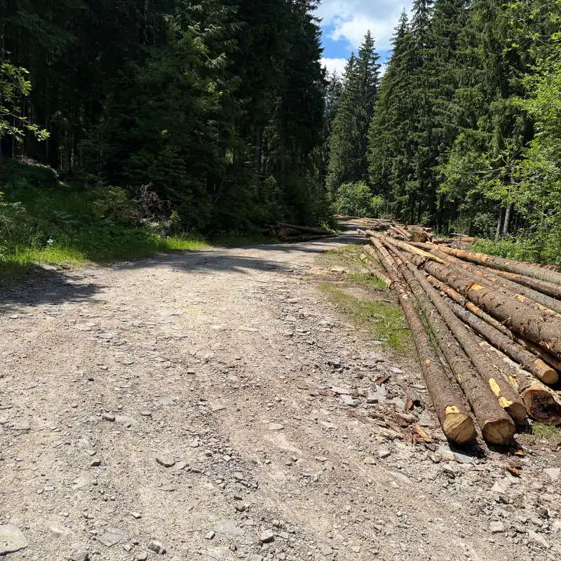
We drove the first 7 km to the edge of the forest. There, we came across several signs for bike trails. The trail marked with a blue cross must be followed carefully at the beginning because of several forks. It climbs slowly and steadily through the forest, frequently blocked by fallen tree trunks. This is the area most likely to encounter a bear. The Pagans’ Fortress, or Pogany, is located at a partially wooded lookout point to the left of the main trail. The short detour to the Pagans’ Fortress is marked with a blue dot. The fork is not easily noticeable. The fortress is in ruins and consists of only a few small stone walls overgrown with vegetation. Nearby is a viewpoint overlooking the Harghita Mountains in the direction of the Harghita Băi resort.

Let's hit the road!

turn-off toward the Fortress of the Pagans

We're going up to the lookout point

The Fortress of the Pagans

2. Păgânilor Fortress (1,260 m) – intersection at point 5 (1,600 m)

2–2.5 hours / 5.4 km / moderate / blue dot, blue cross

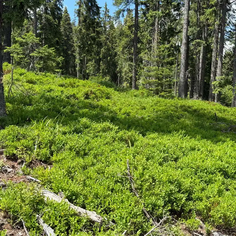
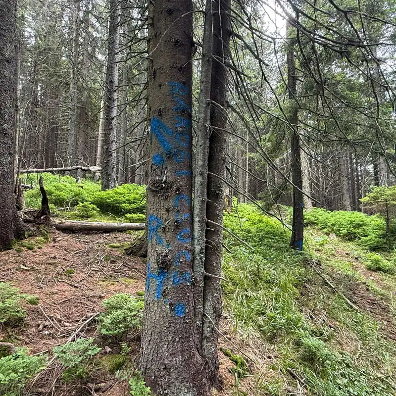
We return to the blue marker and then take a shortcut to the main trail marked with a blue cross. We resume the generally slow but long climb. We come out onto a forest road. We pass through dense blueberry thickets. Before reaching the ridge, there’s a fork to the left—marked in blue on a tree—that leads to the summit of Harghita Racu or Racoșului, which we won’t take. The ridge ahead is increasingly barren and nearly flat. We take another break at a spring with cold water. A short distance away, we reach the trail junction marked with a 5 on the map. Here is a designated rest area with benches. The view opens up toward Harghita Ciceu Peak.

The Fortress of the Pagans

I turned onto a forest road

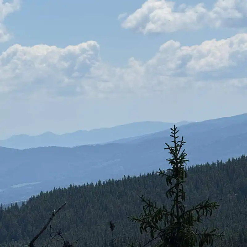
view of the Harghita Mountains

blueberry

Following these signs, you can climb to Harghita Racu Peak

a spring with very cold water

3. Intersection at point 5 (1,600 m) – lookout point (1,610 m) – Harghita Mădăraș Resort (1,620 m)

45–60 minutes / 2.6 km / easy / red marker, unmarked

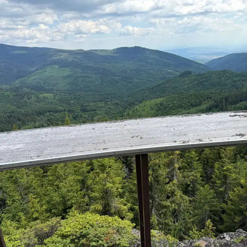
From here to the Harghita Mădăraș Resort, the standard trail marker is a blue stripe accompanied by a red dot. We’ll only follow this trail partially because we’ll veer left down a gentle slope onto a hard-to-spot, unmarked, and unsignposted path through juniper bushes. This leads us to a cliff top at a lookout point with a panoramic view of the Vârghiș Valley. We return to the marked trail, but will soon leave it to the right to finish the route near the Salvamont station, on the edge of the Harghita Mădăraș Resort, which was, however, abandoned.

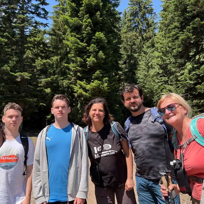
We're from Racu

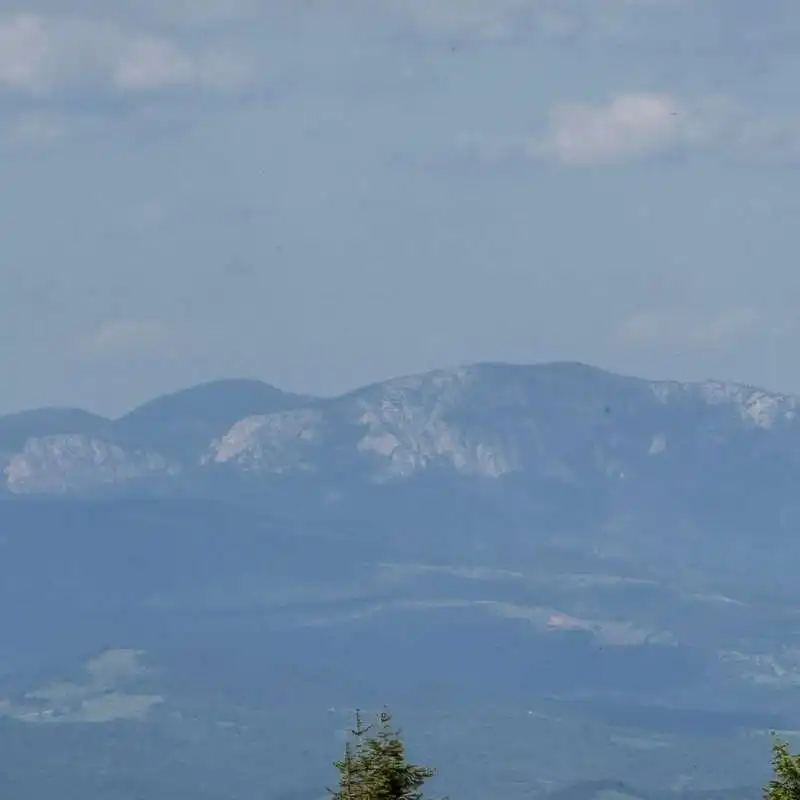
The Hășmașul Mare Massif

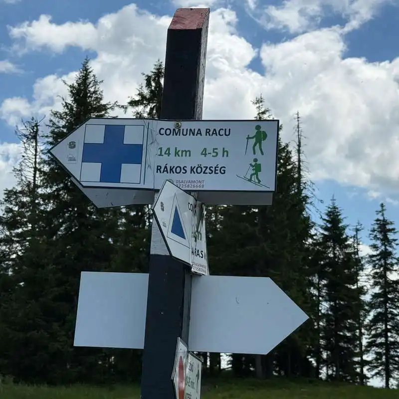
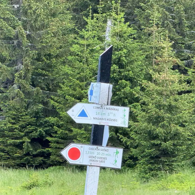
the traffic signs at the intersection

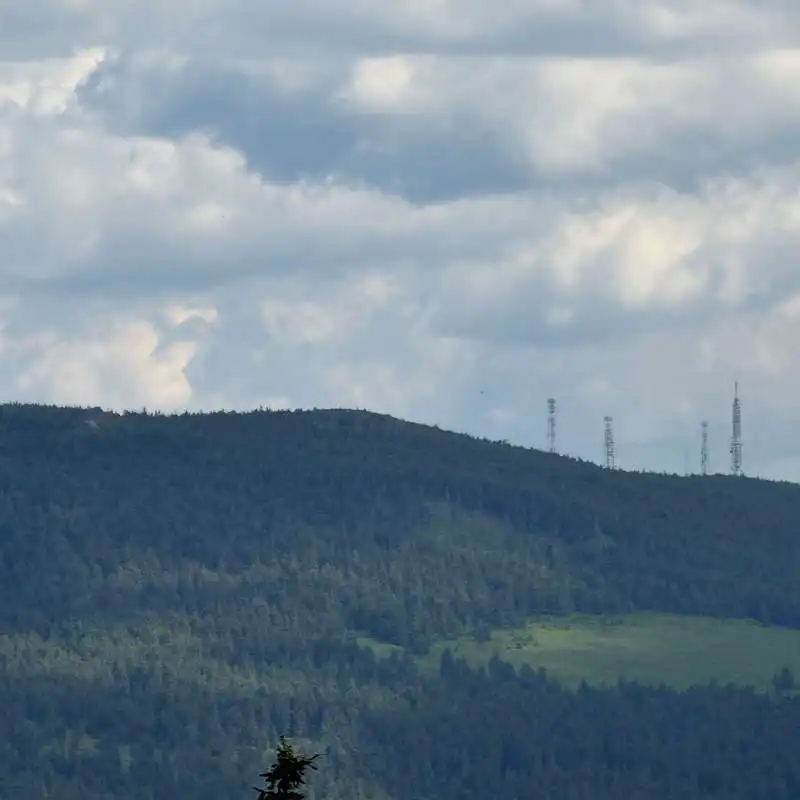
the antennas in Harghita Ciceu

view of the Vârghiș Valley

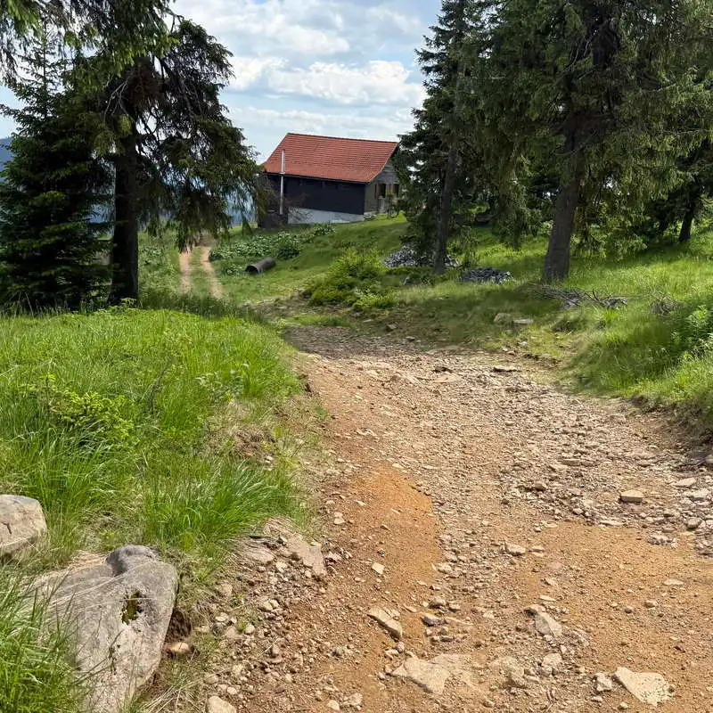
We're entering Harghita Mădăraș

Conclusion

Route Racu – The Fortress of the Pagans – Harghita Mădăraș Resort It’s an excellent choice for those who want to discover both the beauty of the Harghita Mountains and some of the area’s history and legends. Whether you set out to enjoy the mountain scenery, explore the ruins of the fortress, or simply soak in the tranquility of the forests, this hike offers an authentic and memorable experience in the heart of the Eastern Carpathians.

All the best!

Steps:

en_USEnglish