St. John's Spring Circuit, Cluj Hills

Cluj-Napoca, Mănăștur Neighborhood (400 m) - Gâlcer Peak (503 m) - branch (572 m) - Ascuns Spring - St. John Spring (440 m) - Popii Stream (540 m) - Gârbăului Valley (400 m)

Access

This route is a circuit on the hills located southwest of Cluj-Napoca. The actual entrance to the route is made from the Mănăștur neighborhood on Clăbucet Alley, near the Unirea sports center. The exit from the marked trail is on Valea Gârbăului Street near the Restaurant Roata on the St. John Road (DJ107R). 1.7 km can be covered by road between the entry and exit points.

About hiking

This is an easy route, which I have run as part of my daily fast-paced training. But the times you mention are normal walking times.

Route map

(click on objectives for extended version)

Technical box

Difficulty: easy
Duration / distance: 2,5 hours / 8 km
Marking: red stripe / unmarked / red triangle / blue cross
Water sources: Hidden Spring and St. John's Spring (points 6 and 8 on the map)
Minimum altitude: 400 meters, on arrival
Maximum altitude: 572 meters, at the branch, point 5 on the map
Level difference: +300 m / -300 m

Remarks: easy and pleasant trail for walking and/or mountain running, almost exclusively clear in the forest, with a viewpoint at „La Nuci” (point 4); accessible all year round

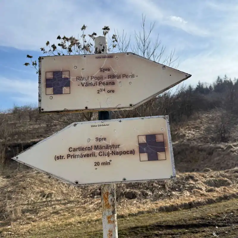
1. Cluj-Napoca, Mănăștur Neighborhood (400 m) - Gâlcer Peak (503 m) - „La Nuci” (500 m) - branch (572 m)

distance 2.7 km / duration 1 hour / easy / red lane

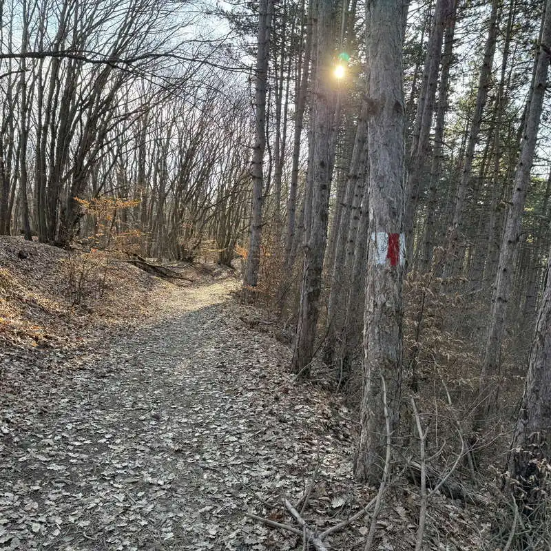
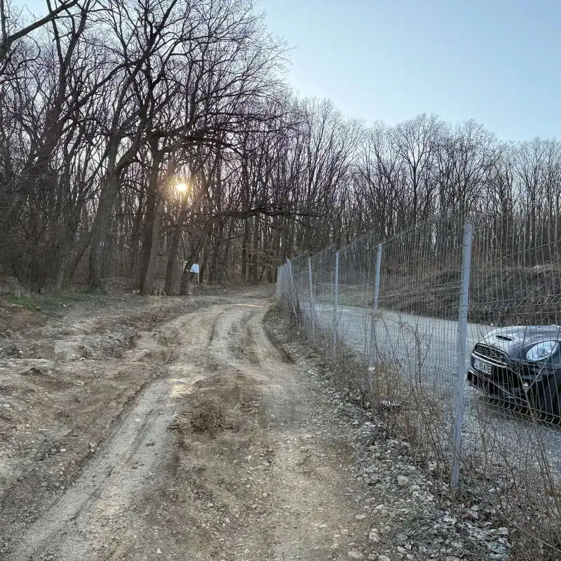
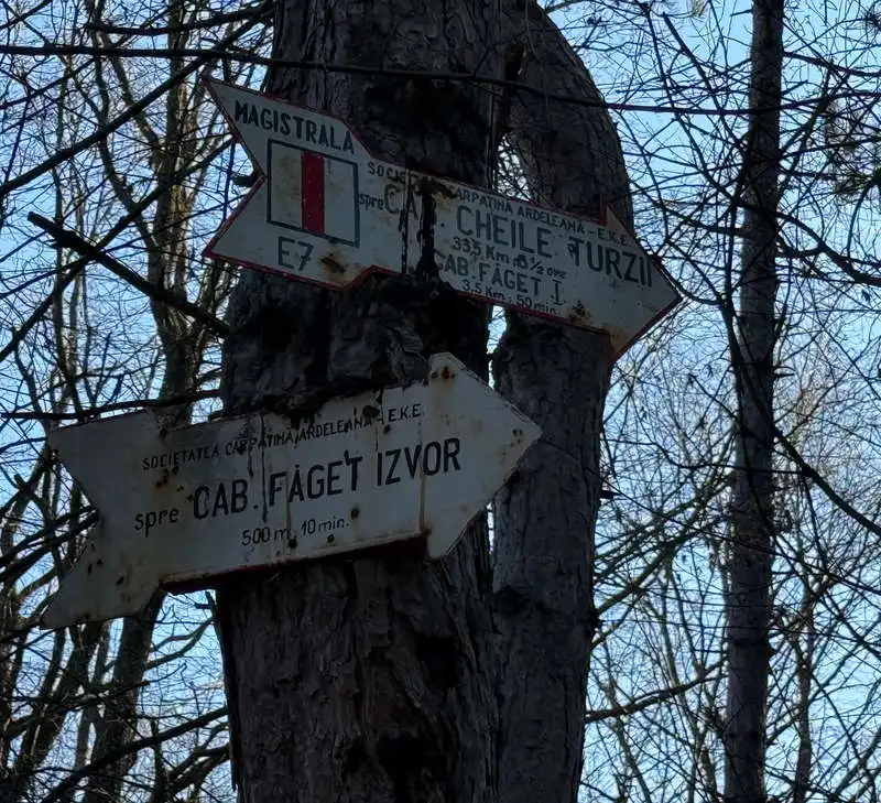
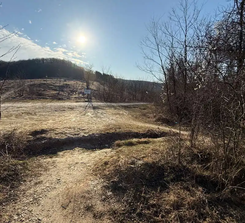
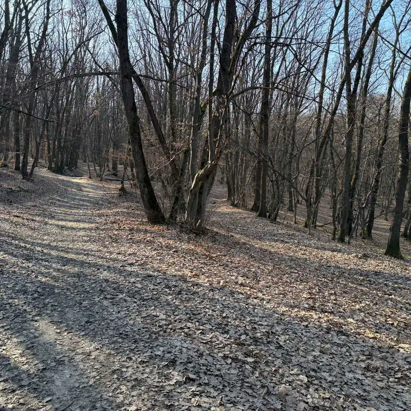
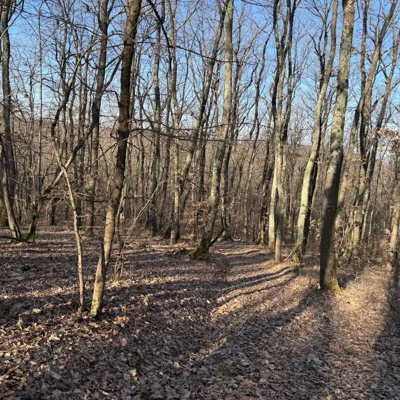
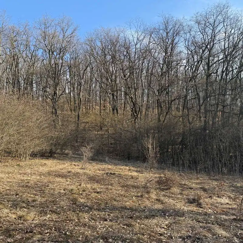
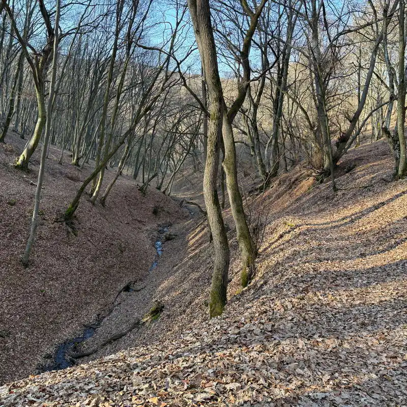
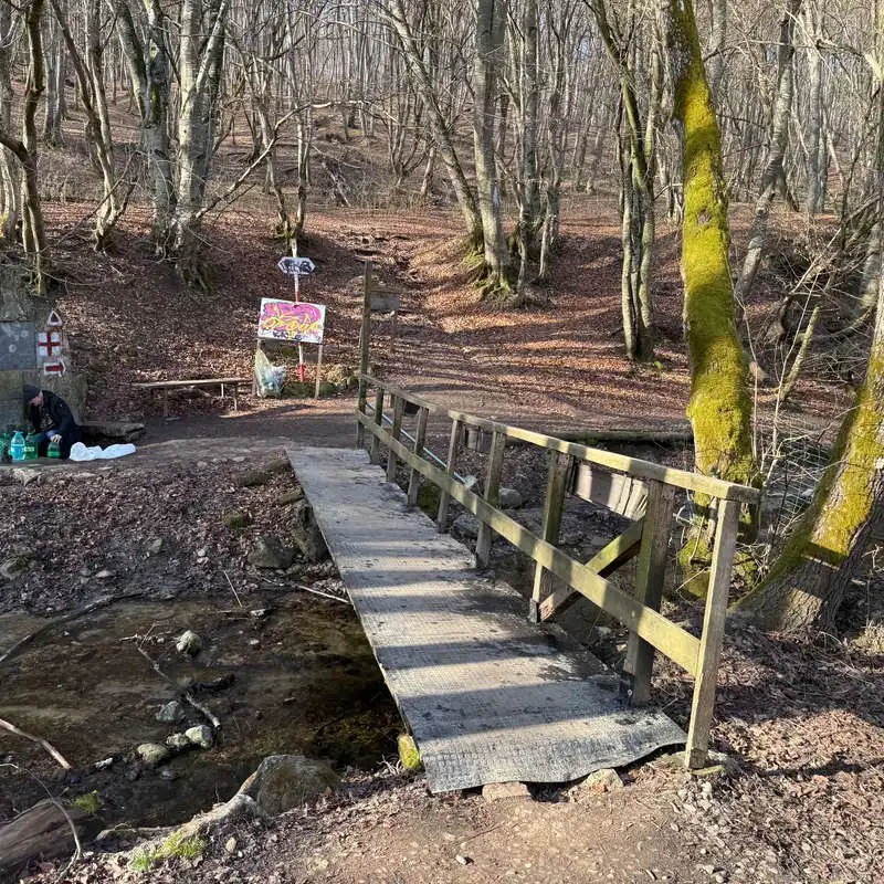
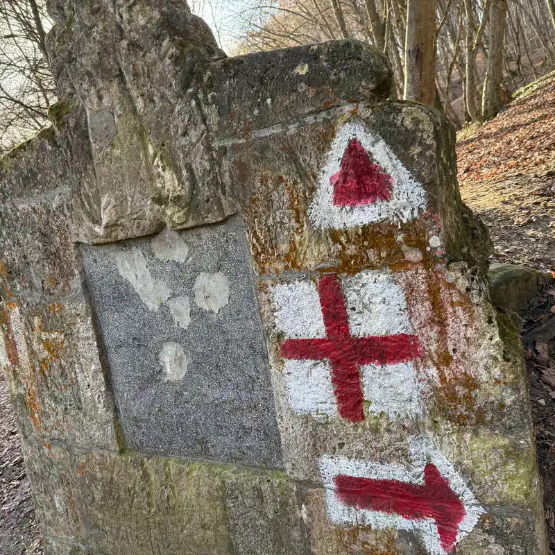
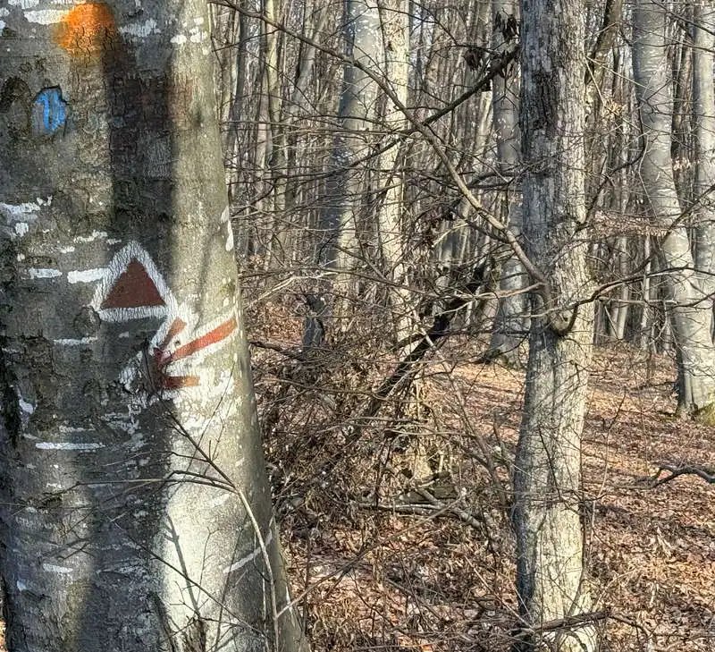
Next to a board with trails, we immediately start to climb past the Unirea sports base in the Maștur neighborhood on the red lane. The shade of the trees in the Mănăștur-Gâlcer Forest makes our ascent easier. We take the crest of the hill which we follow to the right. We pass the intersection with the path to the Făget Izvor hut (point 2), pass the Gâlcer peak (point 3), which is not marked with a signpost, and come out into a hollow called „La Nuci” or Diós, where the Cernăuți street and the Gălbiori alley meet, which continues with the road called The kick. From „La Nuci” (point 4) the view opens towards the peaks of Sinitău and Gârbăului Hill, which we will pass through later. We continue in the same direction, on The Kick, up to an unmarked branch, which is also the highest point of our walk (point 5).

we're going on the red

from here the route starts

branching paths

La Nuci (God)

sector the Kick

2. Ramification (572 m) - Hidden Spring - St. John's Spring (440 m)

distance 1,6 km / duration 30 minutes / easy / unmarked

We follow the map carefully so as not to miss the branch where the unmarked path begins. The path is initially as wide as a forest road. Orientation with the map is absolutely necessary on this section which has several changes of direction. A narrower path joins another forest road, which we continue on to the left until we reach a clearing. Here we turn right downhill on a more difficult to see path, which comes out into a new clearing, which we cross on the downhill side and leads us to the high bank of a stream where the Hidden Spring (point 6) is located. The right bank of the stream leads us to the Saint John's Road, next to a parking lot. We walk a little to the left along the paved and fairly busy road. A path by a wooden fence takes us over a bridge over the valley of the Pleșca Creek to a very well known landscaped spring in the area. It is the St. John's Spring (point 8), where many locals get their fresh water.

from here we depart from the beaten path

we go down unmarked through the woods

a landing where we turn right

Hidden Spring

we cross the Pleșca stream

3. St. John Spring (440 m) - Popii Stream (540 m)

distance 1.2 km / duration 30 minutes / easy / red triangle

We first climb the double red triangle and red cross marker. From the point we are left with just the red triangle. We climb up and admire the flowering viorellas. At the junction point called Râtul Popii (point 10), we meet the blue cross marker, which for a few meters is the same as the one we climbed.

St. John's Spring

we climb a bit on the shared marking

not on the red cross, but on the red triangle

viorele

here we leave the red triangle

4. Popii Stream (540 m) - Gârbăului Valley (400 m)

distance 2,2 km / duration 30 minutes / easy / blue cross

At Râtul Popii we suddenly change direction to the right. The climb becomes very gentle. This path is also called the squirrel trail. We pass several explanatory panels showing the fauna and flora. Near the trail, a deer spotted me, called me, then took off running into the woods. We walk further and further along a forest road until we reach Valea Gârbăului Street, near the well-known Roata restaurant on St. John Road.

from here we follow the blue cross

The Squirrel Trail

bird houses

here the trail ends

Conclusion

The St. John's Spring Circuit in the Cluj Hills is not just a simple hike, but an experience that combines the tranquility of nature with the authentic beauty of the Transylvanian landscapes. Whether you're looking for a moment of relaxation, a weekend getaway or a reconnection with nature, this trail offers the perfect setting.

All the best!

Steps:

en_USEnglish