The Retezat–Godeanu–Cernei Ridge – Day 6/7 – The Cernei Mountains

Spring near Curmătura Olanelor (1,900 m) – Curmătura Olanelor (1,670 m) – Dobrii Peak (1,940 m) – Vlașcu Mic Peak (1,739 m) – Ciumerna Saddle (1,481 m)

Access

Here we are on day 6 of 7 of our expedition along the ridge of the Retezat–Godeanu–Cernei Mountains, following the red-marked trail, this time through the Cernei Mountains. A very long stage. We reached the highest point of the Cernei Mountains at Dobrii Peak, which is the first peak on the ridge in our direction of travel. Entry/exit points to/from the ridge: at Ciumerna Saddle, where we intersect the red-dot trail marker that connects either to DN67C, above Băile Herculane, or to the town of Bogâltin.

About the hike on Day 6/7

Fatigue has set in, and the two remaining days in the Cernei Mountains—since at Curmătura Olanelor we cross from Godeanu into Cernei—feel long due to the scarce water sources. The trail isn’t difficult, but when you encounter a longer climb, you have to draw on your reserves and motivation. High-altitude conditions all day. The spring at the start, just before the Olanelor Pass, and the one behind Baba Peak are both excellent. Wide-open views toward the Mehedinți Mountains to the right, the Semenic Mountains to the left, and the Godeanu Mountains behind you.

Route map

(click on objectives for extended version)

Technical box

Difficulty: medium
Duration / Distance: 9–10 hours / 26 km
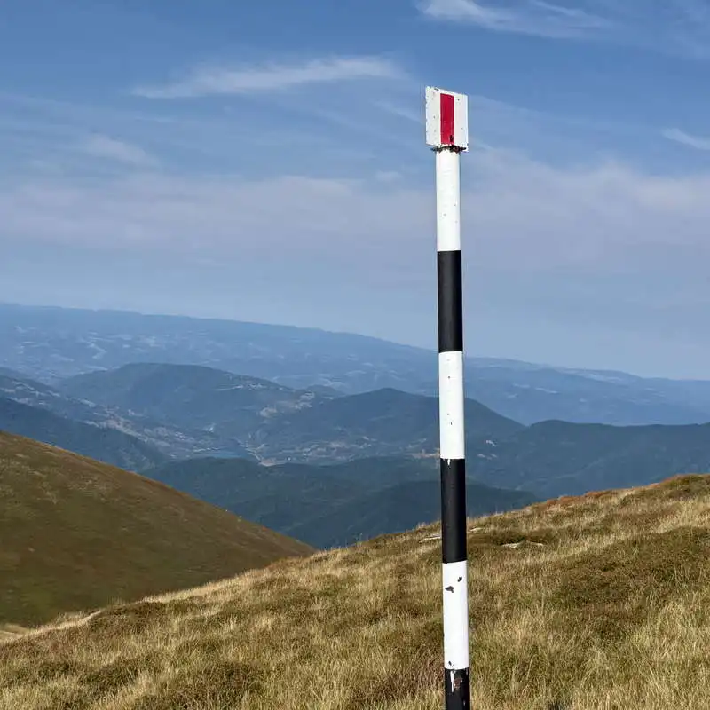
Marking: red stripe
Water sources: points 1 (at the start), 5 (after Vârful Babei—very good and very useful), 8, and 14 (at the finish, before Șaua Ciumerna, which was flowing very slowly)
Minimum elevation: 1,481 meters above sea level, upon arrival at Șaua Ciumerna
Maximum elevation: 1,940 meters above sea level, at Dobrii Peak, point 3 on the map
Elevation gain/loss: approximately +900 m / -1,300 m

Notes: Don't forget to refill the water!

1. Spring near Curmătura Olanelor (1,900 m) – Curmătura Olanelor (1,670 m) – Dobrii Peak (1,940 m)

2 hours / 5 km / moderate / red trail

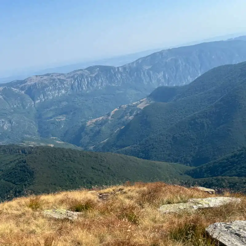
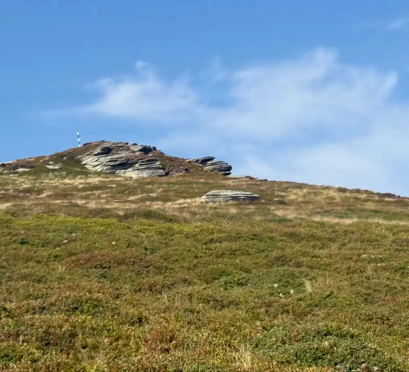
From the spring just before Curmătura Olanelor, we fill up with excellent water—which we’ll need later on the trail for hydration. The trail is flat all the way to Curmătura Olanelor, a distance of 4 km. At Curmătura Olanelor is the actual pass from the Godeanu Mountains into the Cernei Mountains. Ahead of us is Dobrii Peak, the highest peak in the Cernei Mountains, which we approach from the left to ascend more gradually to the summit marker. Behind us we see the Godeanu Mountains; to the left, in the direction we’re heading, lie the spectacular Mehedinți Mountains, separated from the Cernei Mountains by the Cernei Valley.
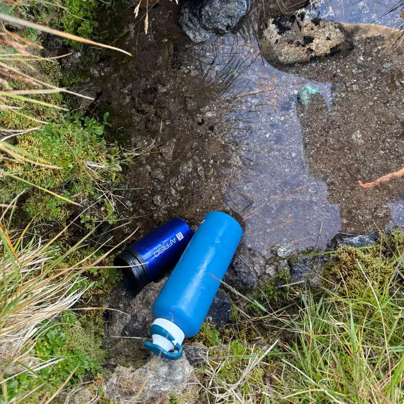
We refuel at the start of the trip

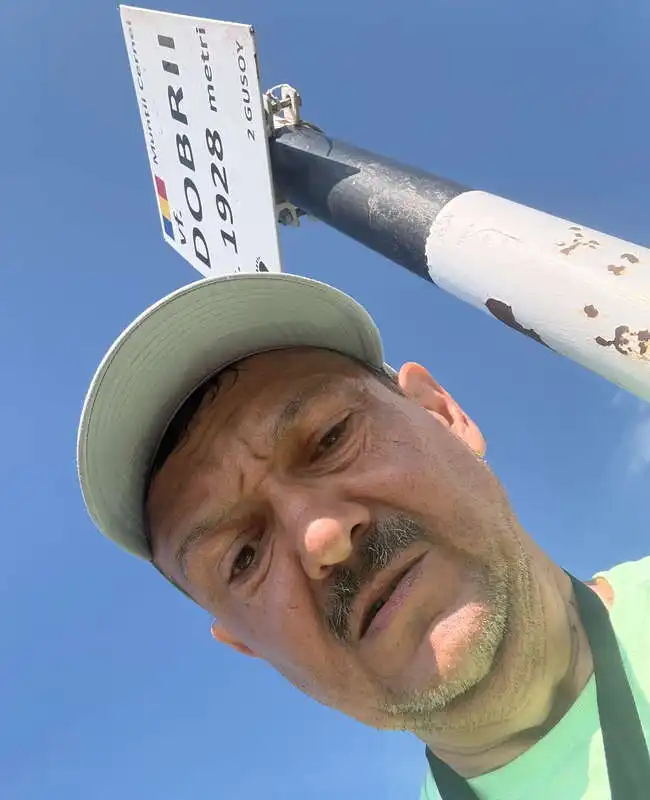
Dobrii Peak

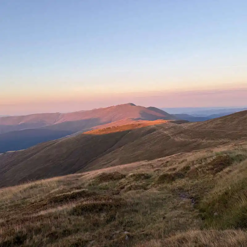
sunrise on Dobrii Peak

2. Dobrii Peak (1,940 m) – below Baba Peak – Boldoveni Peak (1,803 m) – below Vlașcu Mare Peak (1,618 m) – Vlașcu Mic Peak (1,739 m)

5.5–6 hours / 15 km / moderate / red trail

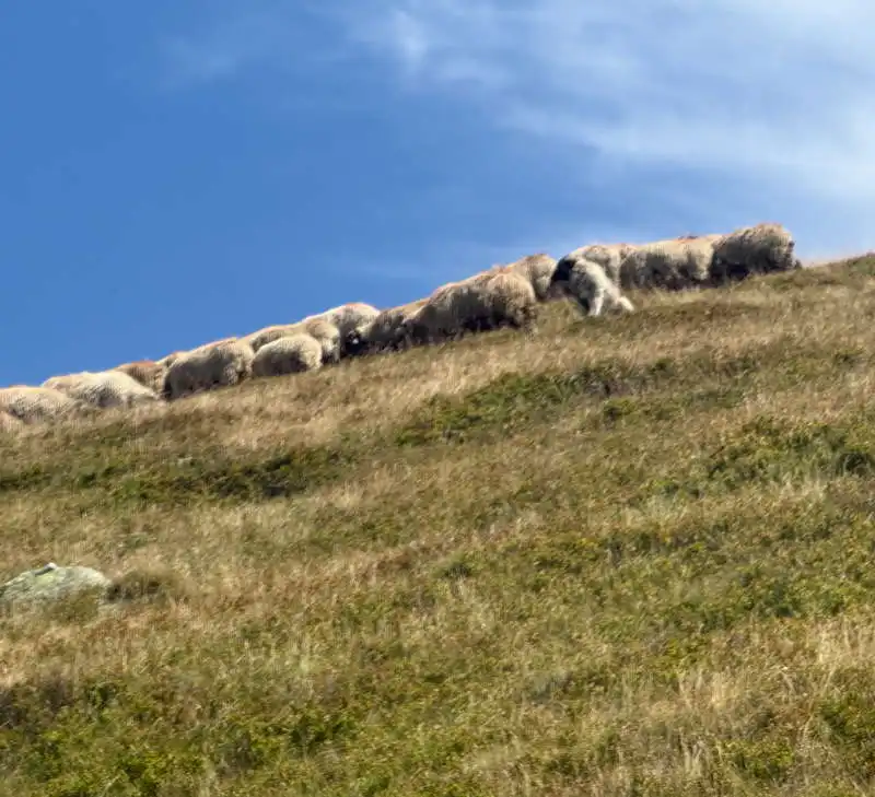
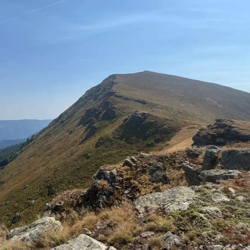
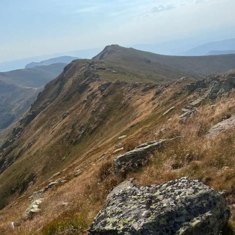
This is a long stretch of ridge where the landscape—and especially the appearance of the trail—remains virtually unchanged. There are a few peaks you’ll bypass, such as Vârful Babei on the right and Vârful Vlașcu Mic on the left. At the saddle beyond Vârful Babei, it makes sense to leave your heavy backpacks behind and follow the map along the sheep trail toward the spring. Be careful—there’s also a flock of sheep here with very vicious and very strong dogs, so talk to the shepherd ahead of time and have your bear spray ready! The spring has a very good flow and cold, tasty water. If you refill your water supplies sufficiently, they’ll last you all the way to Șaua Ciumerna, where there is water, but it’s barely trickling. After returning to our heavy backpacks, we continue along the ridge trail. The climb up Vlașcu Mic is exhausting. Great view toward Piatra Cloșanilor.

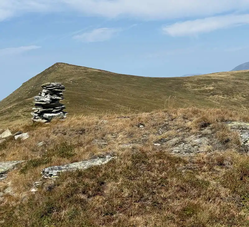
the beauty of the mountain ridge landscape

the sheepfold with vicious dogs below Vârful Babei

the saddle beyond Vârful Babei, from where the trail leads to the spring

The Hike Up Vlașcu Mic

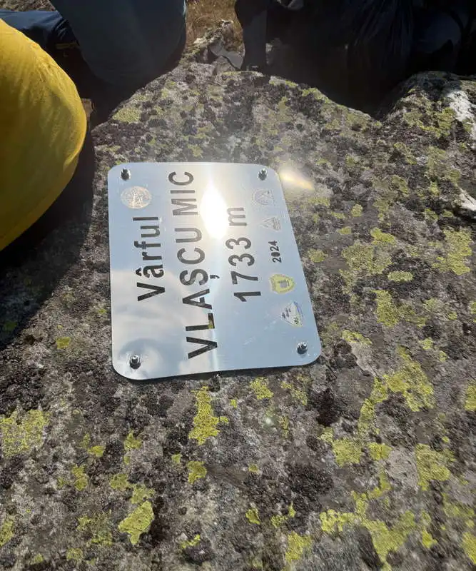
Vlașcu Mic Peak

3. Vlașcu Mic Peak (1,739 m) – Zglivar Peak (1,713 m) – Zglivar Saddle (1,557 m) – Iuții Peak (1,589 m) – Ciumerna Saddle (1,481 m)

2 hours / 5 km / moderate / red trail

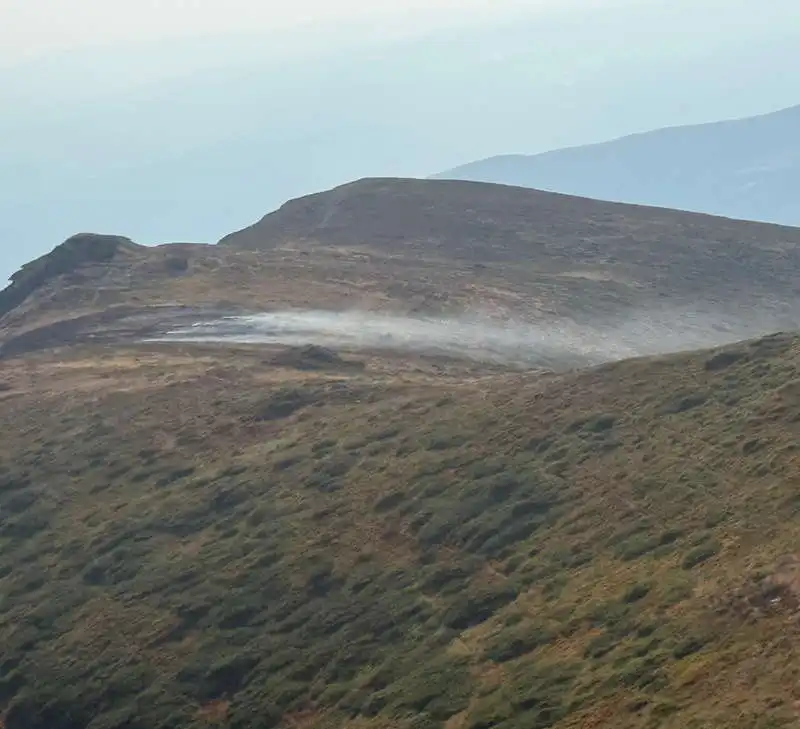
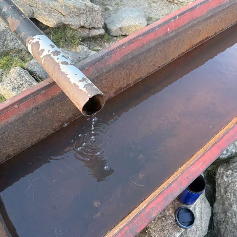
From Vlașcu Mic to Zglivar, the trail follows the ridge line, which is almost flat. Here we came across a wildfire. Then you descend a long way into Zglivar Saddle, climb a short distance up to Iuții Peak, and descend again a long way toward Ciumerna Saddle. About halfway down the slope, you can leave your backpacks on the trail again and follow the unmarked contour line toward the spring visible to the left, above the marked trail that ascends to the saddle. There are two troughs here for collecting water to water the animals. The spring trickled so slowly that it took five minutes to collect just one liter of water, but the supply was vital. We return to the trail with our water supplies, descend into the saddle, and set up camp for another wonderful sunset. Once again, a very leafy spot to pitch the tent.

view of the Mehedinți Mountains

Zglivar Peak

wildfire on Zglivar

the spring near Șaua Ciumerna

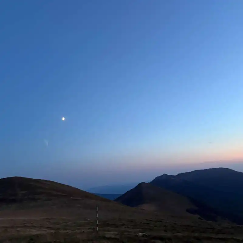
sunset in Ciumerna Pass

Conclusion Day 6/7

1. Choosing your water sources is very important. It’s a long stretch with few springs, and those that are there aren’t right on the ridge trail.

2. Stunning views of the Godeanu, Mehedinți, and Semenic Mountains and Piatra Cloșanilor.

All the best!

Steps:

en_USEnglish