Retezat–Godeanu–Cernei Ridge – Day 4 of 7 – Retezat & Godeanu Mountains

Poiana Pelegii (1,620 m) – Plaiul Mic Saddle (1,879 m) – Piatra Iorgovanului Peak (2,014 m) – Paltina Saddle (1,930 m) – Scărișoara Lake (1,980 m)

Access

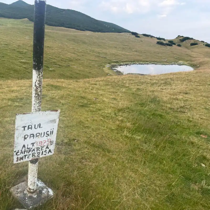
We are on the fourth day of our 7-day expedition along the ridge of the Retezat–Godeanu–Cernei Mountains, the day on which we will also cross from the Retezat to the Godeanu range via the Paltina Pass. Entry/exit points to/from the ridge: at Plaiul Mic Pass from Buta Cabin or from Poiana Pelegii, at Piatra Iorgovanului, follow the red triangle toward Izvorul Jiului de Vest; at Paltina Pass, follow the red triangle toward Vașea Lăpușnicul Mare and the red marker upstream from Izvorul Jiului de Vest. Near Tăul Păpușii, close to the Plaiul Mic Saddle, camping is prohibited. At Poiana Pelegii there is also a Mountain Rescue Center, where we had descended from the ridge the day before in order to now return to the ridge trail. Basically, after leaving the Retezat Mountains at Șaua Paltina, the access routes to and from the ridge are very long and few in number, so you need to take this into account if you plan to continue along the ridge route.

About the hike on Day 4/7

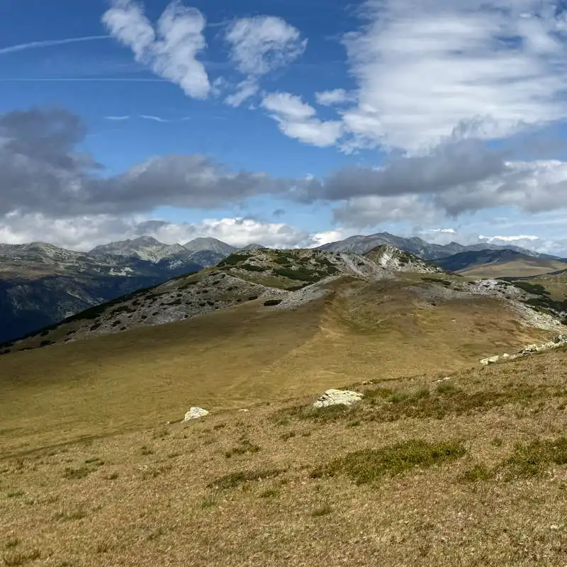
It was a long day. Long and hard. We no longer have to worry about a lack of water sources. It was a very long and exhausting day, especially because of the wind, which blew in strong gusts. The highlight of the day was Piatra Iorgovanului Peak, where we climbed the final steps on all fours. The terrain changes near the Retezatul Mic range, where we climbed Piatra Iorgovanului Peak, and after returning to the ridge trail, we switched to a partially exposed path. From the Paltina Saddle—where we essentially enter the Godeanu Mountains—the route becomes fairly gentle, winding through alpine meadows and remaining almost constantly above 2,000 meters.

Route map

(click on objectives for extended version)

Technical box

Difficulty: hard
Duration / Distance: 9–10 hours / 24 km
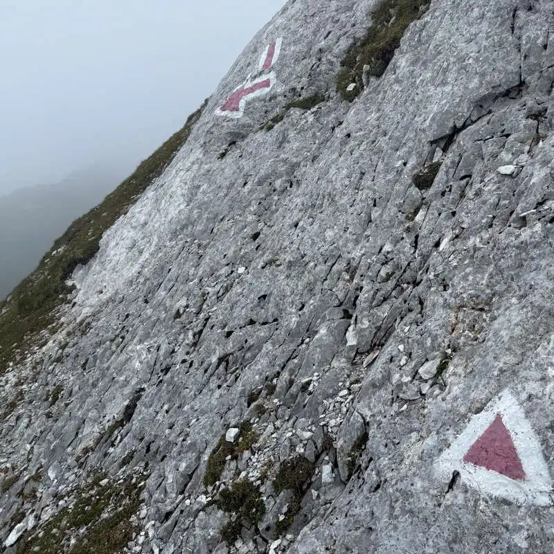
Trail markers: blue stripe and red cross up to Șaua Plaiul Mic; red stripe along the ridge, except for the ascent to Piatra Iorgovanului, which is marked with a red triangle
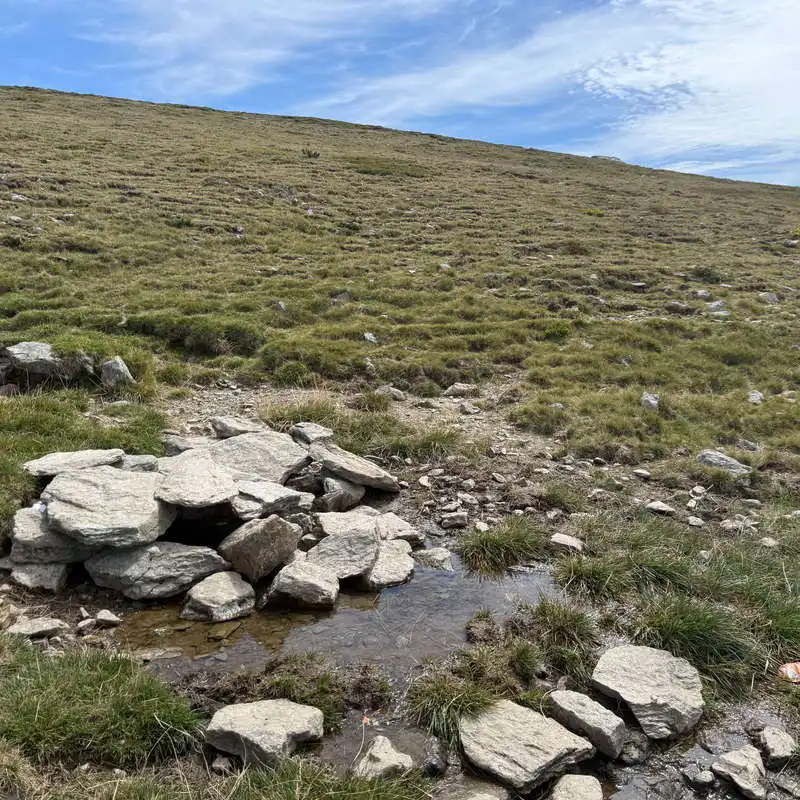
Water sources: near the Poiana Pelegii Mountain Rescue Shelter, points 3 and 4 (very good), then along the ridge at points 9, 10, 23 (very good), 25, 26, 31, and on the shortcut to the lake at points 32 and 33, which also have very good springs
Minimum elevation: 1,620 meters above sea level, in Poiana Pelegii, at the starting line
Maximum elevation: 2,165 meters above sea level, at point 27, below Galbena Peak
Elevation gain: approximately +1,200 m / -800 m

Notes: The ascent from the ridge trail to Piatra Iorgovanului Peak involves a short climb during the final few meters.

1. Poiana Pelegii (1,620 m) – Plaiul Mic Pass (1,879 m)

1 hour / 2 km / moderate / blue stripe and red cross

This is the section of the trail leading back to the ridge path—the same as the previous day, only now we’re heading uphill. Spring No. 4, located right on the trail, has a very good flow and is the perfect source of drinking water. At the Plaiul Mic Saddle, just a little above Tăul Păpușii, is the intersection with the ridge trail.
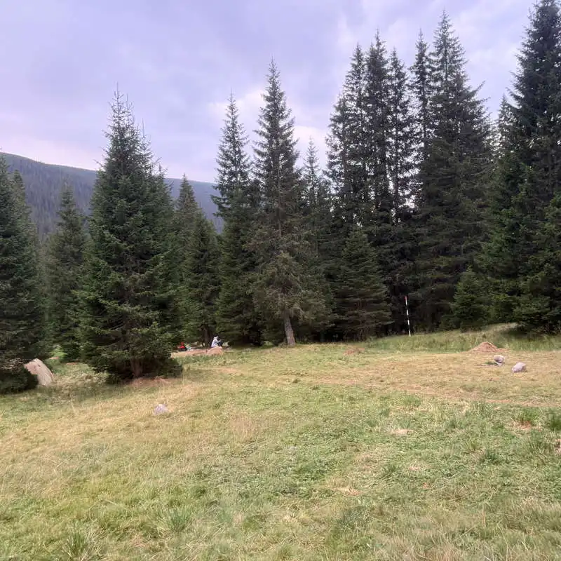
Poiana Pelegii—a permitted and good place to camp

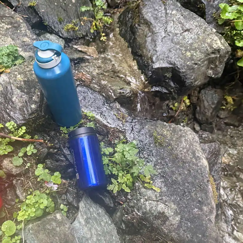
a good spring between Poiana Pelegii and Șaua Plaiul Mic

Păpușii Pond

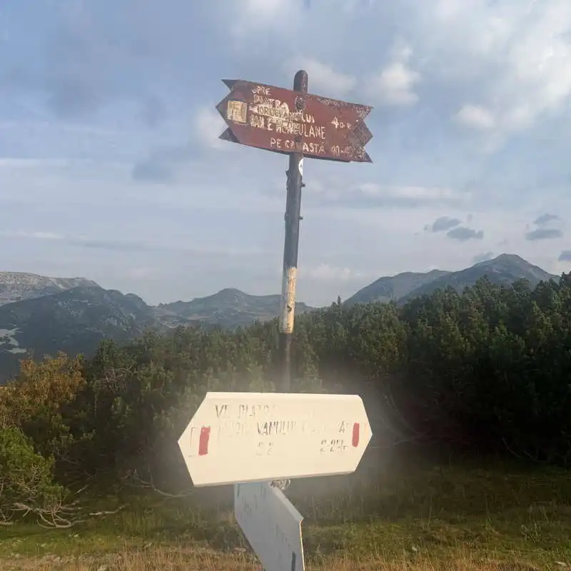
the trail junction at Șaua Plaiul Mic

2. Plaiul Mic Pass (1,879 m) – „La Bolboroși” Spring (1,810 m) – Piatra Iorgovanului Peak (2,014 m)

2.5–3 hours / 8 km / moderate / red stripe and then red triangle

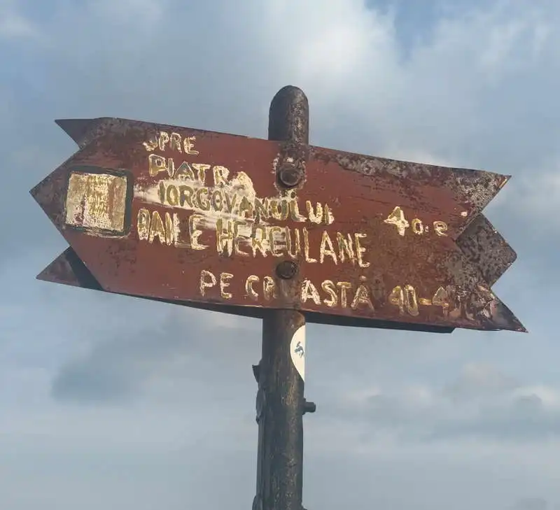
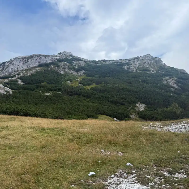
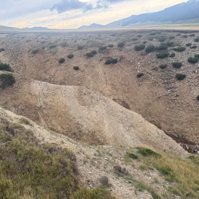
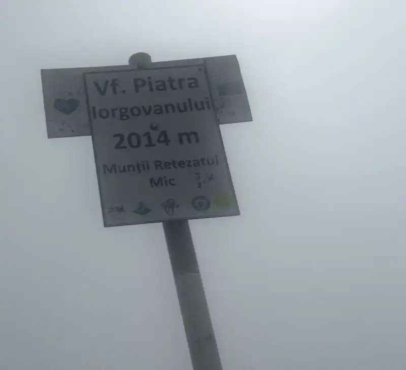
The trail first winds through a wide corridor among juniper bushes, then an alpine meadow—neither ascending nor descending—until it reaches the „La Bolboroși” Spring, where a deep ravine stands out; at its bottom runs a trickle of water that disappears further down. From here, we begin the ascent through mountain avens and junipers to emerge onto the limestone ridge of Căpățâna Albelor. The unmistakable white silhouette of Piatra Iorgovanului comes into view. On the map, we spot the spot where we’ll leave our backpacks on the trail to climb for 5–10 minutes up the red triangle to the marker post at the summit of Piatra Iorgovanului. The ascent is steep, and the final few meters involve a bit of scrambling.

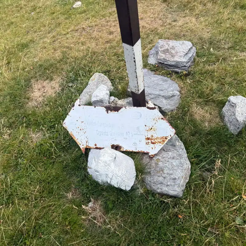
sign in Șaua Plaiul Mic

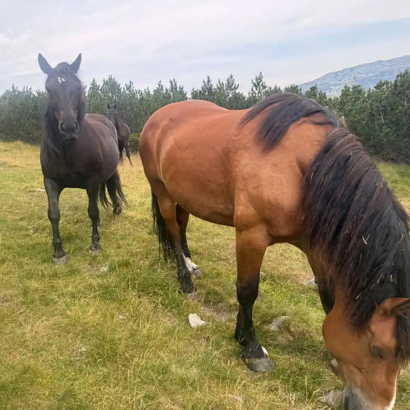
free horses

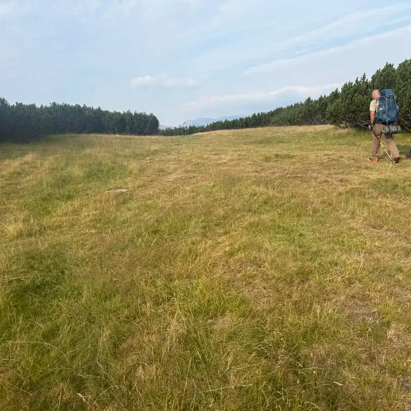
along the smooth, wide path through the juniper grove

7. Piatra Iorgovanului Peak in the Lesser Retezat Mountains

the ravines at the "La Bolboroși" Spring"

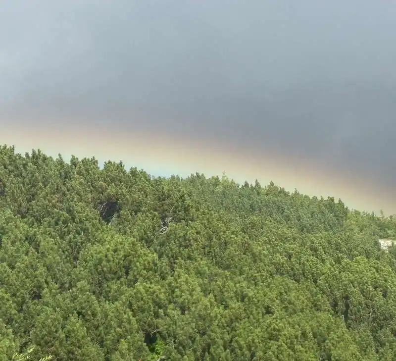
wind, fog, a rainbow, and rain somewhere

3. Piatra Iorgovanului Peak (2,014 m) – Paltina Saddle (1,930 m)

1 hour / 3 km / difficult / red triangle, then red stripe

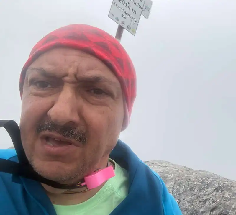
On Piatra Iorgovanului Peak, the wind blew strongly, and waves of fog alternately enveloped and revealed us. The inclement weather prompted us to retreat quickly, descending in 5 minutes along the same red triangle on the ridge trail, marked by a red band. After a short rest near a juniper bush, we decided to continue because the weather showed no signs of improving. The descent is gradual, but at first along a slightly exposed trail, down to the Paltina Saddle, which marks the pass from Retezat to Godeanu. Point 19 on the map.

Piatra Iorgovanului Peak

A partially exposed descent follows after Piatra Iorgovanului

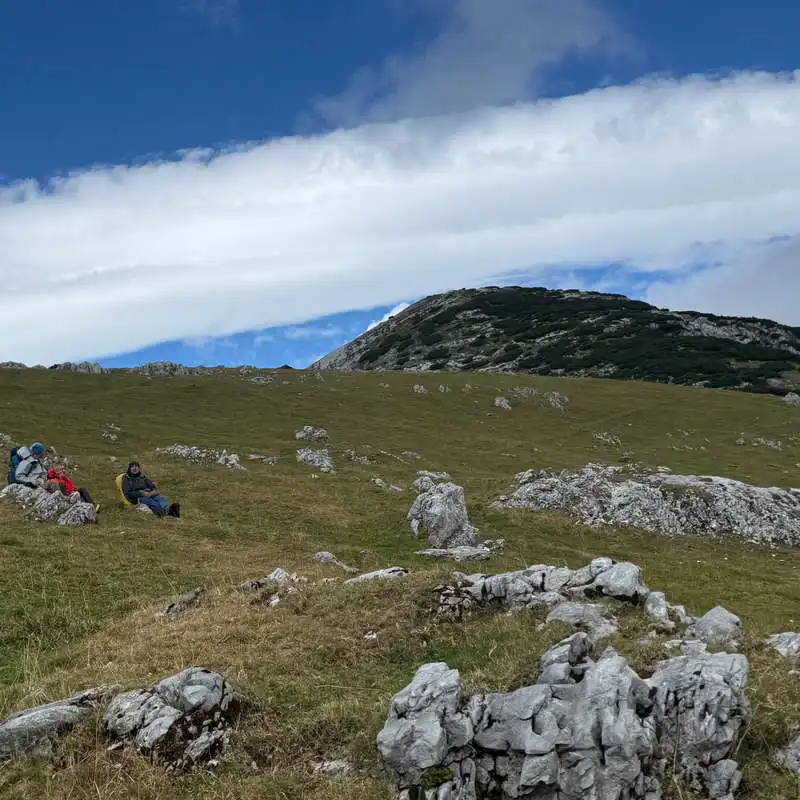
The Paltina Saddle

4. Paltina Pass (1,930 m) – Scărișoara Lake (1,980 m)

4 hours 30 minutes – 4 hours 45 minutes / 12 km / moderate / red trail

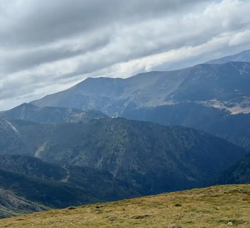
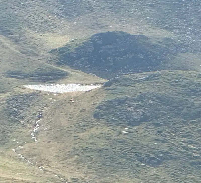
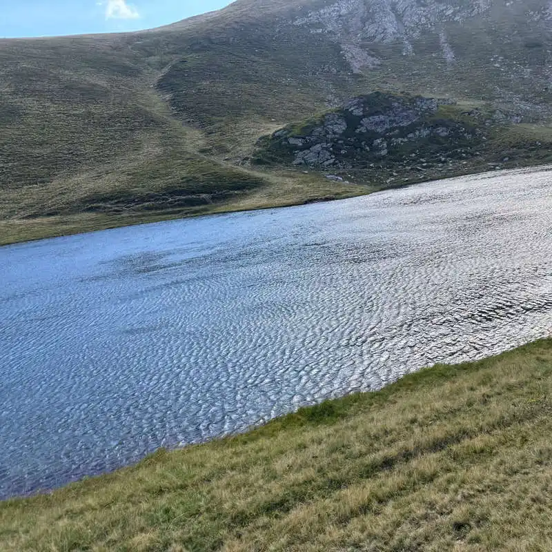
We’re entering Godeanu! We climb, leaving a few minor peaks to our left. Unfortunately, the wind gusts are getting even stronger, but the good news is that it won’t rain as the forecast had predicted. It’s hard to find shelter for a lunch break in this alpine clearing! Spring 24, located just before Șeia Gârdomanu, offers good, cold water. Another climb follows, past blueberry bushes, which takes the trail above the 2,000-meter mark, and we’ll remain at this altitude for quite some time from here on. From below the Stâna Mare peak—where you can see a sheepfold on the right—we catch sight of Lake Scărișoara in a glacial cirque, its surface rippling in the gusts of wind. From here, we followed sheep trails that led us along a level path, past several springs, all the way to the meadow below the lake, thus avoiding a climb up Stâna Mare and Micușa. Lake Scărișoara is stunning. We secured our tents firmly and went to sleep.

We crossed into the Godeanu Mountains

view looking back toward the Retezat Mountains

a refreshing spring along the trail

sublime!

the basin where Lake Scărișoara and many springs are located

Lake Scărișoara, rippling in the wind

ConConclusion 4/7

1. The short ascent/descent along the ridge to Piatra Iorgovanului Peak involves a bit of climbing.

2. Many sources of water.

3. Stunning views of the Retezat and Godeanu Mountains.

4. And a gorgeous lake—Lake Scărișoara!

All the best!

Steps:

en_USEnglish