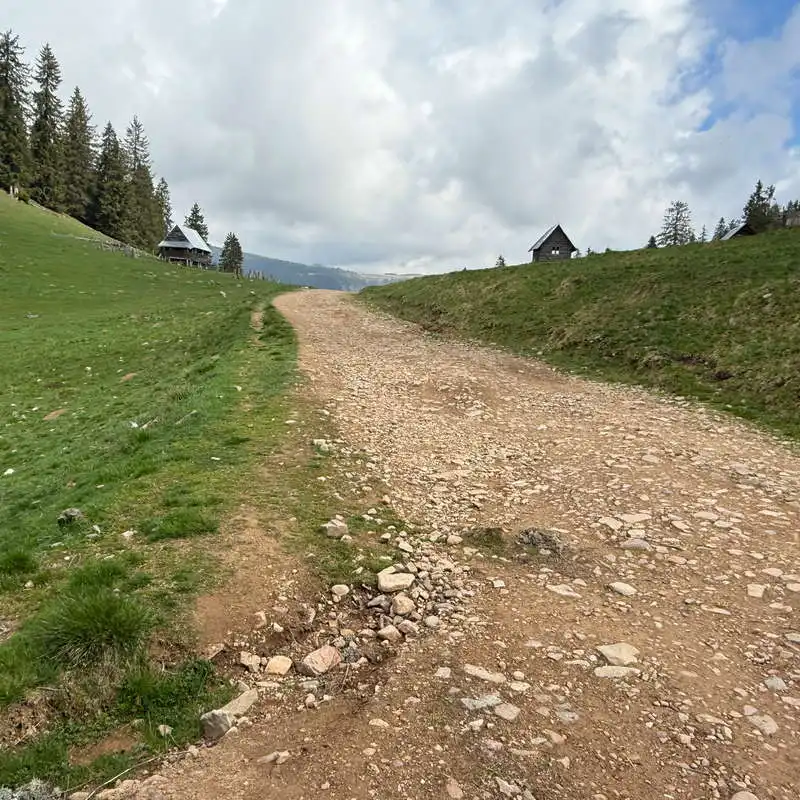
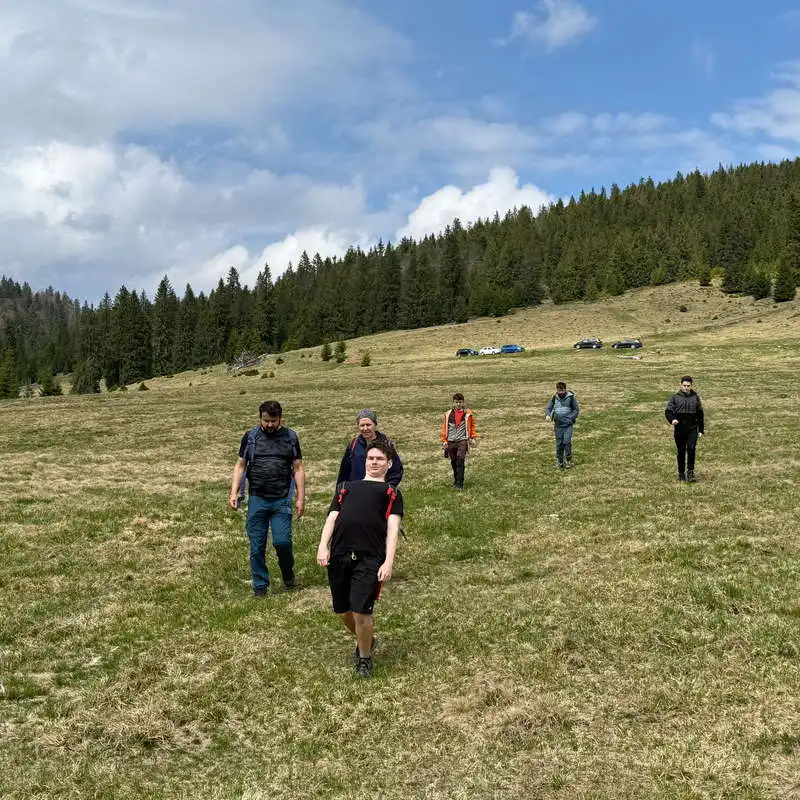
2. Branching - Rădesei Fortress Cave (1300 m) - Rădesei Poiana (1230 m)
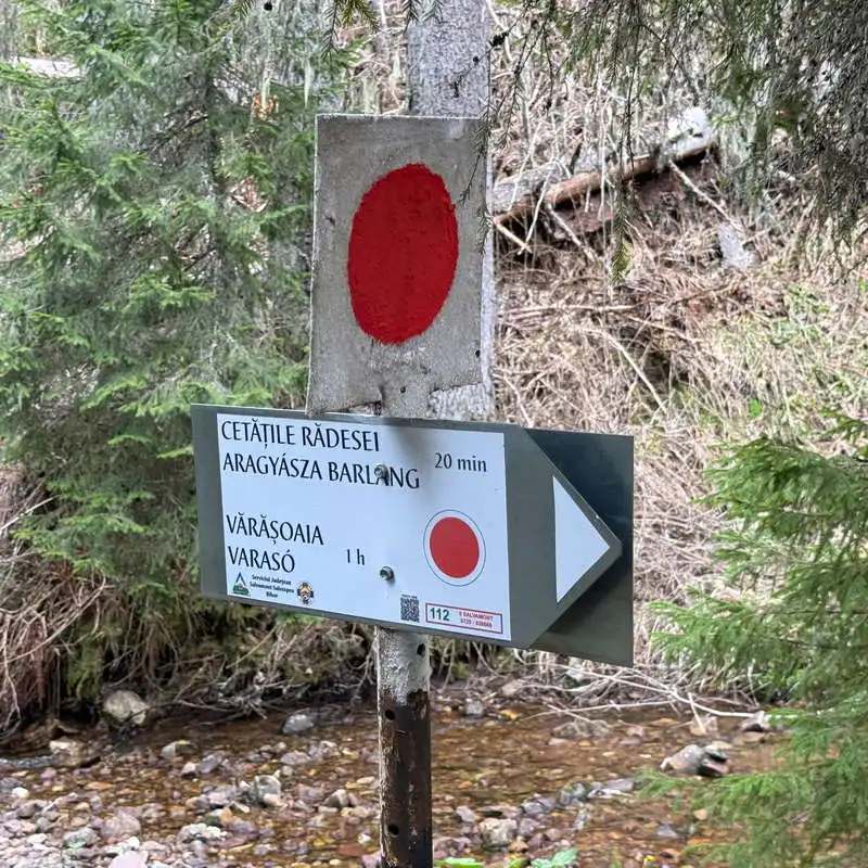
distance 1,2 km / duration 30-60 minutes / difficult / red point
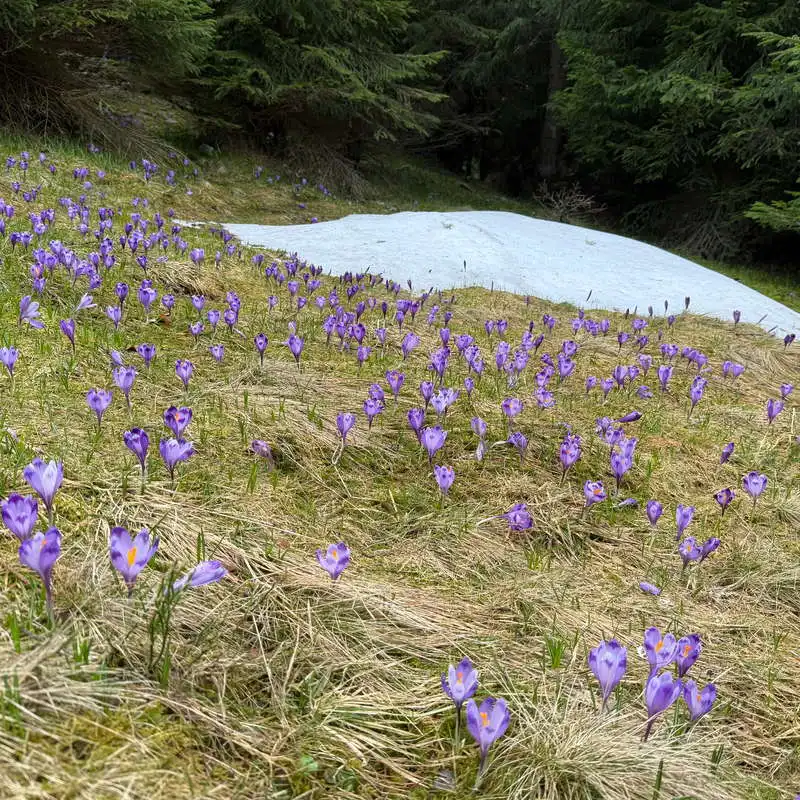
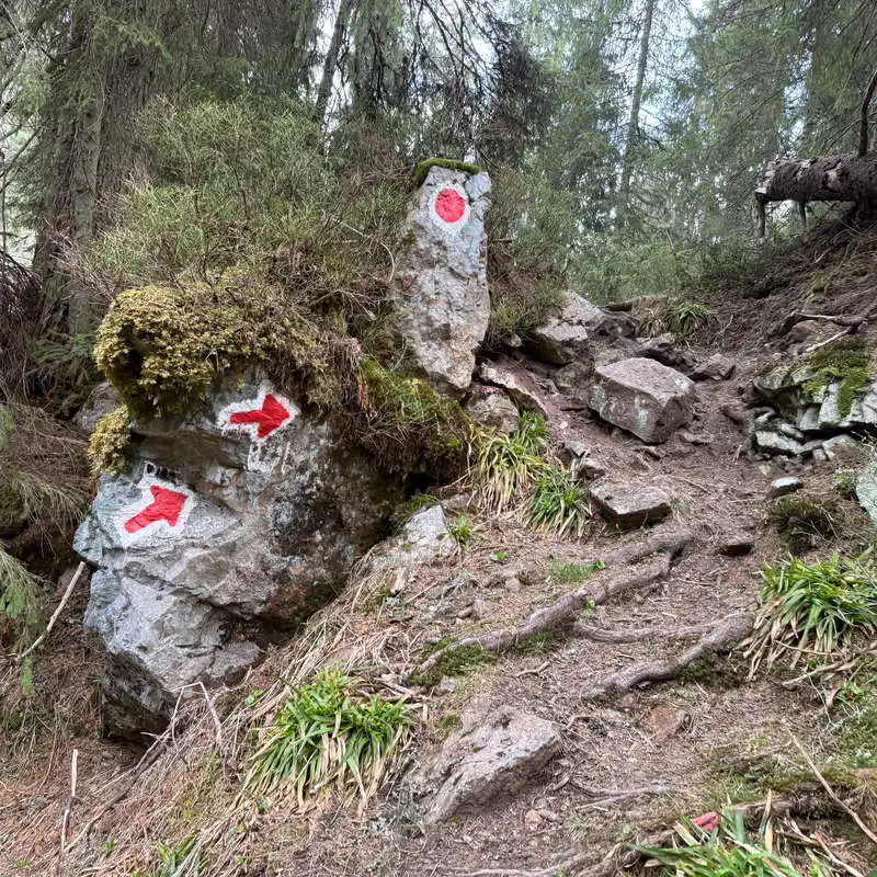
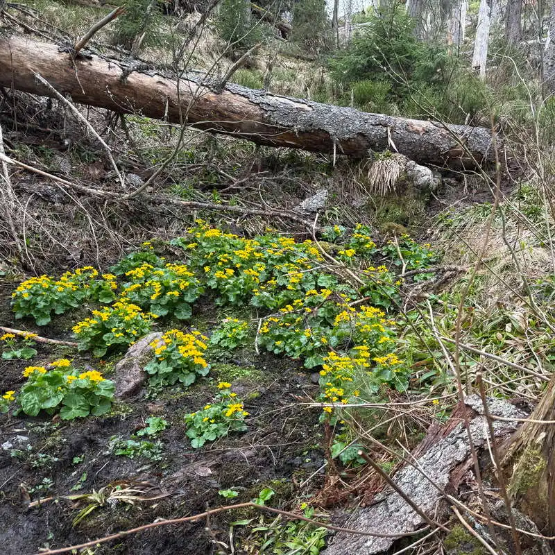
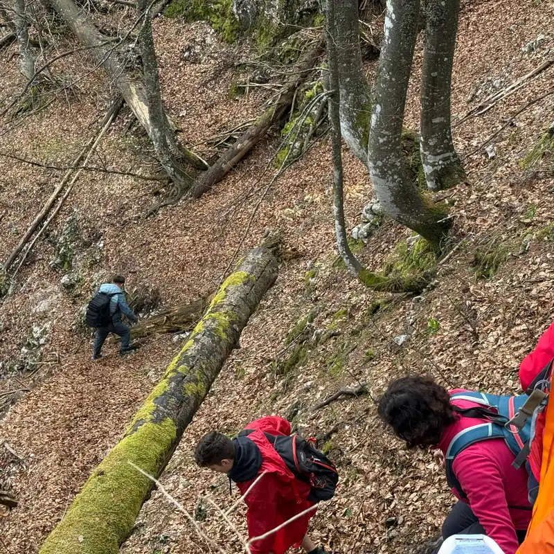
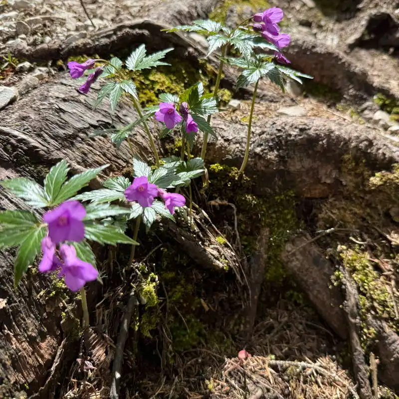
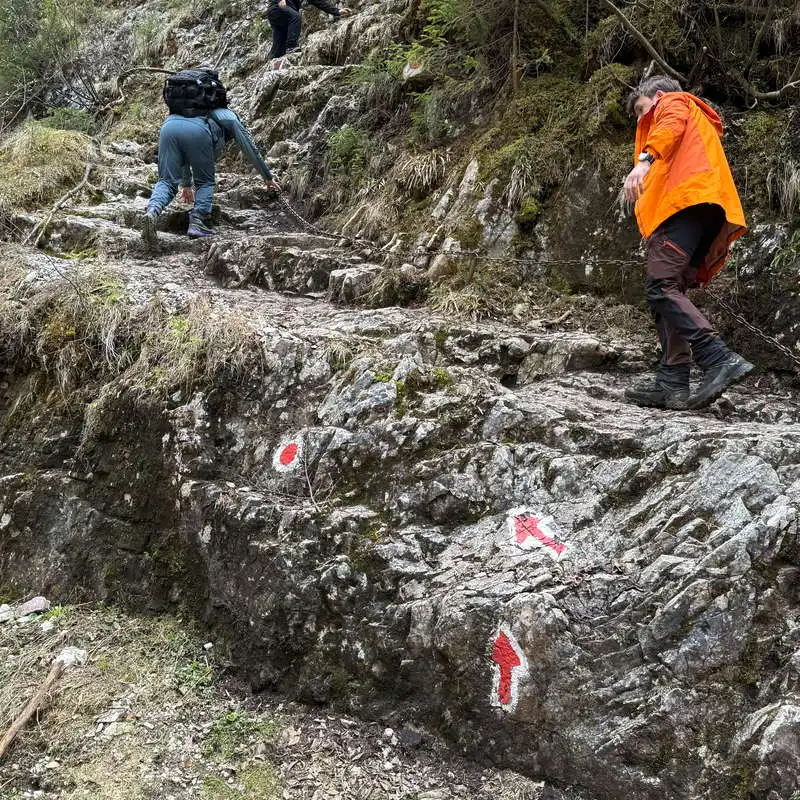
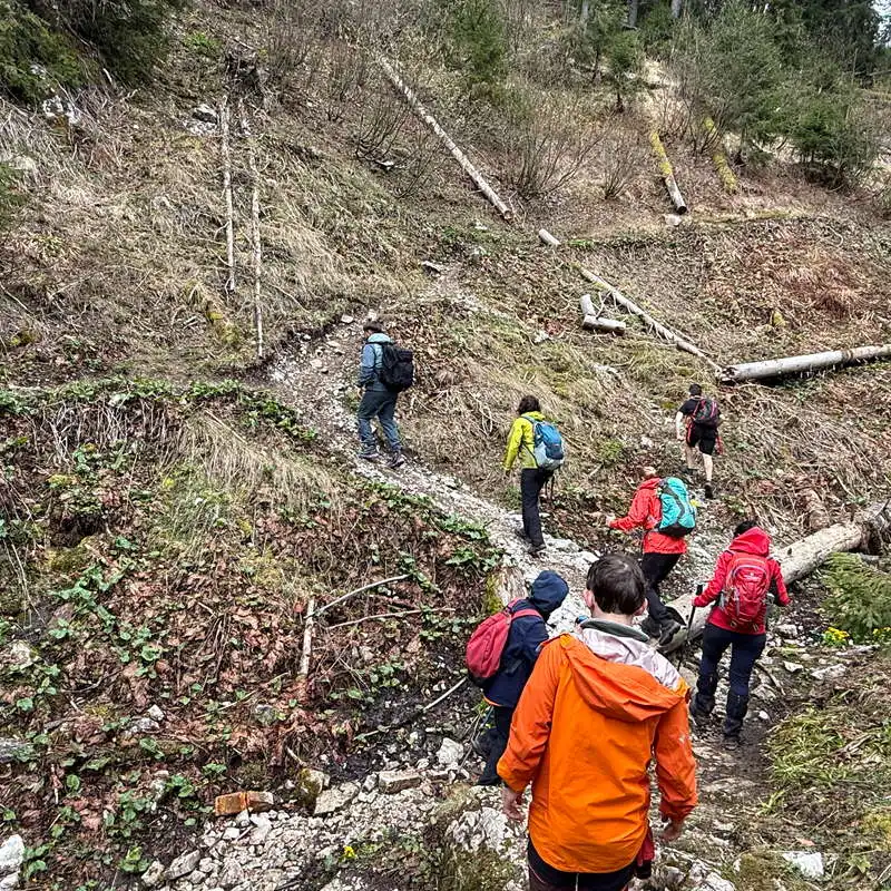
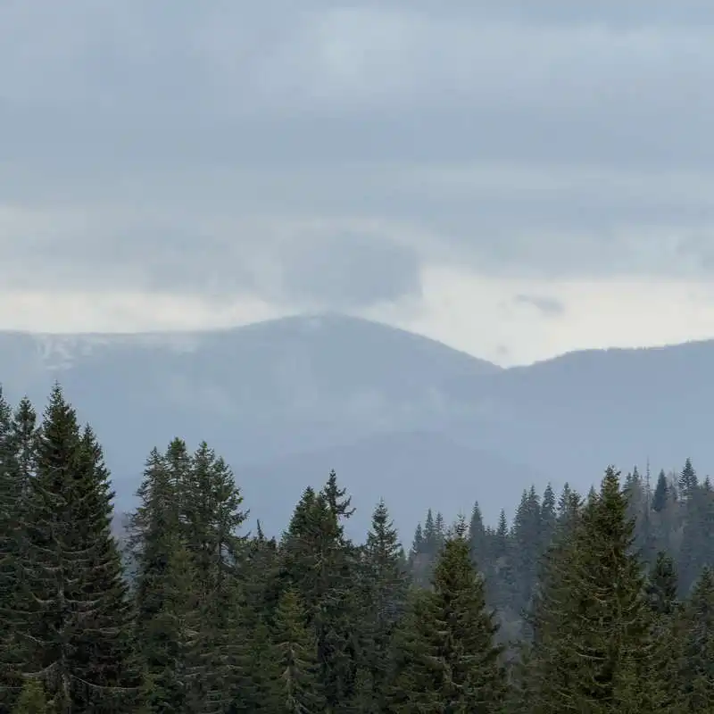
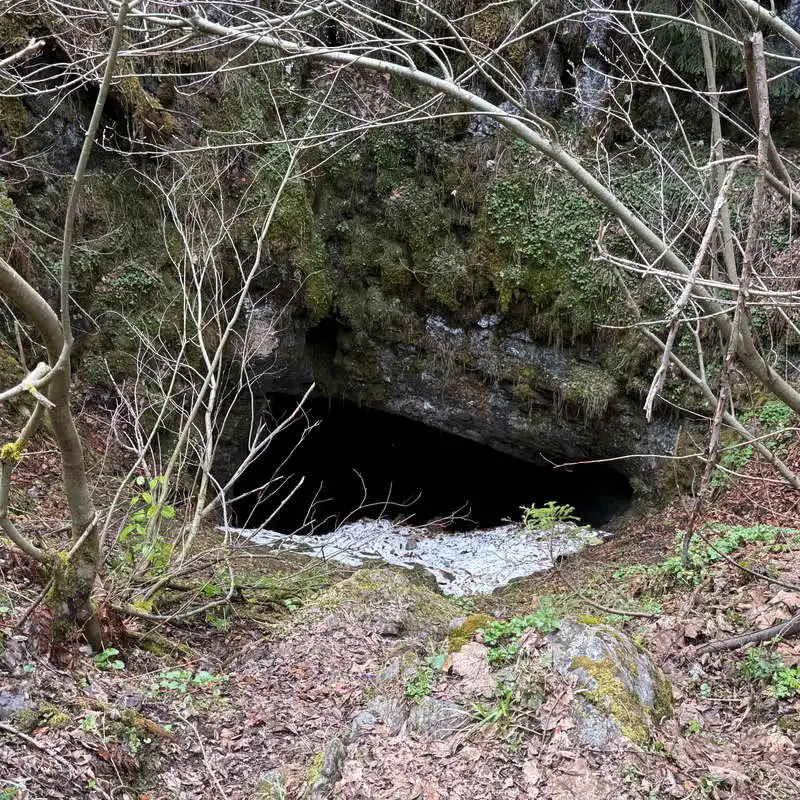
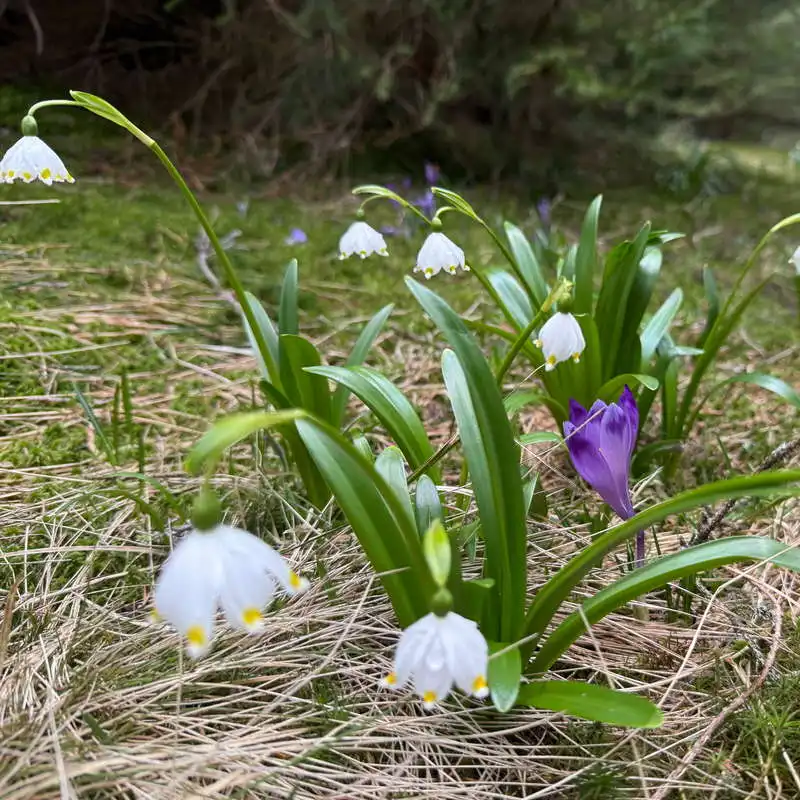
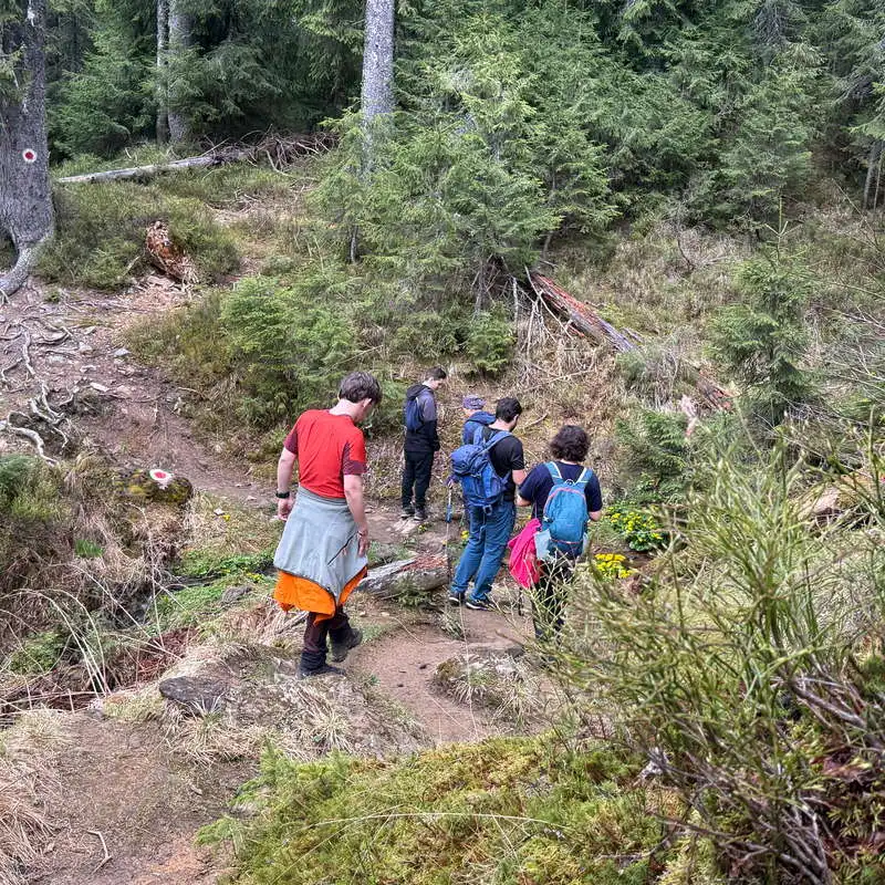
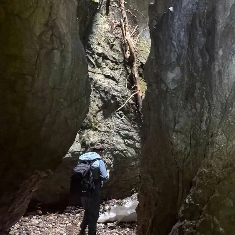
From the fork, continue straight ahead, but change the marker, cross the red point. All other markers lead to the left. We begin to descend through a rare forest towards the Rădeasa stream. Admire the snowdrops, snowdrops and patches of snow. Up to the cave entrance the trail is easy. I recommend entering right on the stream, not on the chained path down a cliff.
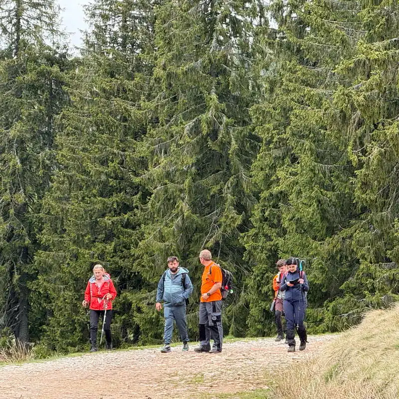
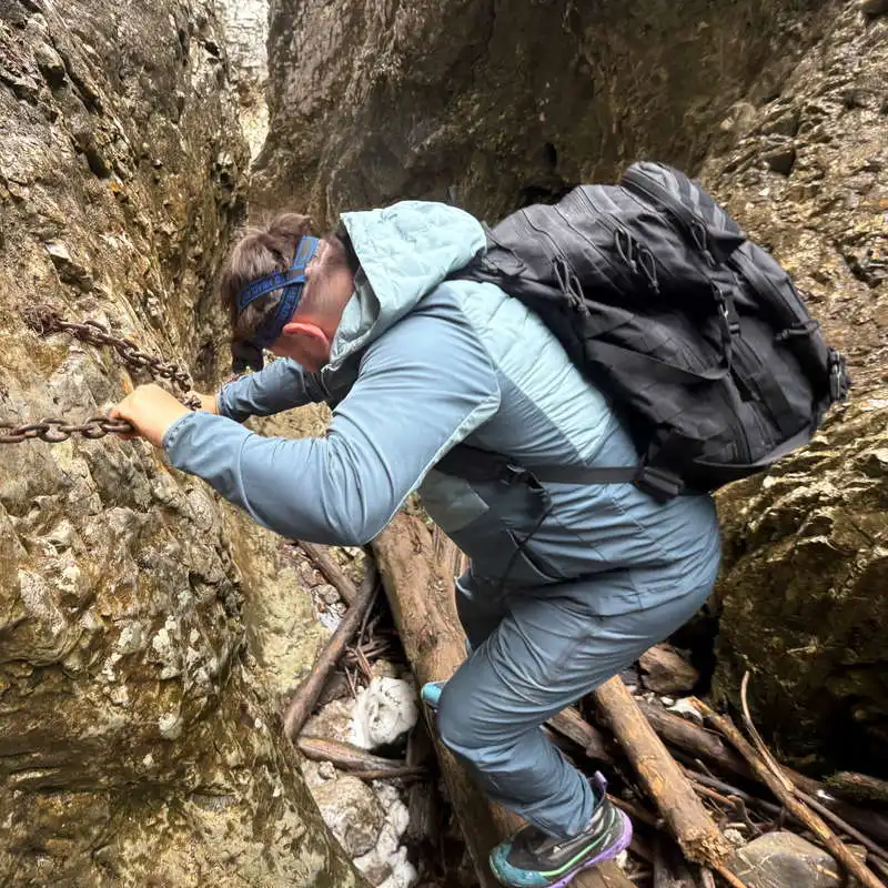
We're at point 8, Babylon Gate. We take the group photo and begin our adventure. The cave is an active one and the marked path leads through it. We encounter various obstacles that must be overcome carefully. I'm referring to 2 drop offs and a rock climb, all 3 vertical and a canyon type passage, all equipped with safety chains. The cave has several natural chimneys through which light penetrates in places. The ascent and descent of the large boulder can be by-passed by water when the stream flow is low. It is the most spectacular portion of our route. The crossing of the Rădesei Fortress Cave remains one of my favorite routes.
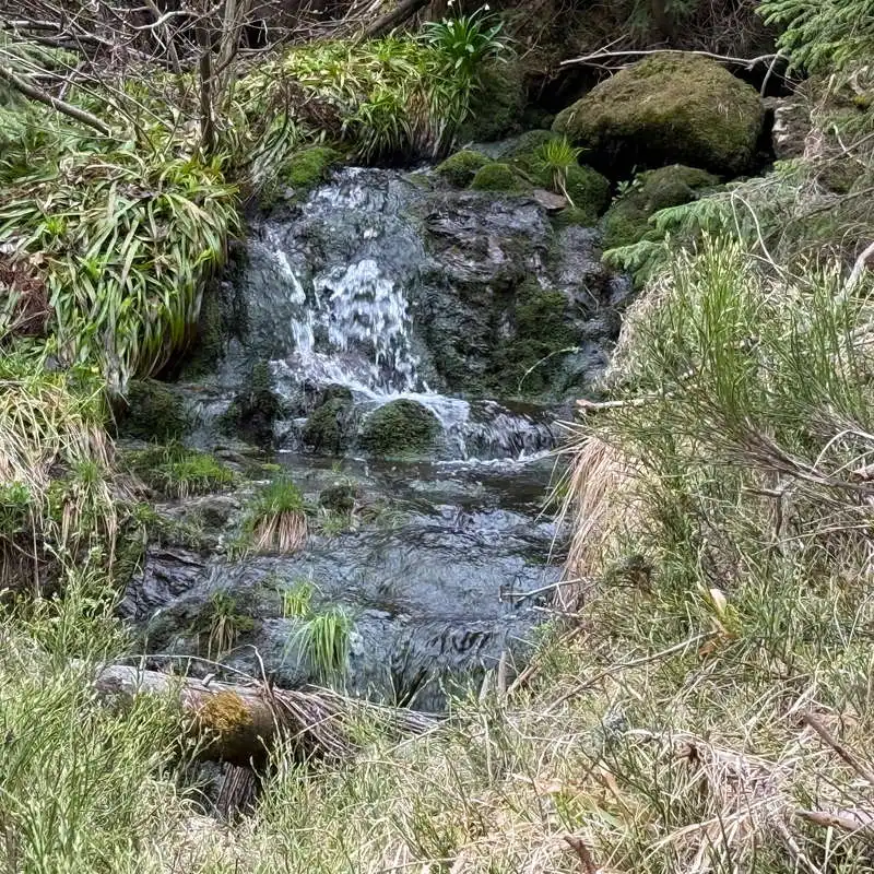
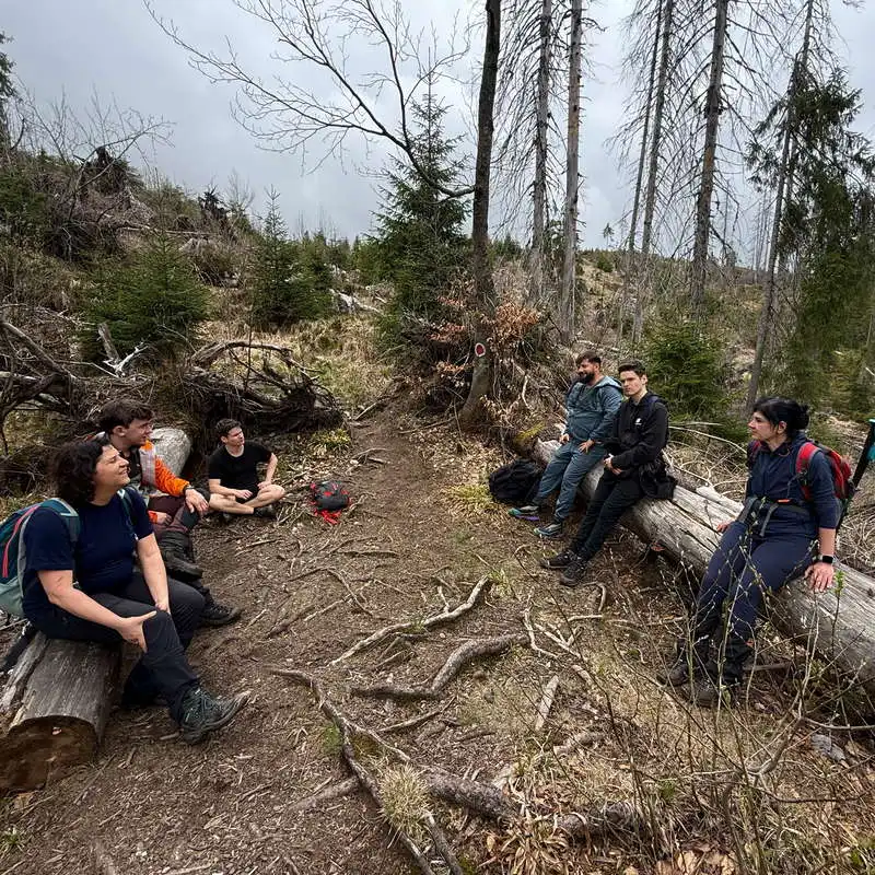
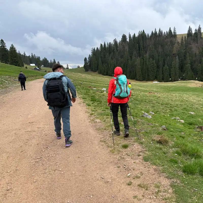
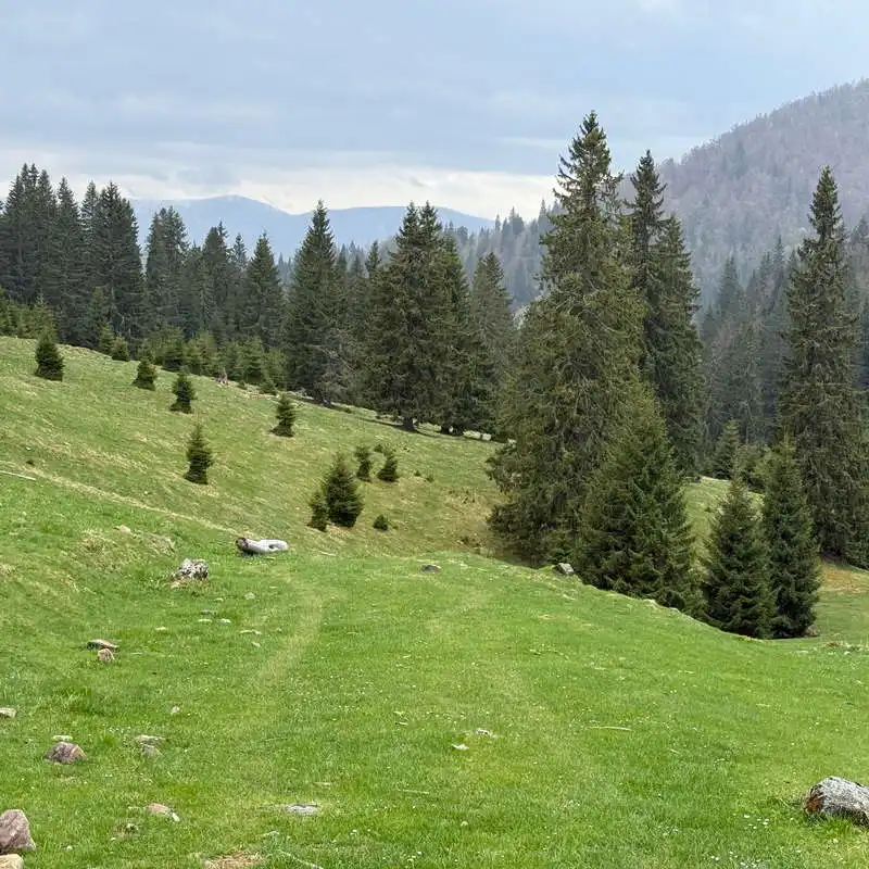
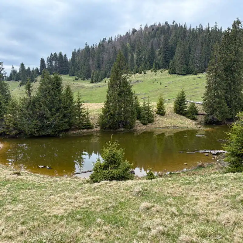
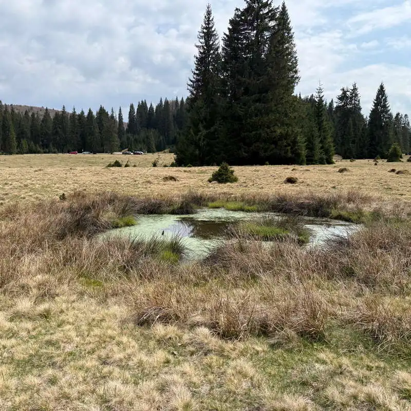
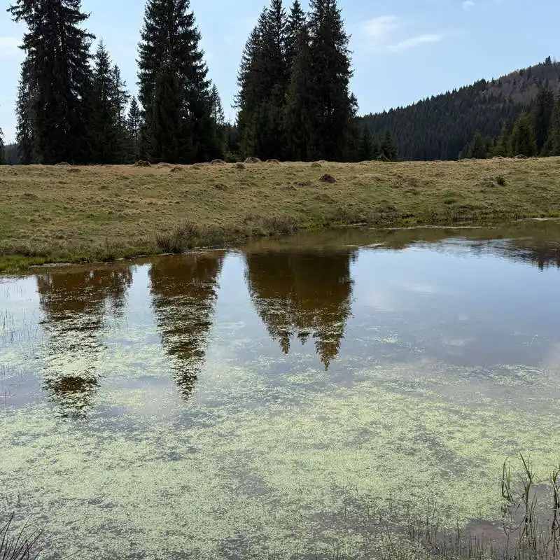
We leave the cave through point 9, pass the confluence of the Rădeasa and Feredeului streams and immediately stop in Poiana Rădesei (point 10).
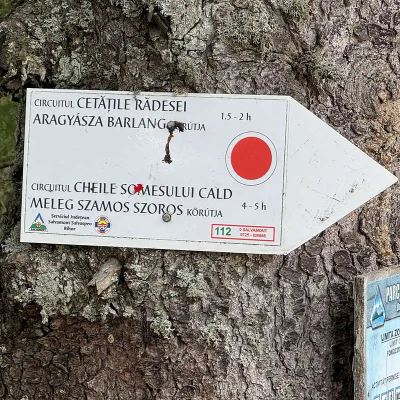
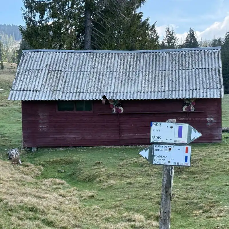
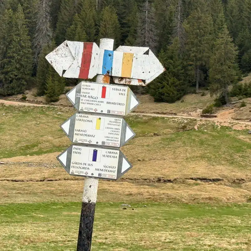
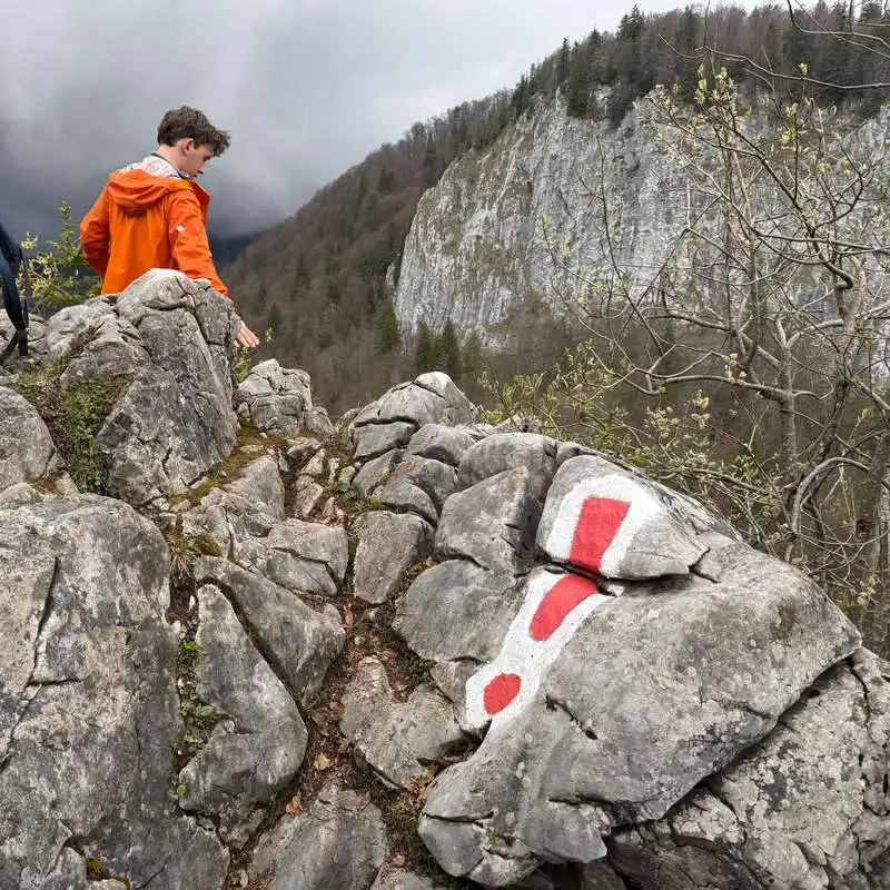
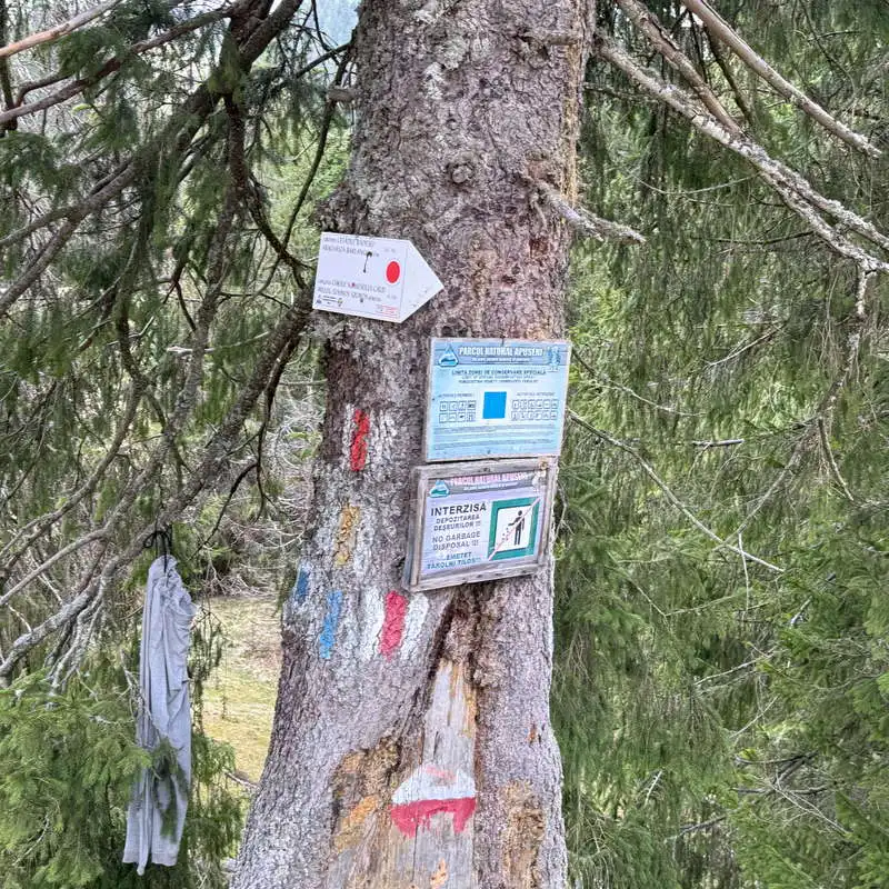
from here the red dot marking starts
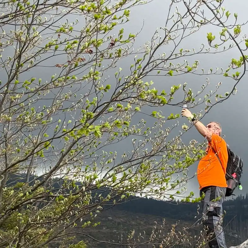
a twig among the cat
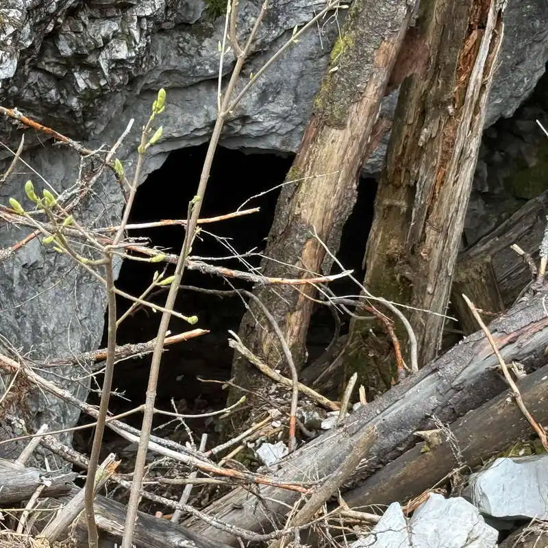
down to the cave
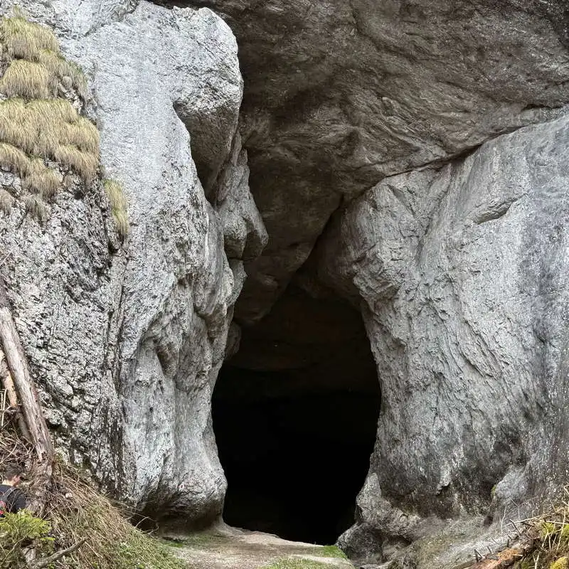
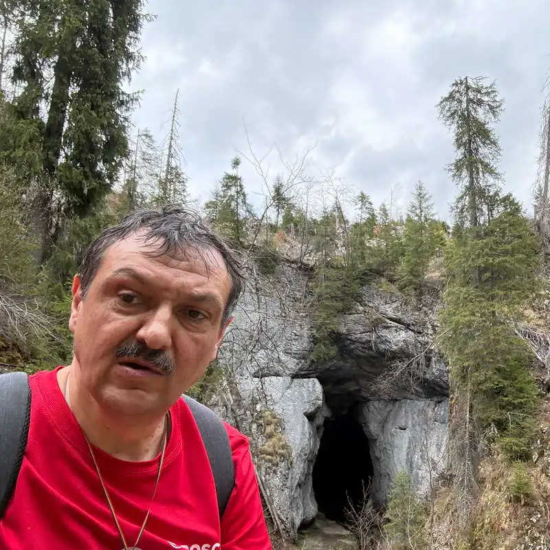
entrance to the cave of the Fortress of Rădesei
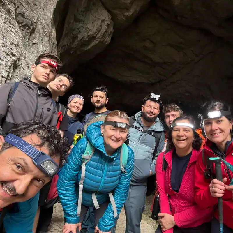
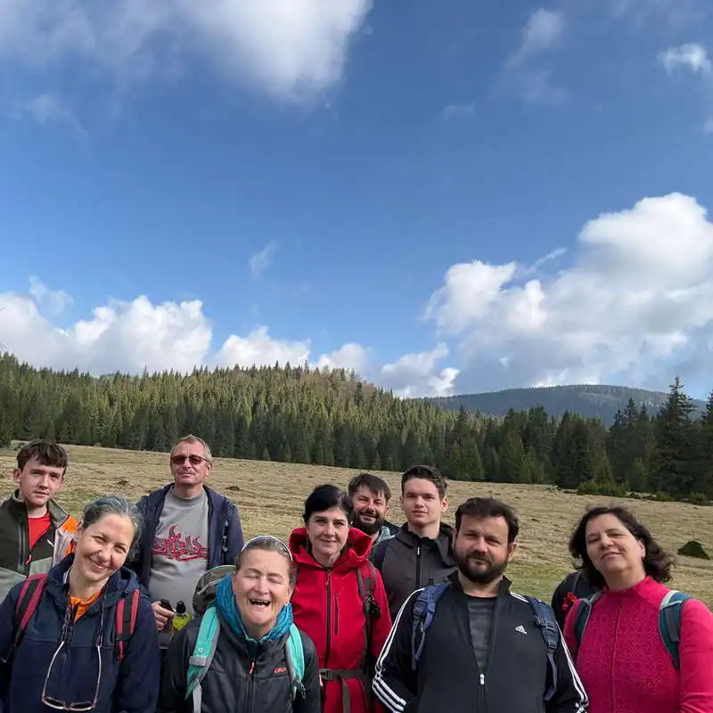
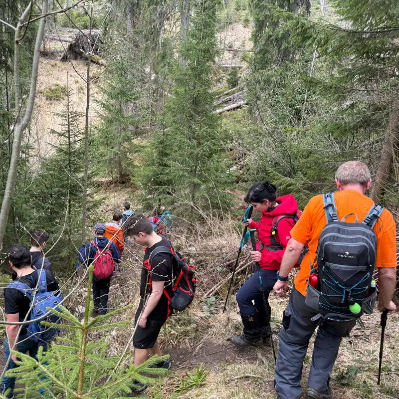
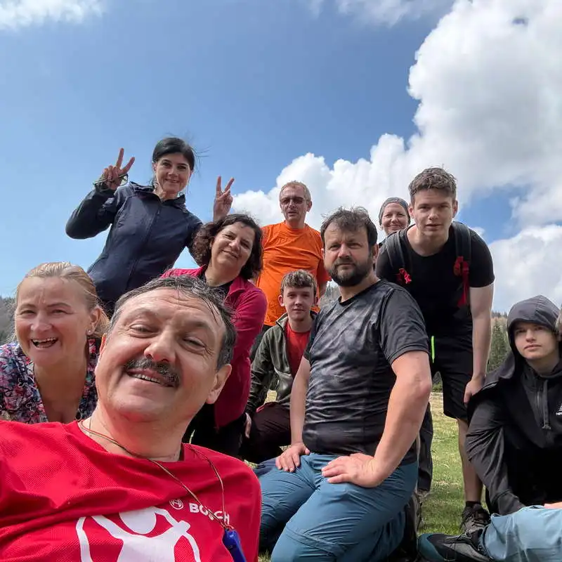
Group photo at the Rădesei Fortress

we enter the Cave of the Fortress of Rădesei
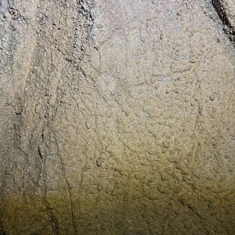
detail on the limestone wall
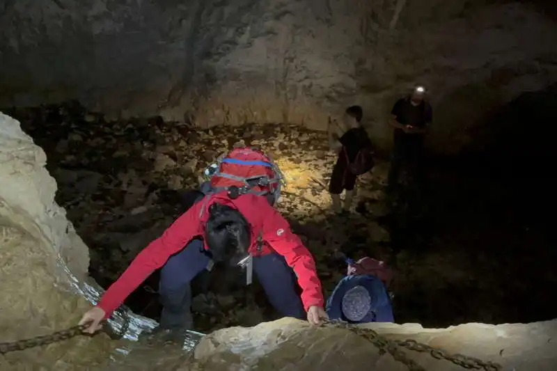
some cave obstacles are not easy to overcome
the light of a chimney illuminates the cave
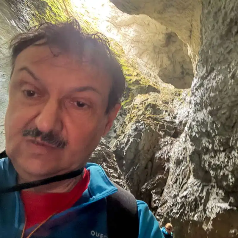
me at the Fortress of Rădesei
the final part of the Rădesei Fortress is naturally lit

natural obstacles and helping chains
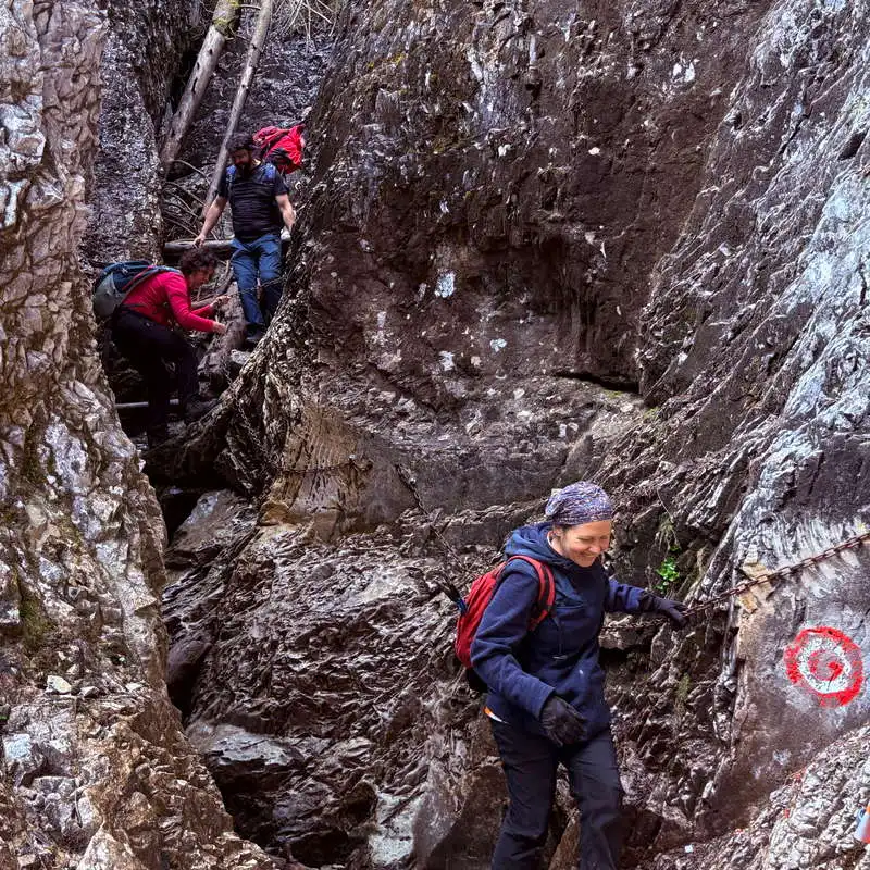
the exit from the Rădesei Fortress is spectacular and difficult
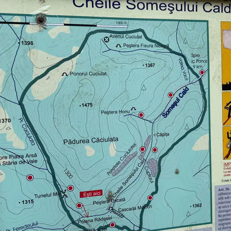
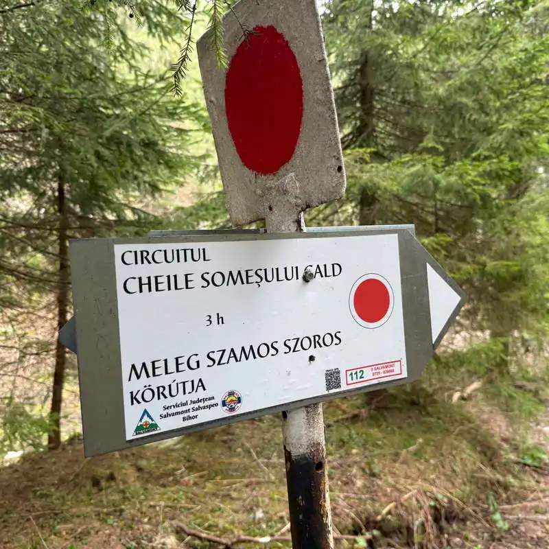
map of the Somes Cald Gorges