The Retezat–Godeanu–Cernei Ridge – Day 5/7 – The Godeanu Mountains

Scărișoara Lake (1,980 m) – Godeanu Peak (2,229 m) – Spring near Curmătura Olanelor (1,900 m)

Access

Stage 5 of the 7-day expedition along the ridge of the Retezat–Godeanu–Cernei Mountains takes us entirely along the ridge of the Godeanu Mountains. Entry/exit points to/from the ridge: at points 7 and 8, where the main ridge meets the secondary ridge that branches off to the north (right), following an unmarked trail toward Gugu Peak (2,291 m, the highest peak in the Godeanu Mountains) and further on toward the Gura Apelor reservoir along the red cross trail markers; from point 11 below Godeanu Peak, follow the red dot trail markers west (to the right) toward the Poiana Șcheiului Shelter. In general, it should be noted that the trails leading into and out of the Godeanu Mountains are very long and little-traveled, as is the main ridge itself.

About the hike on Day 5/7

This is a shorter stage, but one that takes place for a long time at altitudes above 2,000 meters—even above 2,200 meters. Paradoxically, we don’t reach the highest point at Godeanu Peak, but at point 8, where the main ridge intersects with the secondary Moraru–Gugu ridge that extends northward (to the right). Or it is the same elevation as at Godeanu Peak, which is, however, the highlight of the day as the massif’s iconic peak, offering a sweeping panorama.

Route map

(click on objectives for extended version)

Technical box

Difficulty: medium
Duration / Distance: 5.5–6 hours / 15 km
Marking: red stripe
Water sources: points 2 and 3—the springs near Lake Scărișoara; point 5; and the endpoint between Olanelor Peak and Curmătura Olanelor, a superb camping spot
Minimum elevation: 1,740 meters above sea level, at the point where you can descend into the Șes River Valley to get water and set up camp
Maximum elevation: 2,229 meters above sea level – Godeanu Peak or Point 8 at the intersection of the main ridge and the secondary ridge leading to Gugu Peak (approximately the same elevation)
Elevation difference: approximately +700 m / -800 m

Notes: We took an unmarked shortcut on the ascent from Scărișoara Lake to the ridge trail, and likewise, from Godeanu Peak, we took a shortcut toward the marked trail, avoiding a small detour on the marked path.

1. Lake Scărișoara (1,980 m) – Godeanu Peak (2,229 m)

3–3.5 hours / 8 km / moderate / red trail (and a few unmarked shortcuts)

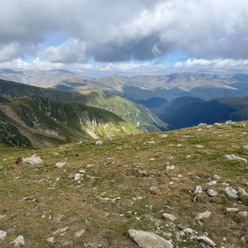
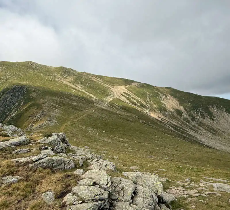
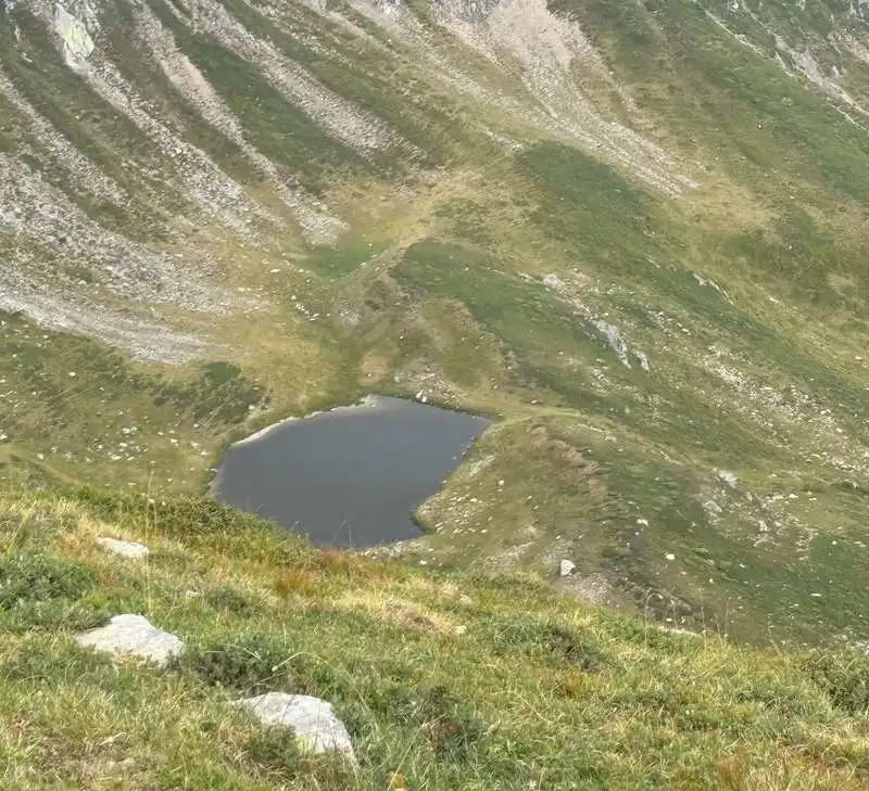
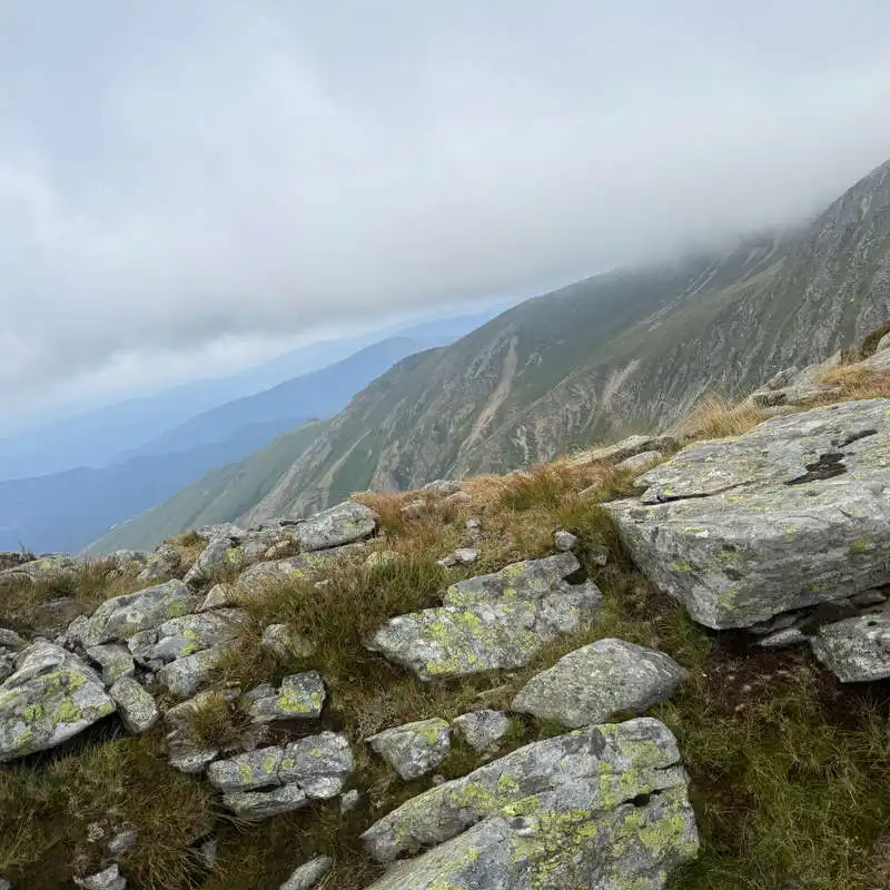
We fill our water bottles with cold water from the springs near Lake Scărișoara (points 2 and 3) and set off along the hillside, off the marked trail, on sheep trails toward the ridge trail. We can make out the ridge trail by the metal posts visible in the distance. The landscape is alpine, the air is crisp, and we can see mountains all around us, from Retezat to Mehedinți and Cernei. We pass north of Piatra Scărișoarei, then through Șaua Mițului, where the trail joins the secondary ridge leading to Vârful Gugu (2,291 m above sea level, the highest peak in the massif) via Vârful Moraru. We continue along the red trail and enjoy the close-up view of the glacial cirques on the right—Cârnea, Bonțica, and Gropița. In the distance, Lake Gropița glistens. We’re already climbing the slope toward Godeanu Peak, which we approach indirectly, following a U-shaped route.
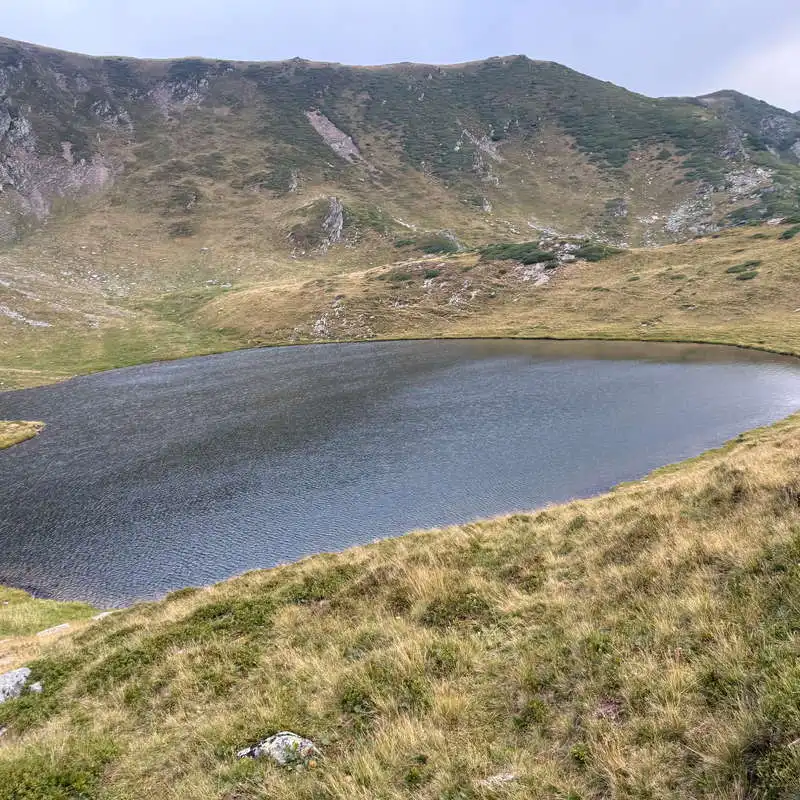
Lake Scărișoara

we won't have bad weather

spectacular scenery

Godeanu Peak is approached via a fenced-in area

glacial cirque and glacial lake

mountain ridge landscape

2. Godeanu Peak (2,229 m above sea level)

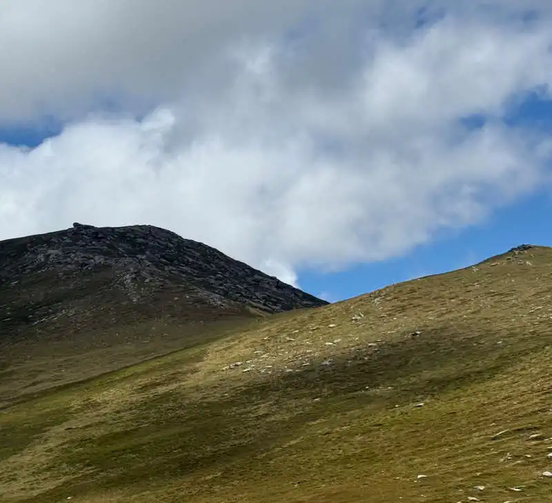
Godeanu Peak in the Godeanu Mountains is not the highest peak in this range, just as Retezat Peak in the Retezat Mountains is not either. Godeanu Peak has an elevation of 2,229 m. However, the highest peak in the range is Gugu Peak at 2,291 m.

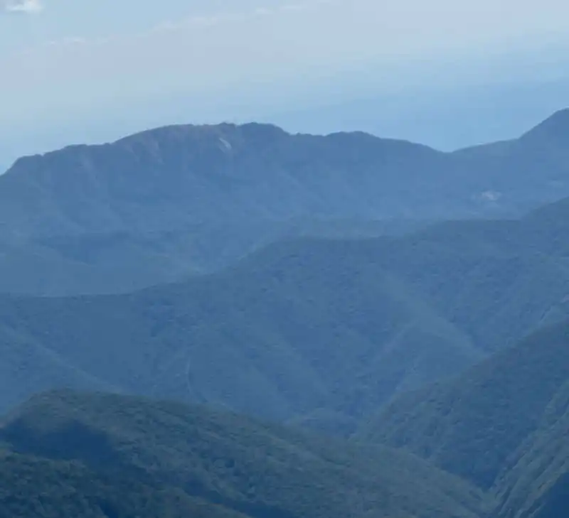
Below Godeanu Peak, to the east, down in the glacial cirque, lies Godeanu Lake. To the E-NE is the ridge we came up on, which continues past Paltina Saddle into the Retezatul Mic Mountains toward Piatra Iorgovanului. To the north lies the Moraru–Scărița–Gugu ridge, and to its left, the valley of the Șes River, which flows into the reservoir at Gura Apelor. To the E-SE, the Oslea ridge is in the foreground, and in the distance lies Piatra Cloșanilor. We turn our gaze further south, then to the southwest, where our ridge trail continues into the Cernei Mountains; to the left of this ridge lie the Mehedinți Mountains, separated from the Cernei Mountains by the Cernei Valley. We’ve caught some good weather at the summit!

At the summit, we took in the panoramic view; below the summit, in the shelter, we stopped for lunch.

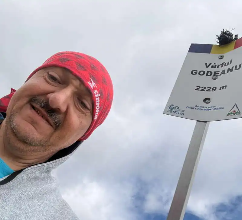
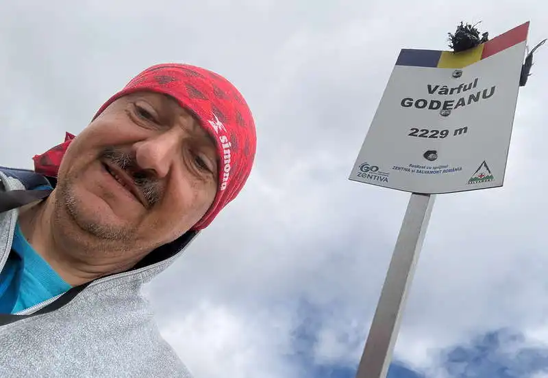
Me on Godeanu Peak

3. Godeanu Peak (2,229 m) – Spring near Curmătura Olanelor (1,900 m)

2.5 hours / 7 km / moderate / red trail

After Godeanu Peak, we descend along the ridge with the Șes River valley on our right—another recommended spot for camping and getting water— the closest point on the ridge being point 14 on the map, from where you can descend either to the left or to the right to reach a spring. Shortly thereafter (that is, after one more climb), we cross the Olan Ridge, and shortly after this pass, we reach a good spring near the forest road frequently used by blueberry pickers. This is where we’ll camp. It will be the campsite I enjoyed the most during the entire expedition. It might have been even nicer the night before, at Lake Scărișoara, if the gusts of wind hadn’t quickly driven us into our tents.

The Cloșani Stone

Conclusion 5/7

1. Very few hikers—one spotted in the distance this morning, and a group of Czechs after we set up camp. Other than that, just us and the mountains!

2. Checked off Godeanu Peak

3. Sweeping views of the Retezat, Cernei, and Mehedinți Mountains.

4. And some great camping spots.

All the best!

Steps:

en_USEnglish