Harghita Mădăraș Trail, Harghita Mountains

Mădăraș Cabin (1,620 m) – Harghita Mădăraș Peak (1,801 m) – Săritoarea Waterfall (Szökő, 1,550 m) – Mădăraș Cabin (1,620 m)

Access

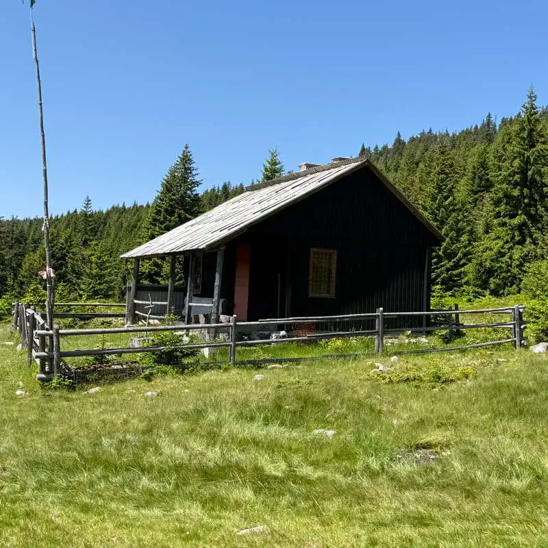
The Mădăraș Cabin, which is administratively part of the commune of Mădăraș in Harghita County, is accessible from Miercurea Ciuc via DN13A / DJ138 / DC60 / a paved forest road, through the village of Izvoare, a distance of 77 km, which takes 1.5 hours by car, or via DN13A / an unpaved forest road, from Vlăhița, a distance of 43 km, which also takes 1.5 hours by car, but requires great caution and is best traveled in high-clearance vehicles.

About hiking

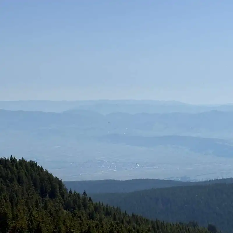
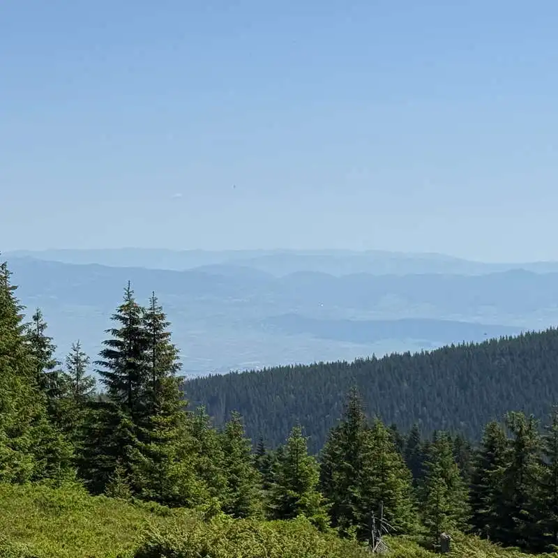
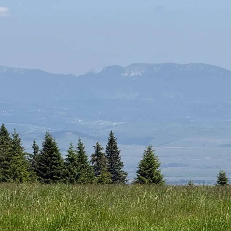
The Harghita Mountains They are part of the Călimani–Gurghiu–Harghita volcanic chain and are the youngest volcanic mountains in Romania. Located in the central part of the Eastern Carpathians, the massif stretches for approximately 70 km and is characterized by gentle peaks, vast spruce and beech forests, volcanic plateaus, and numerous spectacular geological formations, resulting from volcanic activity that took place millions of years ago. The highest point of the massif is Harghita Mădăraș Peak (1,801 m), a destination appreciated by both hikers and lovers of mountain panoramas. On clear days, from the ridge you can admire the Ciuc Basin, the Gurghiu Mountains, and vast areas of the Transylvanian Plateau.

The Harghita Mountains are remarkable for the diversity of their natural landscapes. The dense forests are home to a rich variety of wildlife, including brown bears, Carpathian red deer, roe deer, and numerous bird species, while the alpine meadows and oligotrophic marshes provide habitats for rare and protected plants. The area is also renowned for its natural mineral springs, mofettes, and the spa resorts developed around them—features that reflect the massif’s volcanic origin.

In addition to their natural attractions, the Harghita Mountains are home to numerous historical sites and local legends. Medieval fortifications, earthen fortresses, ancient trade routes, and places steeped in tradition make this region an ideal destination for those who wish to combine hiking with exploring Transylvania’s cultural heritage. Set within this spectacular landscape is the Păgânilor Fortress, one of the most fascinating historical sites in the Harghita Mountains, where nature and history complement each other in a unique way.

About hiking

The Harghita Mădăraș Circuit It is a spectacular mountain trail that combines an ascent to Harghita Mădăraș Peak (1,801 m), the highest point in the Harghita Mountains, with a visit to the picturesque Săritoarea Waterfall. The trail winds through coniferous forests and across ridges offering sweeping panoramic views, making it suitable for hikers of average fitness. Along the way, you’ll discover varied landscapes and one of the most beautiful mountain areas in Harghita County.

Route map

(click on objectives for extended version)

Technical box

Difficulty: medium
Duration / distance: 3–4 hours, including breaks / 7 km
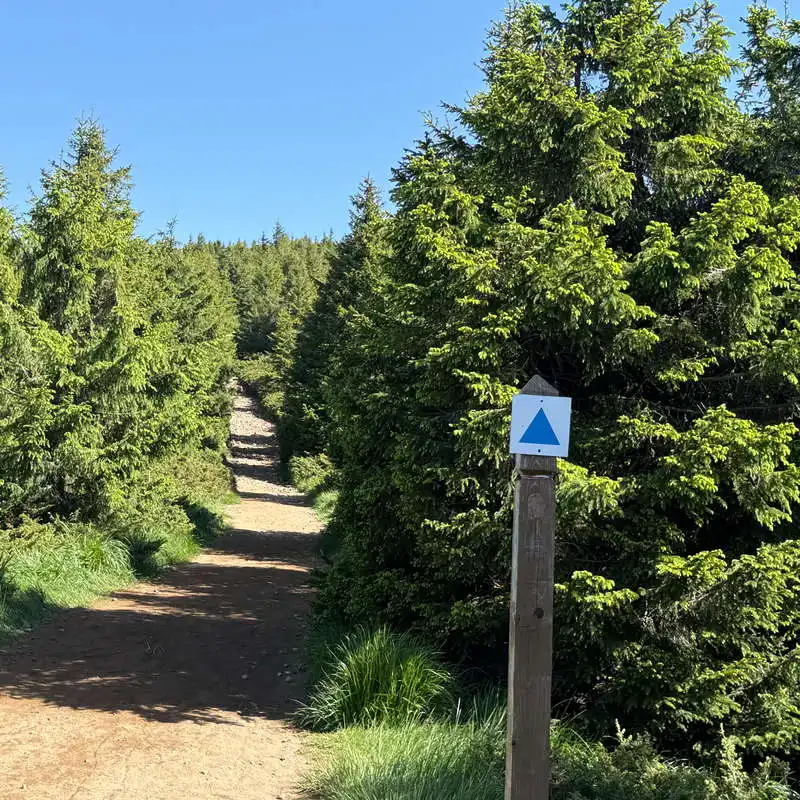
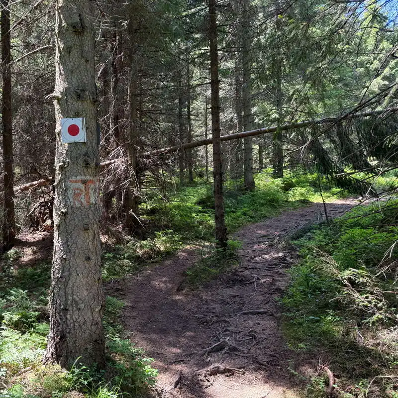
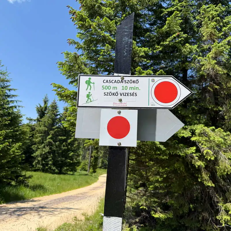
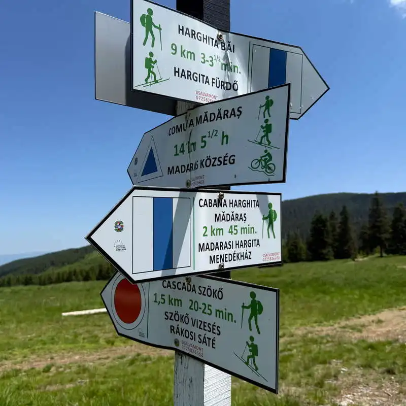
Marking: unmarked, blue triangle, unmarked, red dot
Water sources: at Săritoarea Waterfall, point 10 on the map
Minimum elevation: 1,530 meters above sea level, point 8 on the map
Maximum elevation: 1,801 meters above sea level, at Harghita Mădăraș Peak, point 5 on the map
Elevation difference: approximately +300 m / -300 m

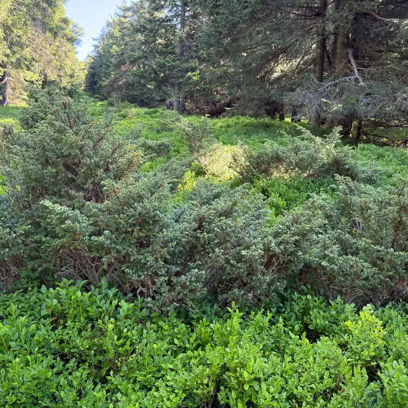
Notes: The unmarked trail that passes through points 2–3 on the map is overgrown with juniper bushes; accessible year-round

1. Mădăraș Cabin (1,620 m) – Harghita Mădăraș Peak (1,801 m)

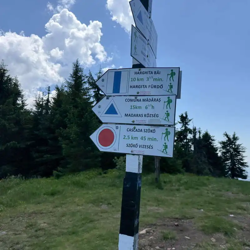
1 hour / 1.5 km / moderate / unmarked, blue triangle

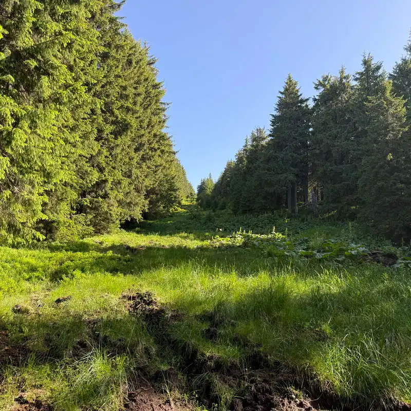
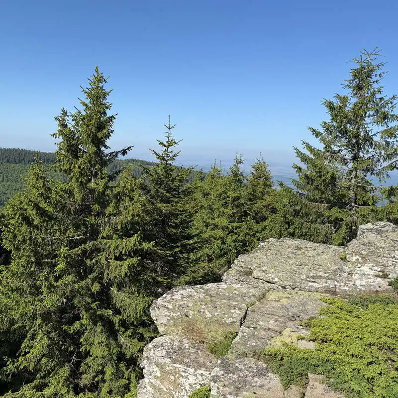
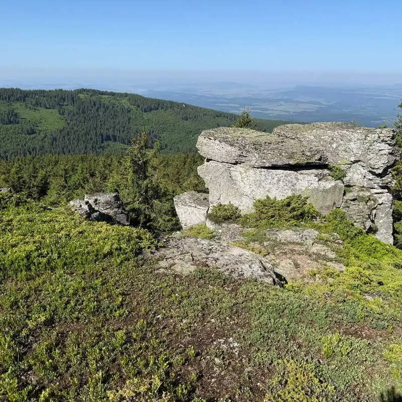
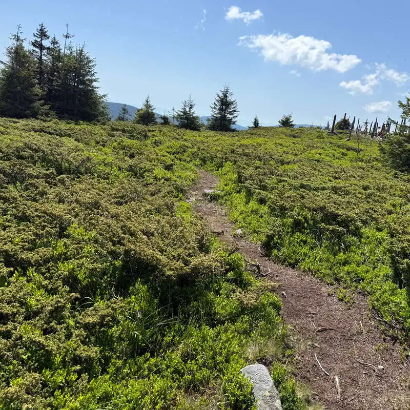
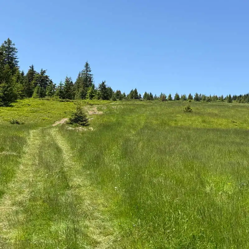
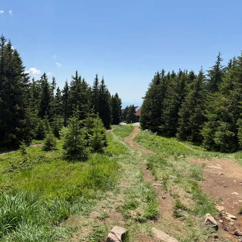
For this section of the trail, you can only follow the blue triangle that begins right at the Mădăraș Cabin. I wanted to add a touch of adventure and cover part of this distance on an unmarked trail to reach a lookout point. Our trail begins 60 meters below the lodge, where the paved road starts. Here we notice a cleared corridor that we follow along its left edge. As we gain elevation, the forest ends, and we enter an area where juniper has covered the already faintly defined trail in many places. We’ll pass by a lookout point, situated on a cliff, with a view of the Transylvanian Plateau. We continue along an unmarked and more challenging stretch, where we have no choice but to step through the juniper bushes in places, until we intersect the wide trail marked with a blue triangle, which most hikers take. This trail leads us uphill to Harghita Mădăraș Peak.
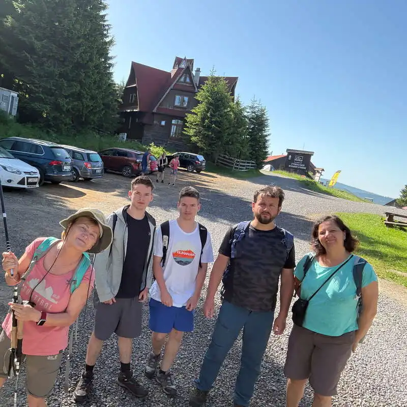
ready to go

We move forward along the left side of this corridor

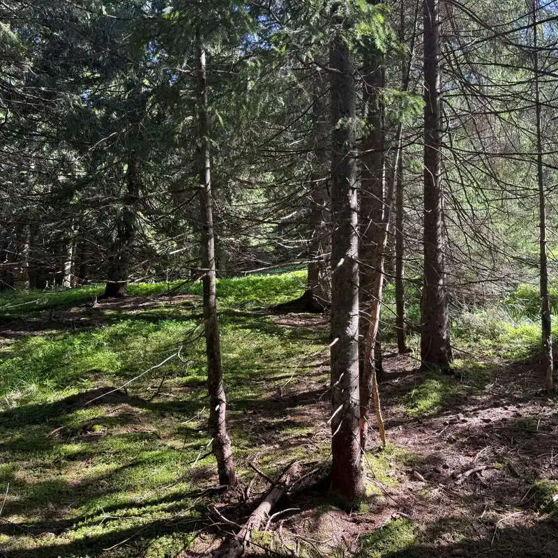
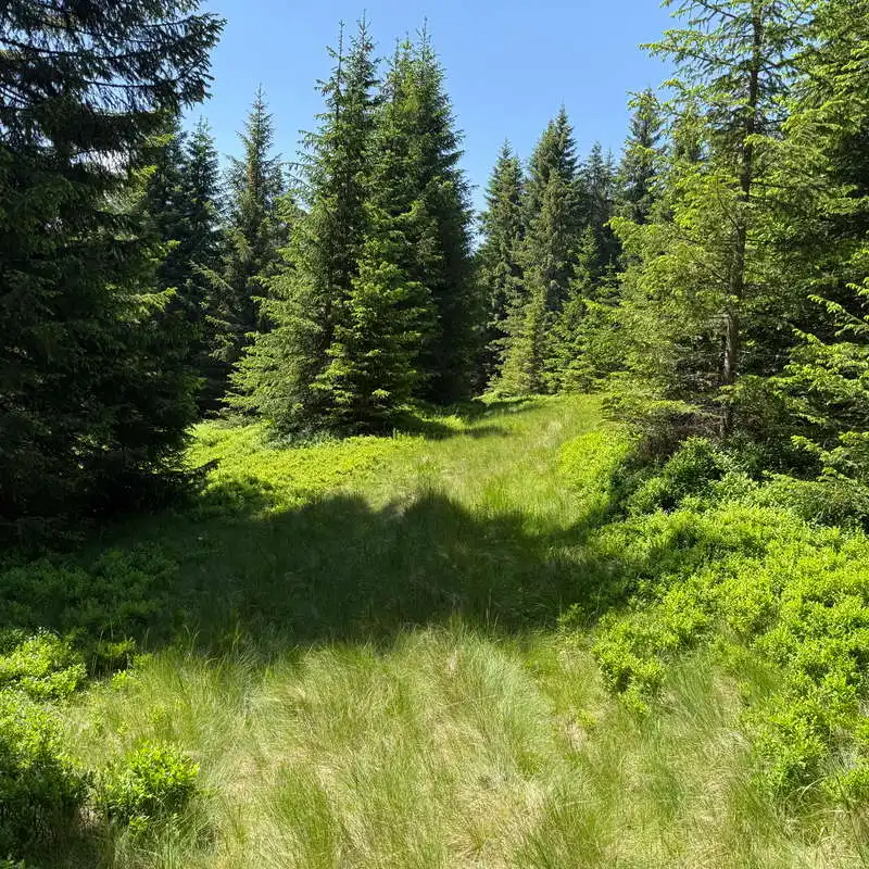
The unmarked trail winds its way through the forest

We struggle to make our way through the junipers

viewpoint

belvedere point

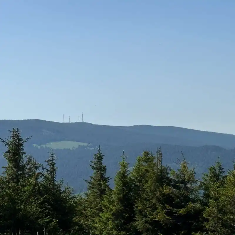
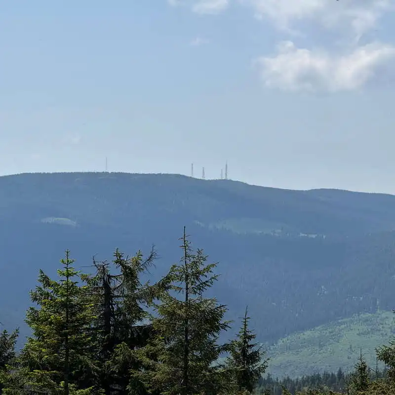
Harghita Ciceu Peak

There's no sign of a trail; we're stepping on juniper bushes to make our way forward

finally on the marked trail

2. Harghita Mădăraș Peak (1,801 m above sea level)

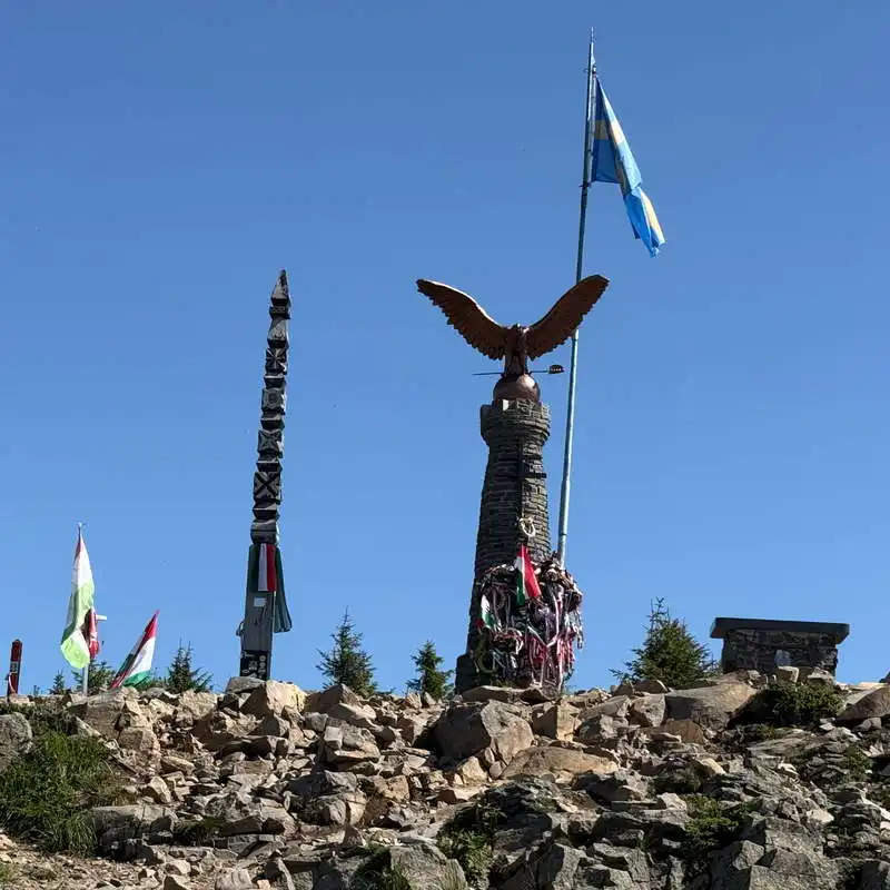
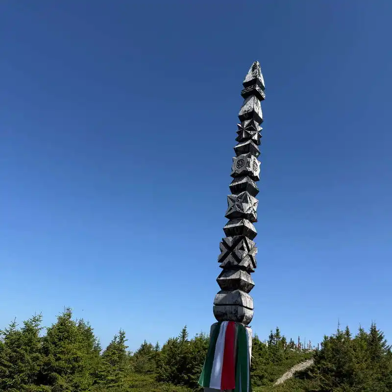
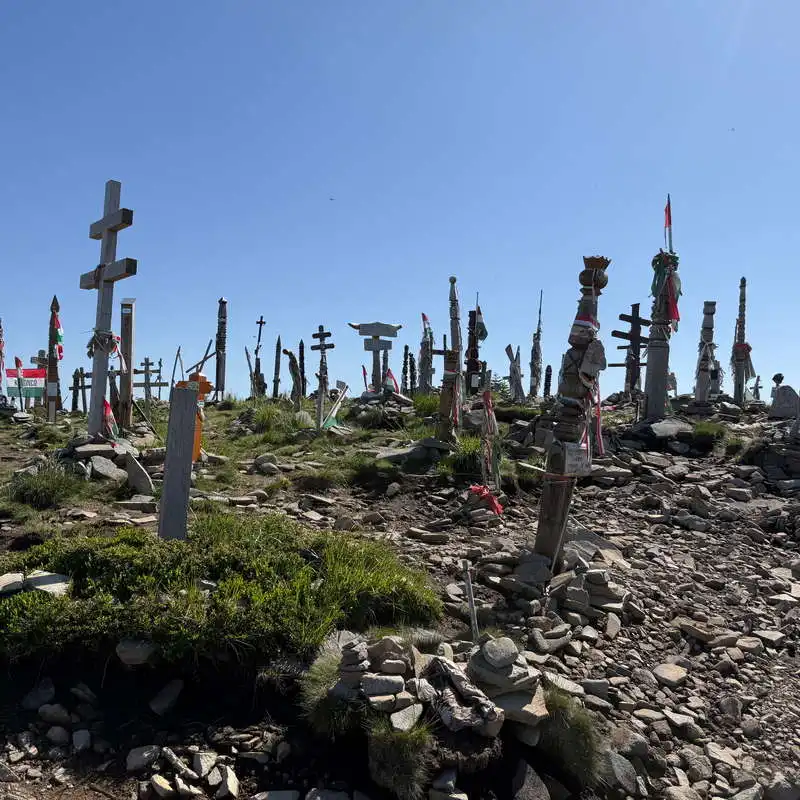
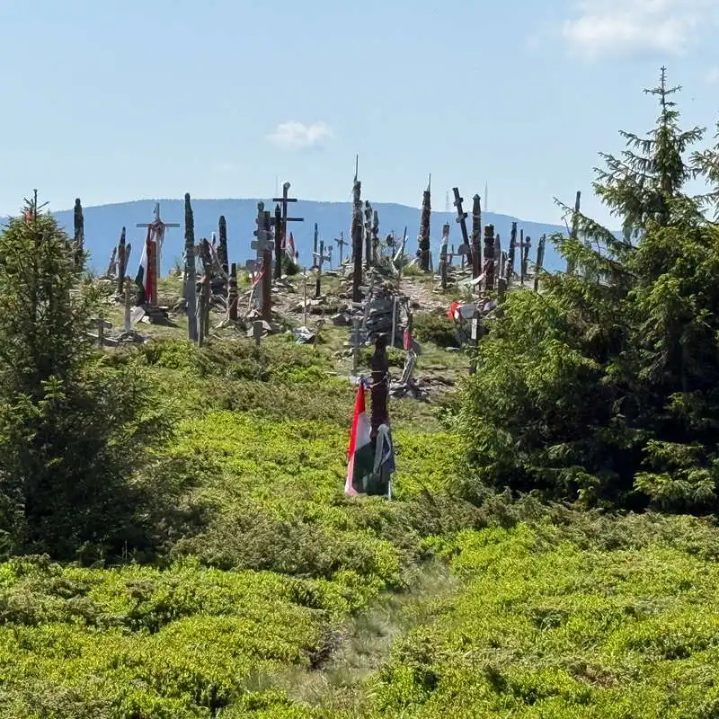
At an elevation of 1,801 meters, Harghita Mădăraș Peak is the highest point in the Harghita Mountains and one of the most famous mountain destinations in eastern Transylvania. The peak is famous for its collection of wooden and stone monuments, erected in memory of events and figures important to the Hungarian community in Transylvania. Among these, the following stand out: The Millennium Cross (Millenniumi Kereszt), which opened in 2000, as well as several carved Szekler pillars (kopjafa), funerary and commemorative monuments specific to Szekler culture. The impressive statue of The Tour, the mythological bird depicted as an eagle, considered a symbol of origin, protection, and national identity in Hungarian tradition.

From this vantage point, spectacular panoramic views open up over the Harghita Mountains, the Gurghiu Mountains, and the Ciuc Basin, and on clear days, you can even make out the distant ridges of the Făgăraș Mountains. Here we take a well-deserved 40-minute break.


The statue of the Turul—the Hungarian mythological bird

kopjafa, a traditional carved Hungarian funerary pillar

Mădăraș Peak in the Harghita Mountains (1,801 m), the highest point in the Harghita Mountains

We leave the sacred mountain of the Székelys

3. Harghita Mădăraș Peak (1,801 m) – Săritoarea Waterfall (Szökő) (1,550 m)

1 hour / 2.8 km / moderate / blue triangle, unmarked

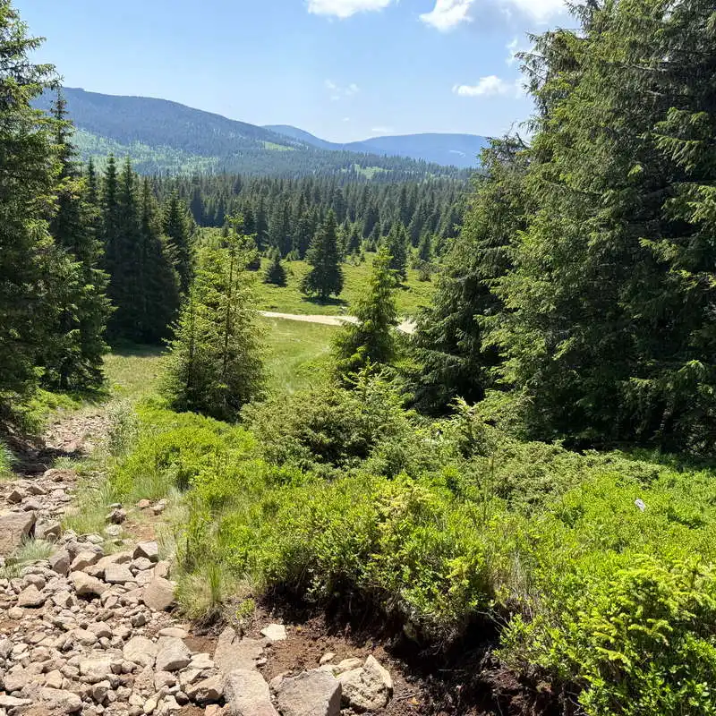
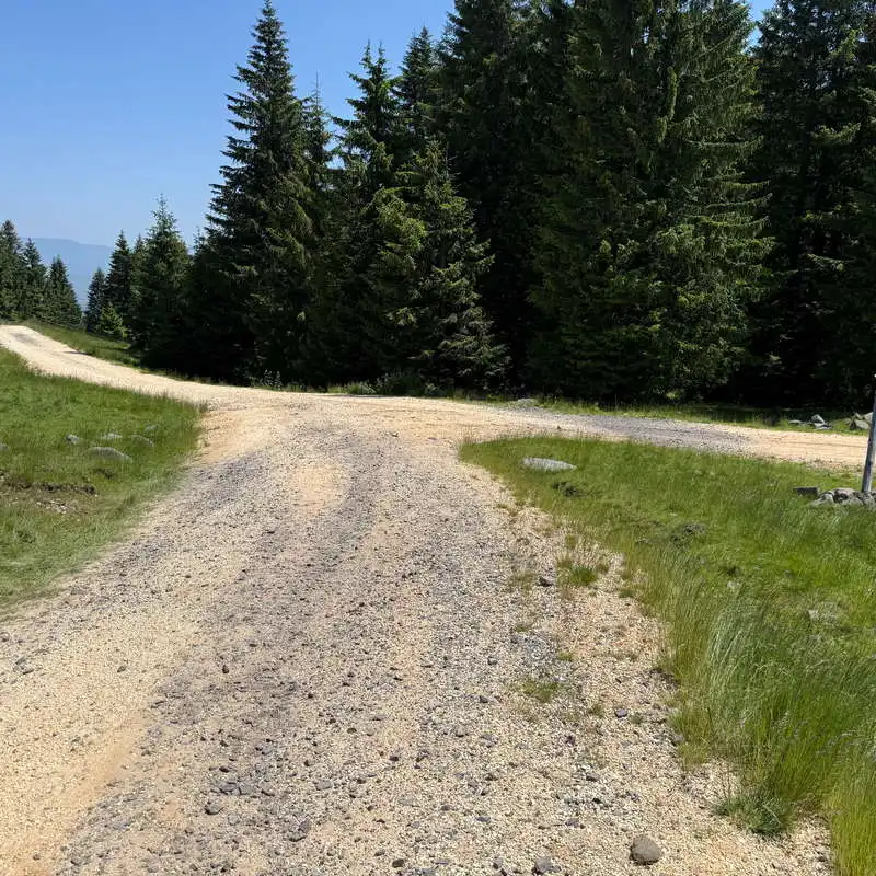
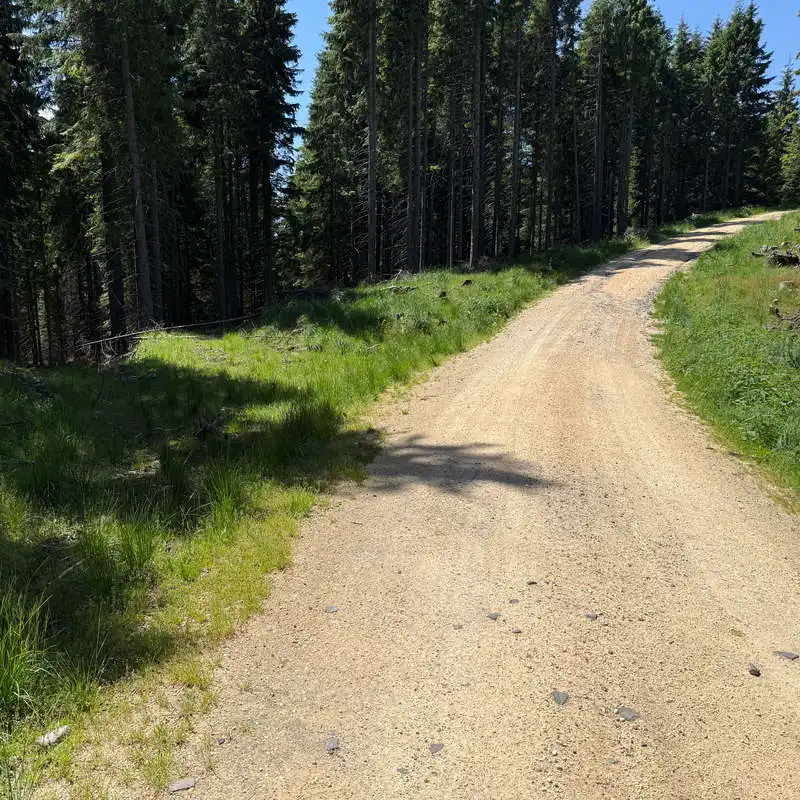
We descend from the sacred mountain of the Székelys—also known as Mădărașul—following the blue triangle markers along a very clear trail through the junipers; it’s the same path again, but this time it’s very easy. At the base of the slope, we come across a shelter/cabin and a forest road, which we follow to the left until we reach a T-intersection, where we also see a sheepfold. This is the lowest point of our hike. We continue to the right on the same marked forest road, and as the main road makes a slight right-hand curve, we veer slightly left into the forest onto an unmarked trail—a shortcut to the waterfall. We pass through a clearing and begin to hear the sound of the waterfall, signaling that we’re getting close. We carefully descend the last few meters to the base of the waterfall. What a beautiful place this is!

The marked trail winds down through the junipers

Harghita Ciceu Peak

We descend from Harghita Mădăraș Peak

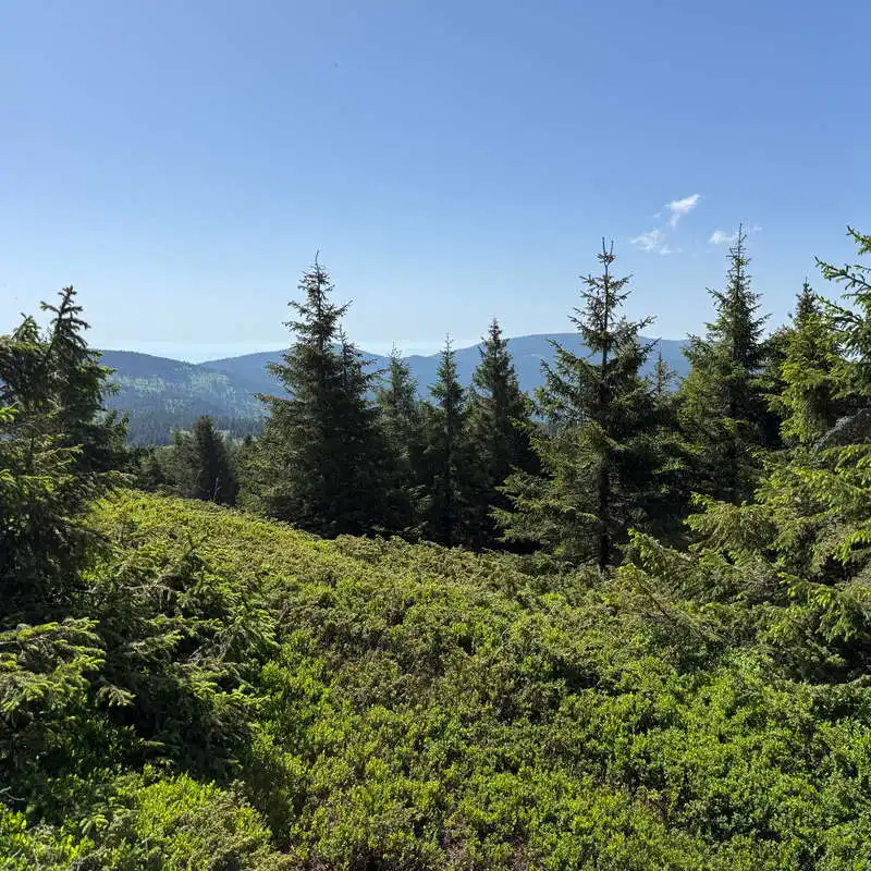
Panorama of the Harghita Mountains

a shelter in an open area where we come out onto the forest road

The Ciuc Mountains

From the leg of the T, we turn right

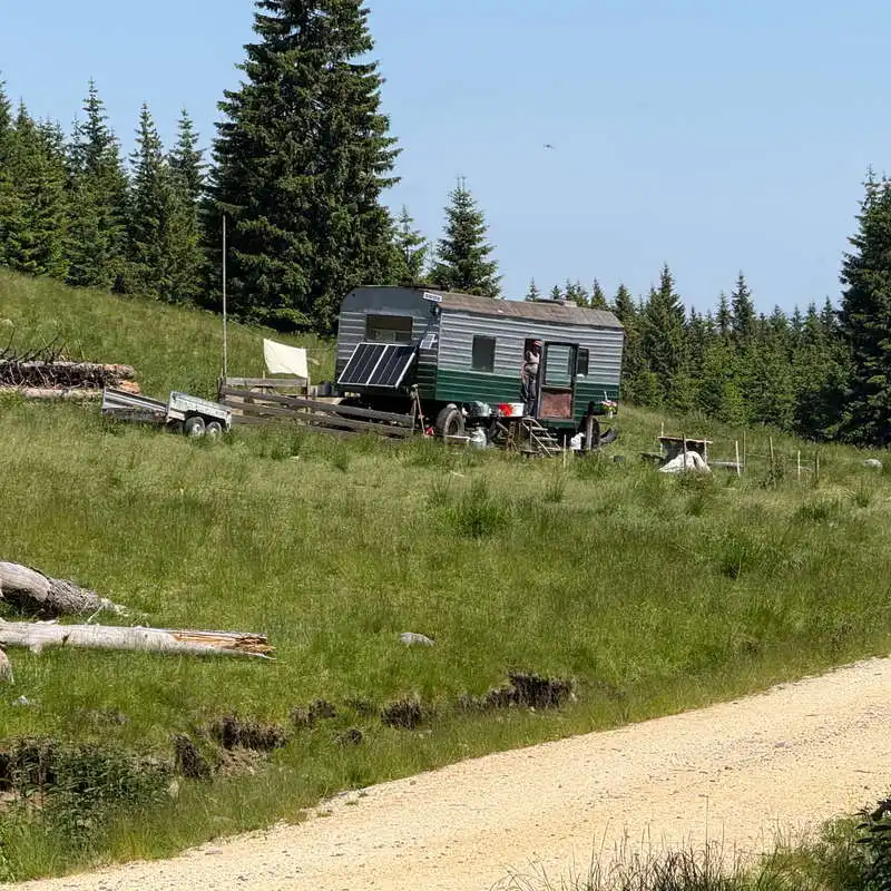
sheepfold with solar panels

Here we leave the trail and head left toward the waterfall

the unmarked shortcut to the waterfall

Szökő Waterfall (The Leaper)

4. Săritoarea Waterfall (Szökő) (1,550 mdm)

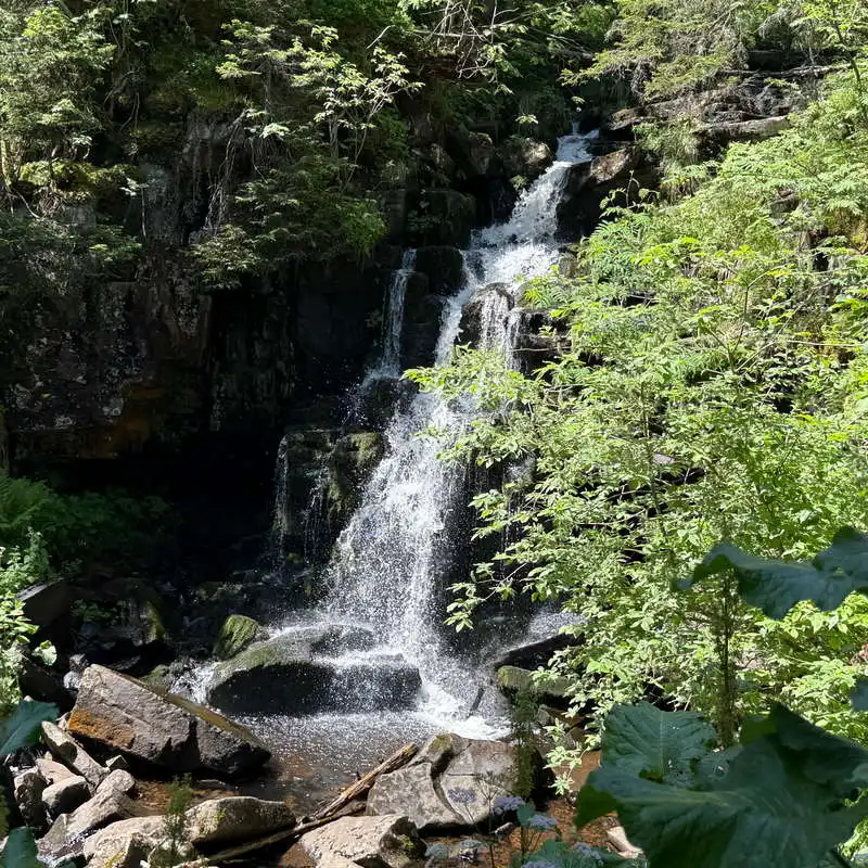
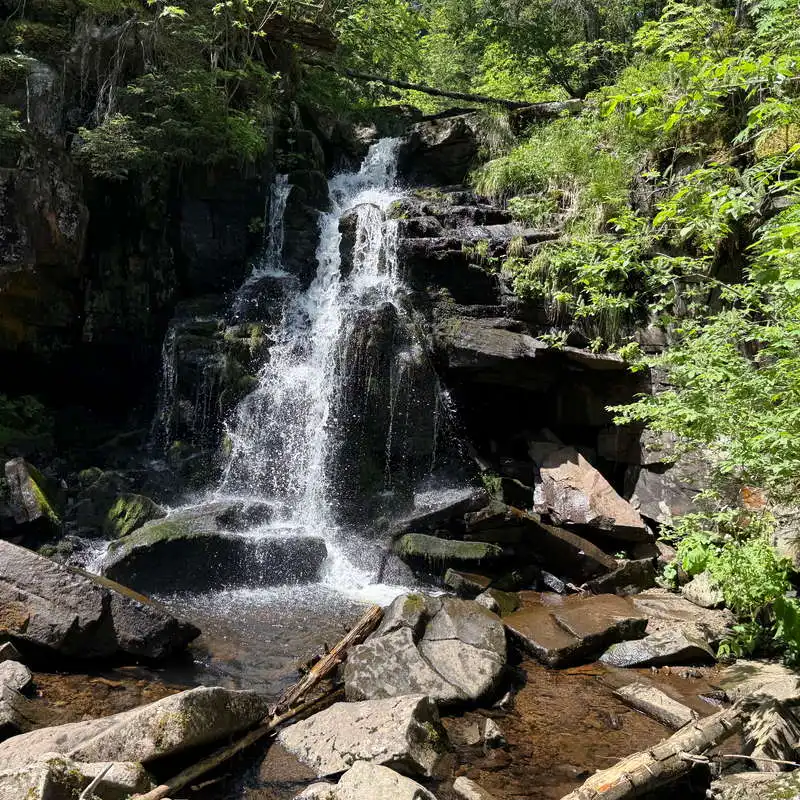
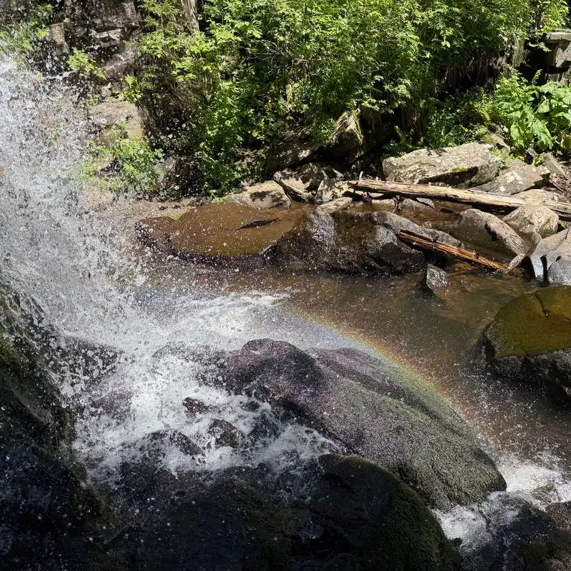
Located at an altitude of approximately 1,550 meters, the Săritoarea (Szökő) Waterfall is one of the most beautiful natural attractions in the Harghita Mădăraș area. The waterfall was formed on the Szökő Stream, where the water plunges over an andesite threshold—a volcanic rock specific to the Harghita Mountains. Surrounded by a spruce forest, the waterfall offers a cool and peaceful spot, perfect for a break before completing the loop. Although it is not particularly impressive in terms of height, its charm lies in the wild natural setting and the unique atmosphere created by the forest and the sound of the water.

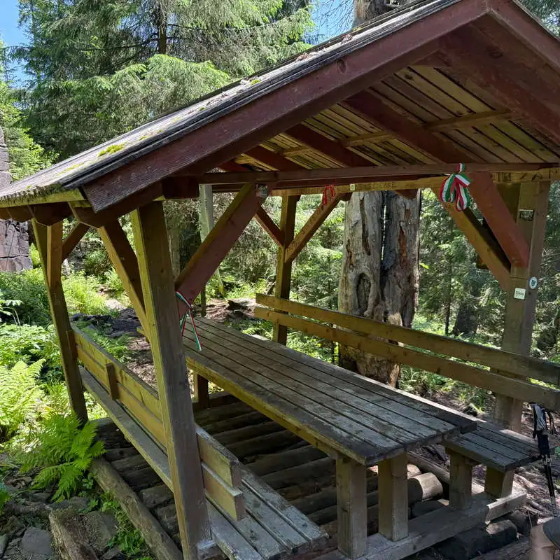
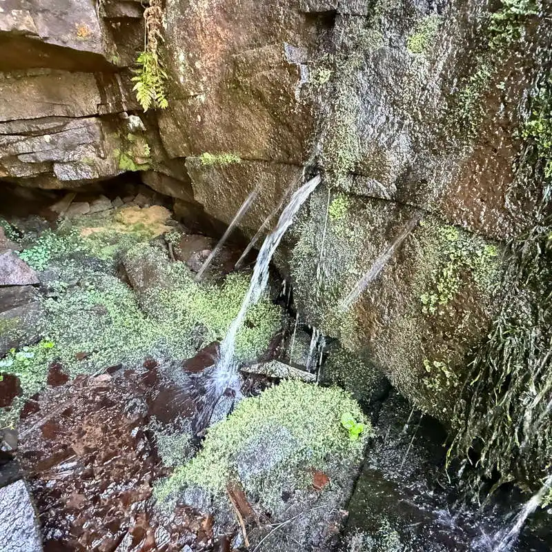
We marvel at how, in one spot, water actually gushes out of the rock with the same pressure as from a pipe, and the rainbow nearby completes the stunning scene. You can also take a dip in the waterfall, and at the shelter equipped with a table and benches, you can enjoy a meal. 30-minute break.

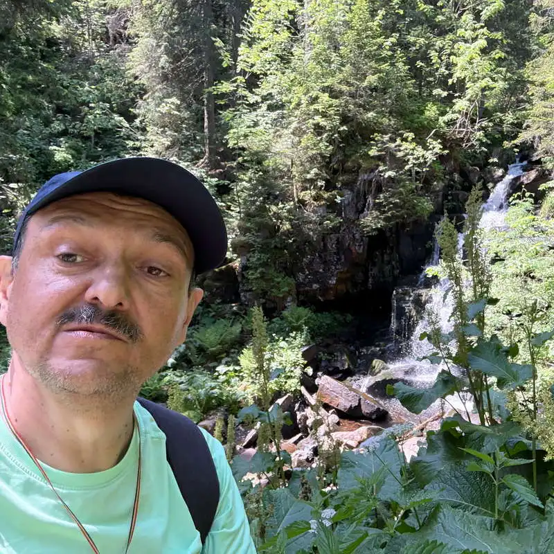
Me at Săritoarea Falls

rustic wooden shelter

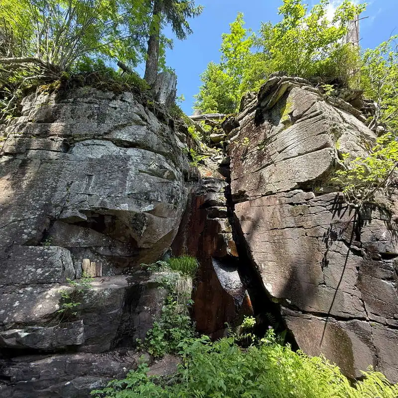
rocks near the waterfall

Săritoarea (Szökő) Waterfall

the rainbow at the base of the waterfall

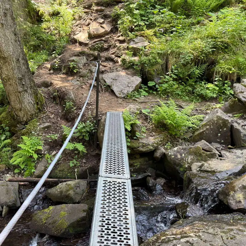
the bridge at the base of the waterfall

water gushes from the rock

5. Săritoarea Waterfall (Szökő, 1,550 m) – Intersection at Point 11 – Mădăraș Cabin (1,620 m)

1 hour / 2.8 km / moderate / red marker

From the waterfall, we follow the red dot trail markers. We climb through the forest and then emerge into an open area, onto a forest road. This road circles the marshy area around the Seche Stream, where a plant with white fluff, called “bumbăcărița,” grows. At Point 1, we find ourselves at the intersection of the trails we passed through a day earlier on our way from Racu. This time, we follow the red dot trail markers all the way to the cabin without detouring to the lookout point or any other side trails.

We're hiking up to the red marker through the forest

This is where the trail meets the forest road

the intersection we passed through yesterday as well

The Harghita Mountains

on the dry edge of the Seche Creek marsh

signalized intersection

almost there

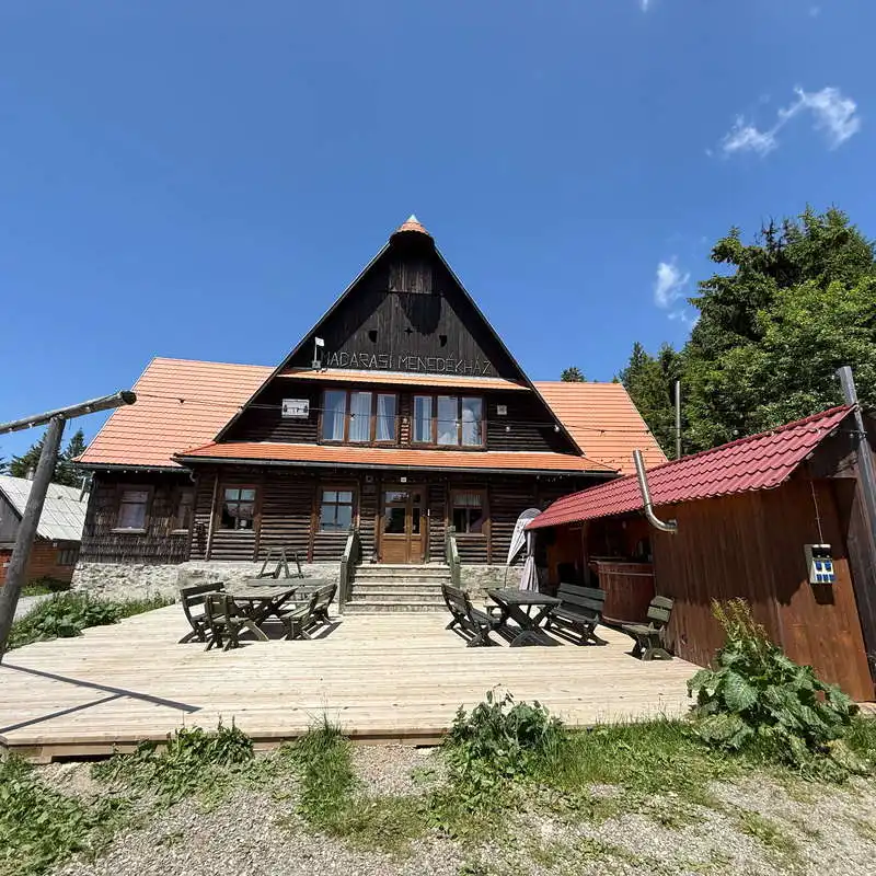
Mădăraș Cabin - the end point

Conclusion

The Harghita Mădăraș Circuit It is a hike that combines spectacular scenery with remarkable natural and cultural sites. Climbing the highest peak of the Harghita Mountains, visiting the monuments at the summit, and stopping at the Săritoarea (Szökő) Waterfall make this route a memorable experience, suitable for both nature lovers and those who wish to discover the beauty and traditions of the Szeklerland.

All the best!

Steps:

en_USEnglish