Brisk walking and „wading” in the hills of Cluj on the Popii River

Gârbâului Valley (420 m) - Belvedere Bartha (574 m) - Belvedere Brüll (570 m) - Râtul Popii (550 m) - Gârbâului Valley (390 m)

Access

The starting and finishing points of this route are on Valea Gârbăului Street in Floresști commune (CJ), in the places explicitly marked on the map inserted in the article, but in different places.

About hiking

I chose a combination of marked and unmarked trails in the Râtul Popii area for the morning's movement. The times measured in the article are realistic for normal walking, they are not the times I realized at a brisk pace. You can look at it as a relaxing walk through the forest, passing two lookout points and discovering the joy of exploring the unmarked paths. The walk also had a „wading” component, i.e. trail-finding, one of which led me to turn up at the last relevant marked spot to reconfigure the route.

Route map

(click on objectives for extended version)

Technical box

Difficulty: easy
Duration / distance: 2,5-3 hours / 9 km
Marking: unmarked / red dot / red triangle / blue cross / blue cross / red triangle / red triangle / unmarked / red triangle / unmarked / red dot
Water sources: not on the path, there is the nearby Mackó Spring to the left of the path, before point 3 (Belvedere Bartha).
Minimum altitude: 390 meters, on arrival
Maximum altitude: 660 meters, at point 6 on the map
Level difference: +300 m / -300 m

Comments: partially unmarked route with lookout points; accessible all year round

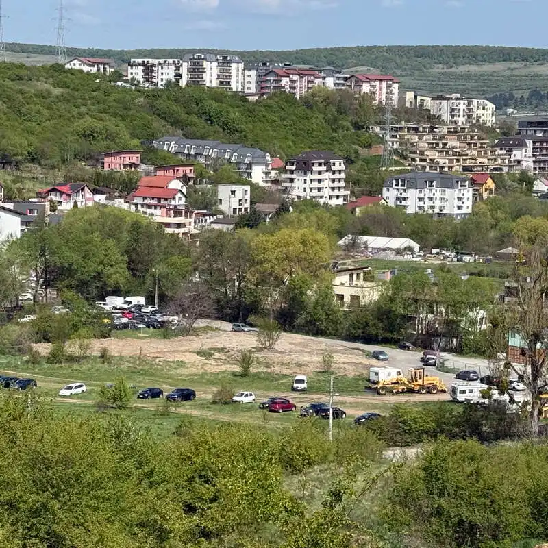
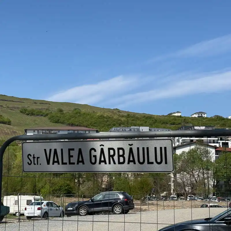
1. Gârbâului Valley (420 m) - Belvedere Bartha (574 m) - Belvedere Brüll (570 m)

distance 2 km / duration 30-45 minutes / easy / unmarked

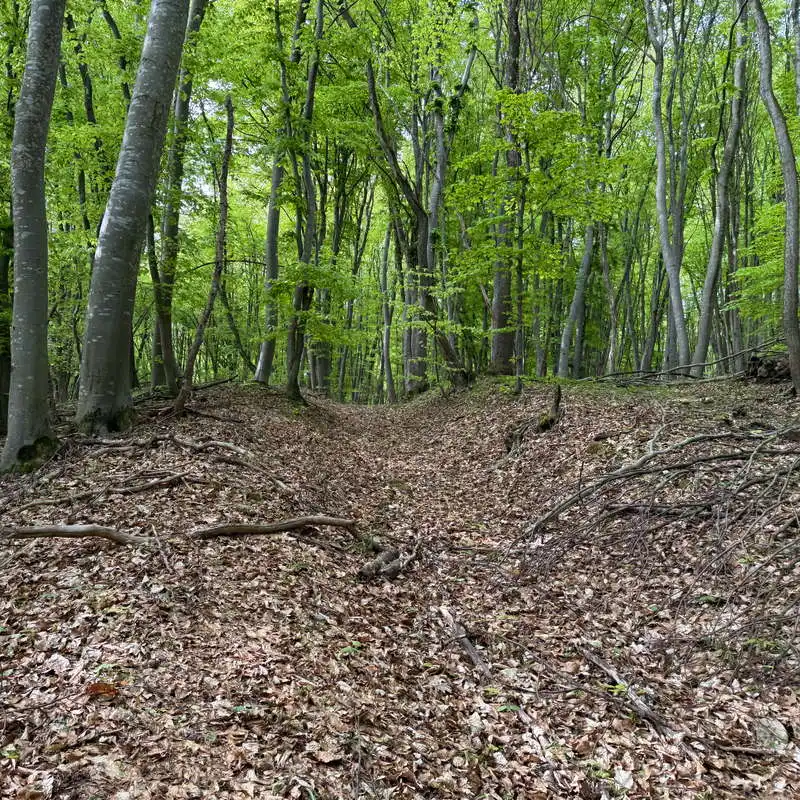
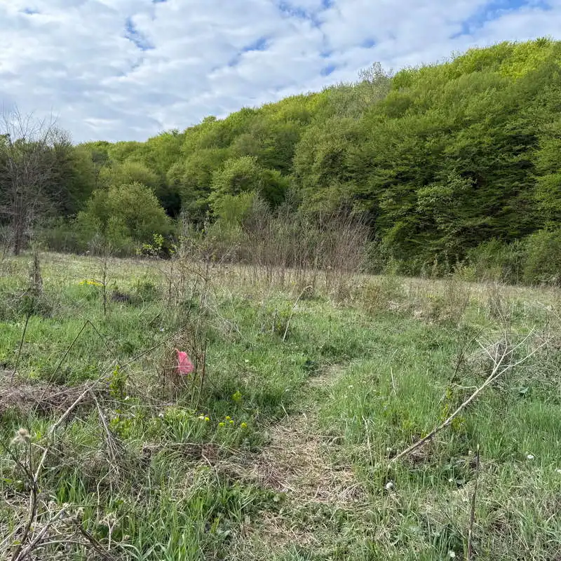
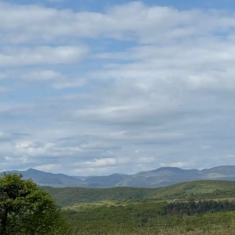
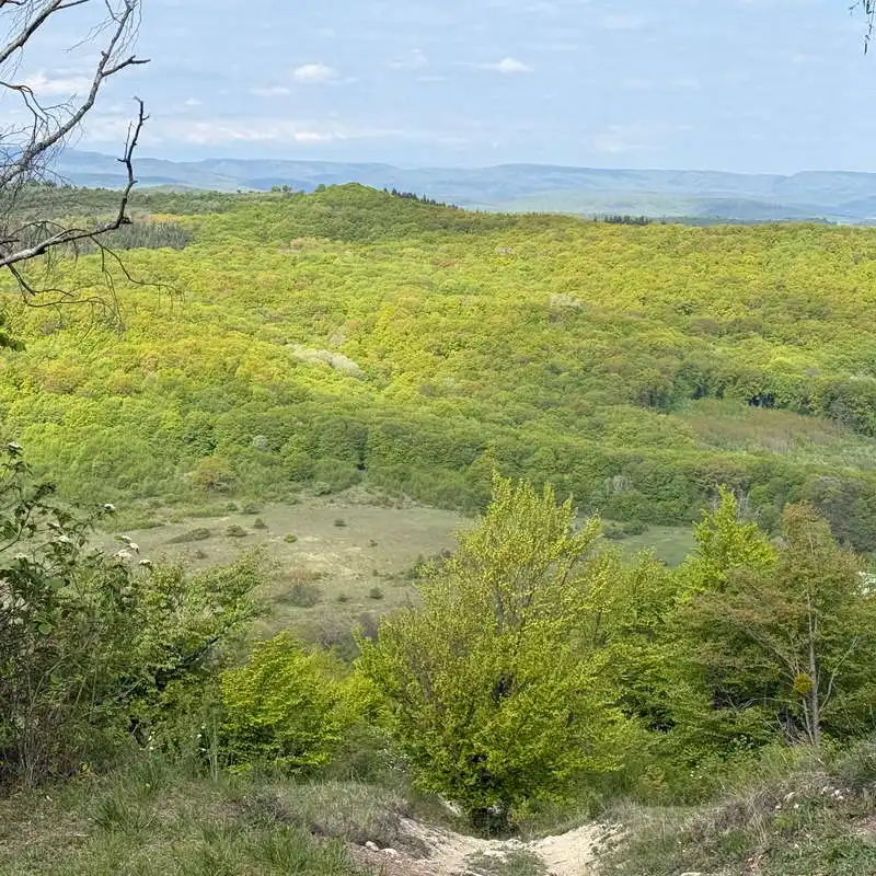
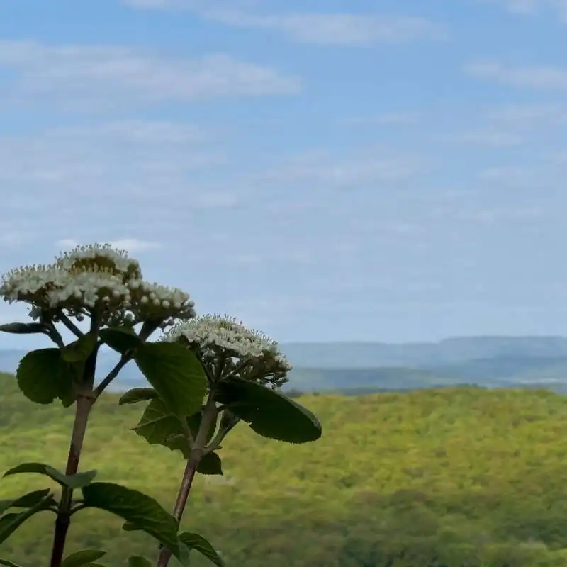
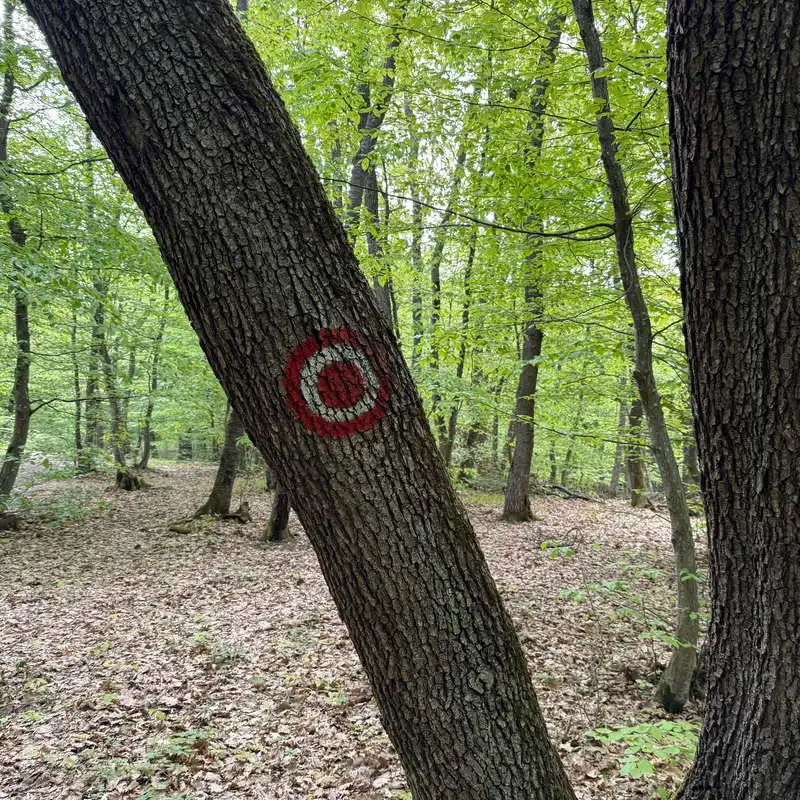
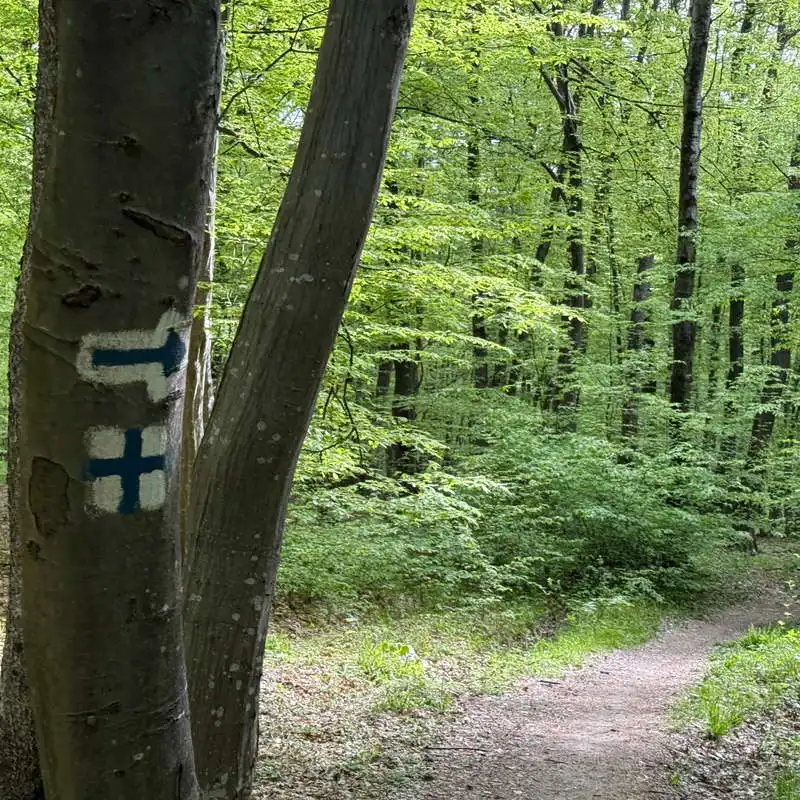
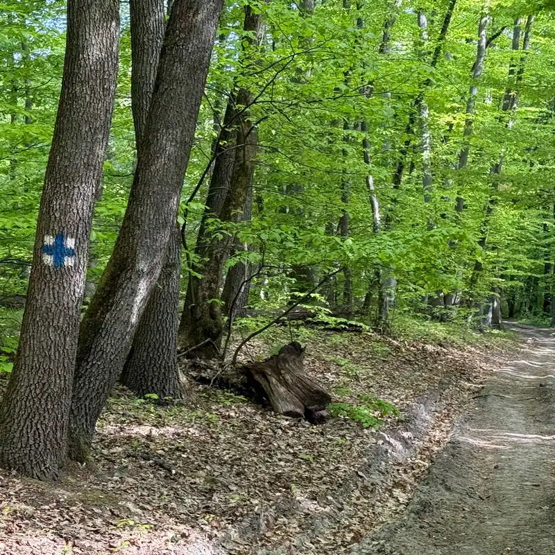
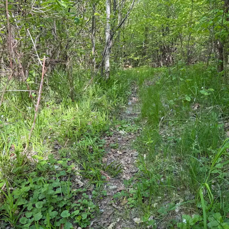
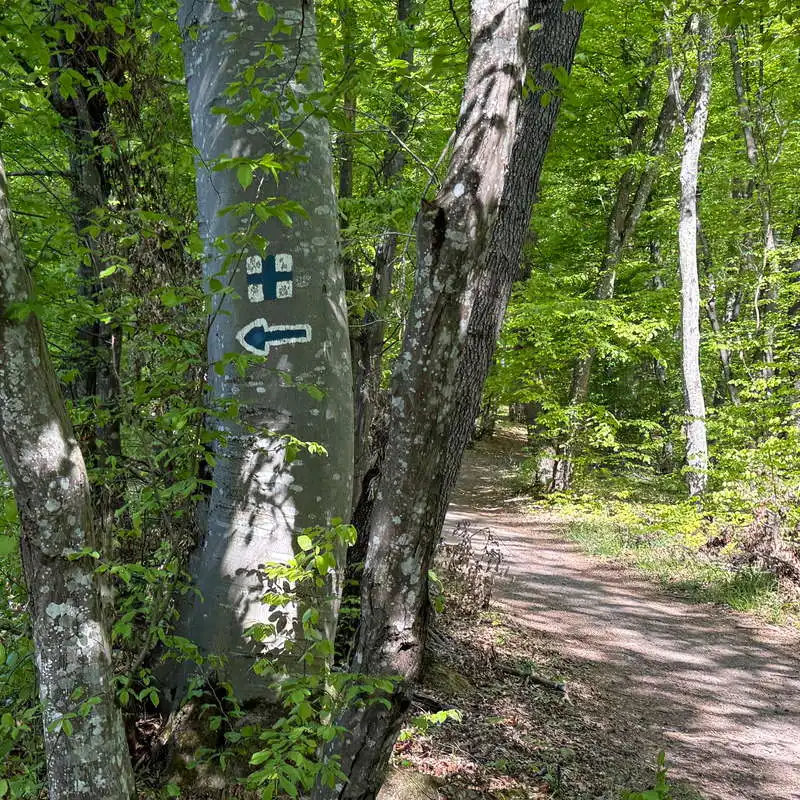
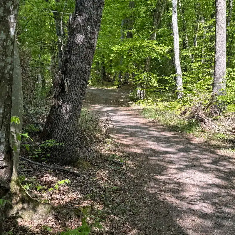
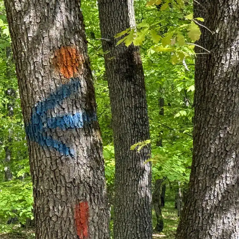
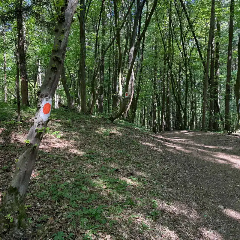
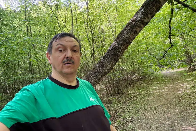
Between points 1 and 2 on the map there is a hardly visible path, which after a very short time enters the forest, where it begins to take the shape of a path, and later, after meeting another unmarked path, it becomes clear. The climb is slow and pleasant. We reach a small plateau, where to the left of the path is the Belvedere Bartha (point 3). We go back into the forest, we advance on the plateau and after a few more minutes we reach the point Belvedere Brüll (point 4). In the center of the picture, slightly to the half-right, the Vlădeasa massif is visible.

starts to look like a path

barbecues in the Gârbă Valley

this is what the poorly marked path looks like at the beginning

wild rockrose (dwarf iris)

view towards Vlădeasa

Belvedere Brüll

2. Belvedere Brüll (570 mdm) - intersection PR TR (600 mdm) - intersection TR CA (660 mdm) - Popii Stream (550 mdm)

distance 3 km / duration 45-60 minutes / easy / red dot, red triangle, blue cross

From point Belvedere Brüll The path changes direction 90 degrees to the left through the forest and is marked with a red dot. After less than 10 minutes we enter the red triangle marker (point 5) and pass by Slamovics Refuge. From here we climb for another 20 minutes, but just as easy, up to the intersection with the blue cross marker (point 6), the highest elevation on the route we followed. The two markers go together up to the Penii Stream, except that I will now turn back on the blue cross, slightly downhill for 20 minutes to the area Popii Stream (points 7-8), where we find the red triangle.

Brüll-kilátó

double red circle marking

we enter the red triangle

fork red point red triangle red triangle

Slamovics-ház Shelter

leaving the red triangle

now we cross the blue cross

the blue cross marked footpath

red triangle that way

other CA branch with TR

the branch from Râtul Popii

the branch from Râtul Popii

3. „Bathing” in the area of Râtul Popii (550 mdm)

distance 1,5 km / duration 20 minutes / hard to walk / unmarked

We continued at a sharp angle past the red triangle marker for 8 minutes. The plan was to identify a trail, at first unmarked, that descends into the Drumul Gârbăului by the Cerna spring. I entered on it (point 9), but as I advanced it became more and more unclear, and the thick forest with thin copses complicated the progress (point 10). I decided to return to the intersection of the marked trails in the area Popii Stream (point 11).

we cross the red triangle

I "waded" until I gave up

mark left, us forward

4. Popii Stream (550 mdm) - Sfântul Ioan Forest - Sinitău - Gârbăului Road (mdm)

distance 2,5 km / duration 30-45 minutes / easy / unmarked, red point

Studying the map, we reconfigured the route by choosing other unmarked trails. thus followed the descent through the St. John Forest to the left of the Sinitău Peak. I marked many intersections on the map so that you can exactly identify the trails followed, especially since there will be many forks. From point 21 the red dot marker appeared, which on the mapy map did not appear. The descent was accompanied by various signs painted on the trees, probably marked for a tourist orienteering or running competition. This trail is wide and very clear and cannot be lost if you always follow the wide path. and well contoured.

clear unmarked path we follow

non-approved markings

a marking that does not appear on all maps

view towards Floresști

final point

Conclusion

I enjoyed this fast-paced movement which for me lasted only 1 hour and 45 minutes. I discovered new trails, did a bit of tourist orienteering and got energized.

All the best!

Steps:

en_USEnglish